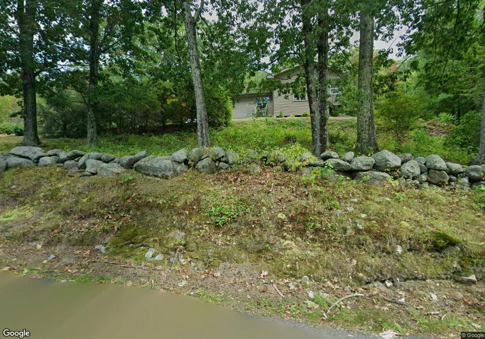
477 High Rock Rd Fitchburg, MA 01420
Estimated Value: $424,000 - $491,257
3
Beds
1
Bath
1,312
Sq Ft
$348/Sq Ft
Est. Value
About This Home
This home is located at 477 High Rock Rd, Fitchburg, MA 01420 and is currently estimated at $456,064, approximately $347 per square foot. 477 High Rock Rd is a home located in Worcester County with nearby schools including Fitchburg High School, Crocker Elementary School, and South Street Elementary School.
Ownership History
Date
Name
Owned For
Owner Type
Purchase Details
Closed on
Jul 8, 2013
Sold by
Mammone Elizabeth A
Bought by
Elizabeth A Mammone Re and Mammone Elizabeth A
Current Estimated Value
Purchase Details
Closed on
Dec 14, 1984
Bought by
Elizabeth A Mammone Ret
Create a Home Valuation Report for This Property
The Home Valuation Report is an in-depth analysis detailing your home's value as well as a comparison with similar homes in the area
Home Values in the Area
Average Home Value in this Area
Purchase History
| Date | Buyer | Sale Price | Title Company |
|---|---|---|---|
| Elizabeth A Mammone Re | -- | -- | |
| Elizabeth A Mammone Ret | $69,000 | -- |
Source: Public Records
Mortgage History
| Date | Status | Borrower | Loan Amount |
|---|---|---|---|
| Previous Owner | Elizabeth A Mammone Ret | $110,000 | |
| Previous Owner | Elizabeth A Mammone Ret | $15,000 | |
| Previous Owner | Elizabeth A Mammone Ret | $75,000 | |
| Previous Owner | Elizabeth A Mammone Ret | $10,000 |
Source: Public Records
Tax History Compared to Growth
Tax History
| Year | Tax Paid | Tax Assessment Tax Assessment Total Assessment is a certain percentage of the fair market value that is determined by local assessors to be the total taxable value of land and additions on the property. | Land | Improvement |
|---|---|---|---|---|
| 2025 | $56 | $417,100 | $110,000 | $307,100 |
| 2024 | $5,355 | $361,600 | $81,000 | $280,600 |
| 2023 | $5,197 | $324,400 | $68,900 | $255,500 |
| 2022 | $4,755 | $270,000 | $62,500 | $207,500 |
| 2021 | $4,855 | $255,100 | $61,000 | $194,100 |
| 2020 | $4,691 | $238,000 | $58,000 | $180,000 |
| 2019 | $4,252 | $207,500 | $56,900 | $150,600 |
| 2018 | $4,053 | $192,900 | $56,300 | $136,600 |
| 2017 | $3,928 | $182,800 | $56,300 | $126,500 |
| 2016 | $3,819 | $179,900 | $56,300 | $123,600 |
| 2015 | $3,683 | $178,100 | $54,800 | $123,300 |
| 2014 | $3,591 | $181,100 | $57,800 | $123,300 |
Source: Public Records
Map
Nearby Homes
- 277 Stoneybrook Rd
- 1088 Ashby State Rd
- 179 Ashby State Rd
- 1 High Rock Rd
- 162 Fisher Rd
- 0 Rindge Rd
- 340 New West Townsend Rd
- 840 Fisher Rd
- 15 Will Thompson Way
- Lot 6 Old Northfield Rd
- Lot 7 Old Northfield Rd
- Lot 8 Old Northfield Rd
- Lot 3 Old Northfield Rd
- 1178 Northfield Rd
- 9 Sequoia Dr
- 468 Elm St Unit 3
- 218 Marshall St
- 665 Townsend St
- 1249 Richardson Rd
- 1083 Northfield Rd
- 482 High Rock Rd
- 499 High Rock Rd
- 460 High Rock Rd
- 444 High Rock Rd
- 439 High Rock Rd
- 161 Kinsman Rd
- 531 High Rock Rd
- 530 High Rock Rd
- 125 Etonian Pkwy
- 418 High Rock Rd
- 155 Etonian Pkwy
- 177 Etonian Pkwy
- B-1 & B-2 Etonian Park
- 127 Kinsman Rd
- 132 Kinsman Rd
- Lots 1-5 High Rock Rd
- 398 High Rock Rd
- 560 High Rock Rd
- 565 High Rock Rd
- 100 Etonian Pkwy