477 Jonathan Point Rd Benton, KY 42025
Estimated Value: $227,000 - $439,000
1
Bed
1
Bath
900
Sq Ft
$404/Sq Ft
Est. Value
About This Home
This home is located at 477 Jonathan Point Rd, Benton, KY 42025 and is currently estimated at $363,553, approximately $403 per square foot. 477 Jonathan Point Rd is a home located in Marshall County with nearby schools including Jonathan Elementary School and Marshall County High School.
Ownership History
Date
Name
Owned For
Owner Type
Purchase Details
Closed on
Nov 7, 2013
Sold by
Robbins Ronda and Robbins Ronda
Bought by
Sous Budwa J and Sous Nonnie T
Current Estimated Value
Home Financials for this Owner
Home Financials are based on the most recent Mortgage that was taken out on this home.
Original Mortgage
$240,000
Outstanding Balance
$178,051
Interest Rate
4.33%
Mortgage Type
Future Advance Clause Open End Mortgage
Estimated Equity
$185,502
Create a Home Valuation Report for This Property
The Home Valuation Report is an in-depth analysis detailing your home's value as well as a comparison with similar homes in the area
Purchase History
| Date | Buyer | Sale Price | Title Company |
|---|---|---|---|
| Sous Budwa J | $300,000 | None Available |
Source: Public Records
Mortgage History
| Date | Status | Borrower | Loan Amount |
|---|---|---|---|
| Open | Sous Budwa J | $240,000 |
Source: Public Records
Tax History
| Year | Tax Paid | Tax Assessment Tax Assessment Total Assessment is a certain percentage of the fair market value that is determined by local assessors to be the total taxable value of land and additions on the property. | Land | Improvement |
|---|---|---|---|---|
| 2025 | $2,958 | $300,000 | $150,000 | $150,000 |
| 2024 | $3,003 | $300,000 | $150,000 | $150,000 |
| 2023 | $3,678 | $355,000 | $0 | $0 |
| 2022 | $3,234 | $300,000 | $120,000 | $180,000 |
| 2021 | $3,275 | $300,000 | $120,000 | $180,000 |
| 2020 | $3,299 | $300,000 | $120,000 | $180,000 |
| 2019 | $33 | $300,000 | $120,000 | $180,000 |
| 2018 | $3,313 | $300,000 | $120,000 | $180,000 |
| 2017 | $3,317 | $300,000 | $120,000 | $180,000 |
| 2016 | $3,322 | $300,000 | $120,000 | $180,000 |
| 2015 | $3,339 | $300,000 | $120,000 | $180,000 |
| 2014 | $3,333 | $300,000 | $0 | $0 |
| 2010 | -- | $250,900 | $75,000 | $175,900 |
Source: Public Records
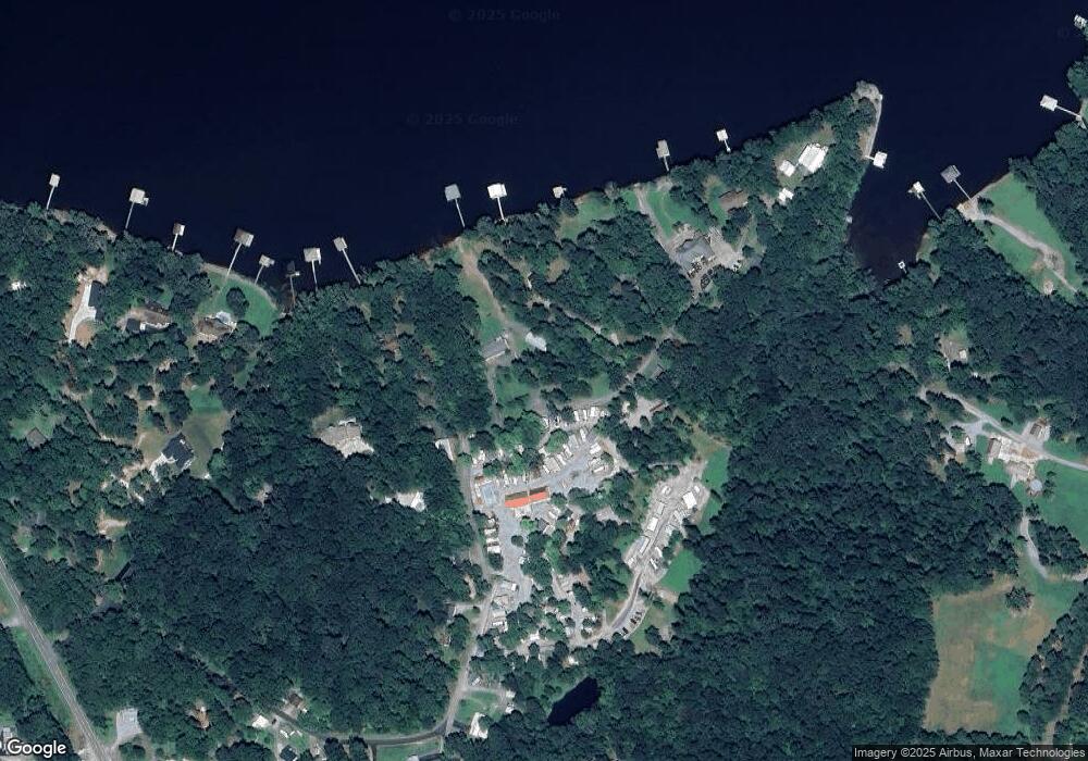
Map
Nearby Homes
- 114 Colson Rd
- Lot #23 Pine View Dr
- Lot #24 Pine View Dr
- Lot #28 Amber Cole Ct
- Lot #38 Shelby Dr
- Lot #41 Pine View Dr
- Lot #39 Shelby Dr
- 9721 US Hwy 68 E
- Lot #43 Pine View Dr
- Lot #14 Pine View Dr
- Lot #46 Doe Valley Dr
- Lot #45 Doe Valley Dr
- Lot #13 Pine View Dr
- 15 Harborview
- Lot #44 Doe Valley Dr
- Lot #48 Doe Valley Dr
- Lot #53 Doe Valley Dr
- Lot #12 Pine View Dr
- Lot #51 Doe Valley Dr
- Lot #52 Doe Valley Dr
- 471 Jonathan Point Rd
- 405 Jonathan Point Rd
- 11180 Us Highway 68 E
- 11180 Us Hwy 68 E
- 46 Baker Rd
- 60 Baker Rd
- 84 Baker Rd
- 45 Baker Rd
- 67 Baker Rd
- 10853 Us Highway 68 E
- 10855 Us Highway 68 E
- 10859 Us Highway 68 E
- 98 Colson Rd
- 10851 Us Highway 68 E
- 44 Lovett Ln
- 55 Cross Rd
- 97 Lovett Ln
- 20 Lovett Ln
- 61 Lovett Ln
- 000 Craig Rd
Your Personal Tour Guide
Ask me questions while you tour the home.