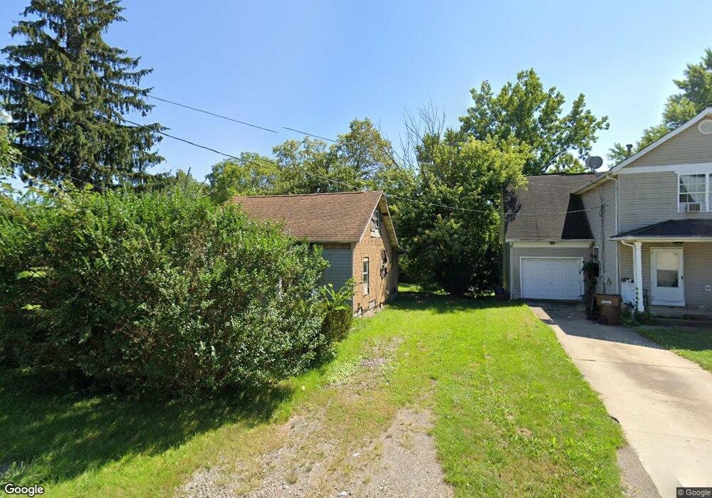
477 King St Mansfield, OH 44903
Estimated Value: $59,000 - $79,000
4
Beds
1
Bath
969
Sq Ft
$68/Sq Ft
Est. Value
About This Home
This home is located at 477 King St, Mansfield, OH 44903 and is currently estimated at $66,105, approximately $68 per square foot. 477 King St is a home located in Richland County with nearby schools including Foundation Academy, Mansfield Elective Academy, and Interactive Media & Construction (IMAC) Academy.
Ownership History
Date
Name
Owned For
Owner Type
Purchase Details
Closed on
Feb 6, 2024
Sold by
Williamson James
Bought by
Williamson James A
Current Estimated Value
Purchase Details
Closed on
Apr 11, 2011
Sold by
Rice Robert A and Rice Marcia I
Bought by
Williamson James and Williamson Francis
Purchase Details
Closed on
Jan 29, 2008
Sold by
Rice Robert A and Rice Marcia I
Bought by
Rice Robert A and Rice Marcia L
Purchase Details
Closed on
Apr 17, 2007
Sold by
Messner Michael S
Bought by
Messner Michael S
Create a Home Valuation Report for This Property
The Home Valuation Report is an in-depth analysis detailing your home's value as well as a comparison with similar homes in the area
Home Values in the Area
Average Home Value in this Area
Purchase History
| Date | Buyer | Sale Price | Title Company |
|---|---|---|---|
| Williamson James A | -- | None Listed On Document | |
| Williamson James A | -- | None Listed On Document | |
| Williamson James | -- | None Available | |
| Rice Robert A | -- | None Available | |
| Messner Michael S | $4,000 | None Available |
Source: Public Records
Tax History Compared to Growth
Tax History
| Year | Tax Paid | Tax Assessment Tax Assessment Total Assessment is a certain percentage of the fair market value that is determined by local assessors to be the total taxable value of land and additions on the property. | Land | Improvement |
|---|---|---|---|---|
| 2024 | $8 | $9,960 | $1,750 | $8,210 |
| 2023 | $8 | $9,960 | $1,750 | $8,210 |
| 2022 | $430 | $5,900 | $1,590 | $4,310 |
| 2021 | $430 | $5,900 | $1,590 | $4,310 |
| 2020 | $430 | $5,900 | $1,590 | $4,310 |
| 2019 | $430 | $5,900 | $1,590 | $4,310 |
| 2018 | $205 | $5,900 | $1,590 | $4,310 |
| 2017 | $430 | $5,900 | $1,590 | $4,310 |
| 2016 | $430 | $6,660 | $2,520 | $4,140 |
| 2015 | $430 | $6,660 | $2,520 | $4,140 |
| 2014 | $405 | $6,660 | $2,520 | $4,140 |
| 2012 | $326 | $7,000 | $2,650 | $4,350 |
Source: Public Records
Map
Nearby Homes
- 512 Burns St
- 0 Highway 30
- 426 Mcpherson St
- 0 State Route 314 Unit 9069650
- 0 State Route 314 Unit 9067316
- 0 State Route 314 Unit 225021979
- 283 Bulkley Ave
- 0 Voegele Ave Unit Lot 6048, 6049, 6
- 526 Bowman St
- 371 Bell St
- 743 Bowman St
- 269 Parkway Dr
- 362-364 W 6th St
- 237 Helen Ave
- 156 Buckingham Ave Unit 158
- 212 Penn Ave
- 185 Rowland Ave
- 674 Averill Ave
- 118 Raymond Ave
- 641 Averill Ave