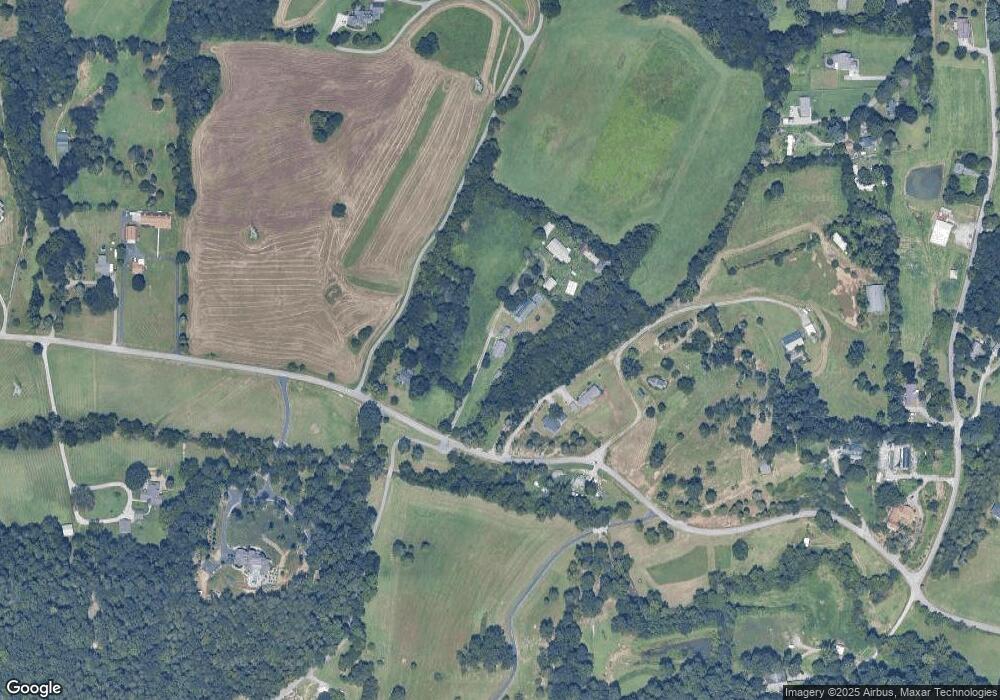
477 Roddy Branch Rd Rockford, TN 37853
Estimated Value: $284,000 - $310,000
--
Bed
2
Baths
1,372
Sq Ft
$215/Sq Ft
Est. Value
About This Home
This home is located at 477 Roddy Branch Rd, Rockford, TN 37853 and is currently estimated at $294,999, approximately $215 per square foot. 477 Roddy Branch Rd is a home located in Blount County with nearby schools including Rockford Elementary School and Eagleton College and Career Academy.
Ownership History
Date
Name
Owned For
Owner Type
Purchase Details
Closed on
Nov 6, 2007
Sold by
Dotson Cecil E and Dotson Geneva
Bought by
Malabey Gary
Current Estimated Value
Home Financials for this Owner
Home Financials are based on the most recent Mortgage that was taken out on this home.
Original Mortgage
$107,950
Outstanding Balance
$68,089
Interest Rate
6.32%
Estimated Equity
$226,910
Purchase Details
Closed on
Oct 16, 2007
Sold by
Dotson Cecil E and Dotson Geneva
Bought by
Dustin Mark A
Home Financials for this Owner
Home Financials are based on the most recent Mortgage that was taken out on this home.
Original Mortgage
$107,950
Outstanding Balance
$68,089
Interest Rate
6.32%
Estimated Equity
$226,910
Purchase Details
Closed on
Dec 5, 1973
Bought by
Dotson Cecil E and Dotson Geneva
Create a Home Valuation Report for This Property
The Home Valuation Report is an in-depth analysis detailing your home's value as well as a comparison with similar homes in the area
Home Values in the Area
Average Home Value in this Area
Purchase History
| Date | Buyer | Sale Price | Title Company |
|---|---|---|---|
| Malabey Gary | $127,000 | -- | |
| Dustin Mark A | $104,000 | -- | |
| Dotson Cecil E | -- | -- |
Source: Public Records
Mortgage History
| Date | Status | Borrower | Loan Amount |
|---|---|---|---|
| Open | Dotson Cecil E | $107,950 | |
| Closed | Dotson Cecil E | $104,000 |
Source: Public Records
Tax History Compared to Growth
Tax History
| Year | Tax Paid | Tax Assessment Tax Assessment Total Assessment is a certain percentage of the fair market value that is determined by local assessors to be the total taxable value of land and additions on the property. | Land | Improvement |
|---|---|---|---|---|
| 2024 | $900 | $56,575 | $8,925 | $47,650 |
| 2023 | $900 | $56,575 | $8,925 | $47,650 |
| 2022 | $795 | $32,175 | $5,150 | $27,025 |
| 2021 | $795 | $32,175 | $5,150 | $27,025 |
| 2020 | $795 | $32,175 | $5,150 | $27,025 |
| 2019 | $795 | $32,175 | $5,150 | $27,025 |
| 2018 | $768 | $31,075 | $5,075 | $26,000 |
| 2017 | $768 | $31,075 | $5,075 | $26,000 |
| 2016 | $768 | $31,075 | $5,075 | $26,000 |
| 2015 | $668 | $31,075 | $5,075 | $26,000 |
| 2014 | $686 | $31,075 | $5,075 | $26,000 |
| 2013 | $686 | $31,925 | $0 | $0 |
Source: Public Records
Map
Nearby Homes
- 334 Roddy Branch Rd
- 2819 Stock Creek Rd
- 673 Self Hollow Rd
- 0 French Creek Dr
- 4719 Old Knoxville Hwy
- 4717 Old Knoxville Hwy
- 107 Farmer Rd
- 5649 Belle Maison Ln
- 0 Stock Creek Rd
- 5606 Belle Maison Ln
- 103 Rockford Heights Rd
- 3809 S View Cir
- 3901 S Lake Blvd
- 4220 Reed Rd
- 4078 Glenmore Dr
- 3250 Indian Summer Ln Unit LOT 38
- 4089 Glenmore Dr
- 7162 Gentle Rain Rd Unit LOT 131
- 7162 Gentle Rain Rd
- 3238 Indian Summer Ln Unit LOT 40
- 473 Roddy Branch Rd
- 507 Roddy Branch Rd
- 475 Roddy Branch Rd
- 463 Roddy Branch Rd
- 518 Roddy Branch Rd
- 0 Roddy Branch Rd Unit 926768
- 0 Roddy Branch Rd Unit 957157
- 0 Roddy Branch Rd Unit 1014688
- 0 Roddy Branch Rd Unit 1014682
- 0 Roddy Branch Rd Unit 1037760
- 0 Roddy Branch Rd Unit 1037759
- 0 Roddy Branch Rd Unit 1037758
- 0 Roddy Branch Rd Unit 1040783
- 0 Roddy Branch Rd Unit 1079120
- 0 Roddy Branch Rd Unit 1079119
- 0 Roddy Branch Rd Unit 1037761
- 0 Roddy Branch Rd Unit 1014687
- 0 Roddy Branch Rd Unit LOT 1
- 0 Roddy Branch Rd Lot 4 Unit 1079123
- 525 Roddy Branch Rd
