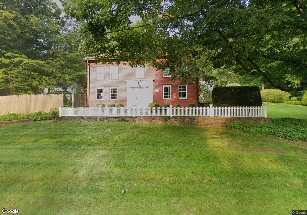
477 Simsbury Rd Bloomfield, CT 06002
Estimated Value: $452,000 - $548,000
4
Beds
3
Baths
2,540
Sq Ft
$203/Sq Ft
Est. Value
About This Home
This home is located at 477 Simsbury Rd, Bloomfield, CT 06002 and is currently estimated at $516,851, approximately $203 per square foot. 477 Simsbury Rd is a home located in Hartford County with nearby schools including Laurel School, Carmen Arace Intermediate School, and Metacomet School.
Create a Home Valuation Report for This Property
The Home Valuation Report is an in-depth analysis detailing your home's value as well as a comparison with similar homes in the area
Home Values in the Area
Average Home Value in this Area
Tax History Compared to Growth
Tax History
| Year | Tax Paid | Tax Assessment Tax Assessment Total Assessment is a certain percentage of the fair market value that is determined by local assessors to be the total taxable value of land and additions on the property. | Land | Improvement |
|---|---|---|---|---|
| 2025 | $12,230 | $326,130 | $65,310 | $260,820 |
| 2024 | $8,318 | $211,970 | $57,200 | $154,770 |
| 2023 | $8,167 | $211,970 | $57,200 | $154,770 |
| 2022 | $7,637 | $211,970 | $57,200 | $154,770 |
| 2021 | $7,807 | $211,970 | $57,200 | $154,770 |
| 2020 | $7,686 | $211,970 | $57,200 | $154,770 |
| 2019 | $8,143 | $210,640 | $57,200 | $153,440 |
| 2018 | $7,661 | $198,380 | $63,630 | $134,750 |
| 2017 | $7,650 | $198,380 | $63,630 | $134,750 |
| 2016 | $7,469 | $198,380 | $63,630 | $134,750 |
| 2015 | $7,330 | $198,380 | $63,630 | $134,750 |
| 2014 | $7,796 | $218,120 | $63,700 | $154,420 |
Source: Public Records
Map
Nearby Homes
- 23 Loeffler Rd
- 35 Saddle Ridge Unit 35
- 24 Alice Dr Unit 24
- 2 Pent Rd
- 9 Mallard Dr
- 545 Simsbury Rd
- 6 Wild Rose Ct Unit 6
- 76 Silo Way Unit 76
- 30 Biltmore Park Unit 30
- 34 Cary Ln Unit 34
- 2 Chambord Park
- 86 Gabb Rd
- 18 Nolan Dr
- 40 Mountain Ave
- 8 Roberts Rd
- 1 Cedar Close
- 365 Simsbury Rd
- 25 Lakeview Dr
- 10 Butternut Dr
- 17 Cranbrook