477 Worthington Rd Eagle Point, OR 97524
Estimated Value: $934,000 - $1,555,000
12
Beds
13
Baths
7,370
Sq Ft
$163/Sq Ft
Est. Value
About This Home
This home is located at 477 Worthington Rd, Eagle Point, OR 97524 and is currently estimated at $1,200,577, approximately $162 per square foot. 477 Worthington Rd is a home located in Jackson County with nearby schools including Eagle Rock Elementary School, Eagle Point Middle School, and White Mountain Middle School.
Ownership History
Date
Name
Owned For
Owner Type
Purchase Details
Closed on
Dec 31, 2018
Sold by
Rossi Mark
Bought by
Angell Gary W
Current Estimated Value
Home Financials for this Owner
Home Financials are based on the most recent Mortgage that was taken out on this home.
Original Mortgage
$275,000
Interest Rate
4.9%
Mortgage Type
Commercial
Purchase Details
Closed on
Apr 20, 2017
Sold by
Rossi Richard E
Bought by
Rossi Mark
Home Financials for this Owner
Home Financials are based on the most recent Mortgage that was taken out on this home.
Original Mortgage
$128,333
Interest Rate
4.23%
Mortgage Type
New Conventional
Purchase Details
Closed on
Dec 30, 2002
Sold by
Reger Beth
Bought by
6348 Crater Lake Hwy Llc
Create a Home Valuation Report for This Property
The Home Valuation Report is an in-depth analysis detailing your home's value as well as a comparison with similar homes in the area
Purchase History
| Date | Buyer | Sale Price | Title Company |
|---|---|---|---|
| Angell Gary W | $566,500 | Amerititle | |
| Rossi Mark | -- | None Available | |
| 6348 Crater Lake Hwy Llc | -- | -- |
Source: Public Records
Mortgage History
| Date | Status | Borrower | Loan Amount |
|---|---|---|---|
| Closed | Angell Gary W | $275,000 | |
| Previous Owner | Rossi Mark | $128,333 |
Source: Public Records
Tax History
| Year | Tax Paid | Tax Assessment Tax Assessment Total Assessment is a certain percentage of the fair market value that is determined by local assessors to be the total taxable value of land and additions on the property. | Land | Improvement |
|---|---|---|---|---|
| 2026 | $5,968 | $498,161 | -- | -- |
| 2024 | $5,849 | $498,994 | $33,874 | $465,120 |
| 2022 | $5,480 | $484,577 | $33,007 | $451,570 |
| 2021 | $5,525 | $486,686 | $32,166 | $454,520 |
| 2020 | $5,534 | $431,578 | $31,868 | $399,710 |
| 2019 | $5,450 | $411,372 | $29,772 | $381,600 |
| 2018 | $6,748 | $492,283 | $28,703 | $463,580 |
| 2017 | $6,484 | $492,283 | $28,703 | $463,580 |
| 2016 | $6,203 | $469,201 | $27,301 | $441,900 |
| 2015 | $5,924 | $431,711 | $26,461 | $405,250 |
| 2014 | $5,427 | $409,895 | $24,785 | $385,110 |
Source: Public Records
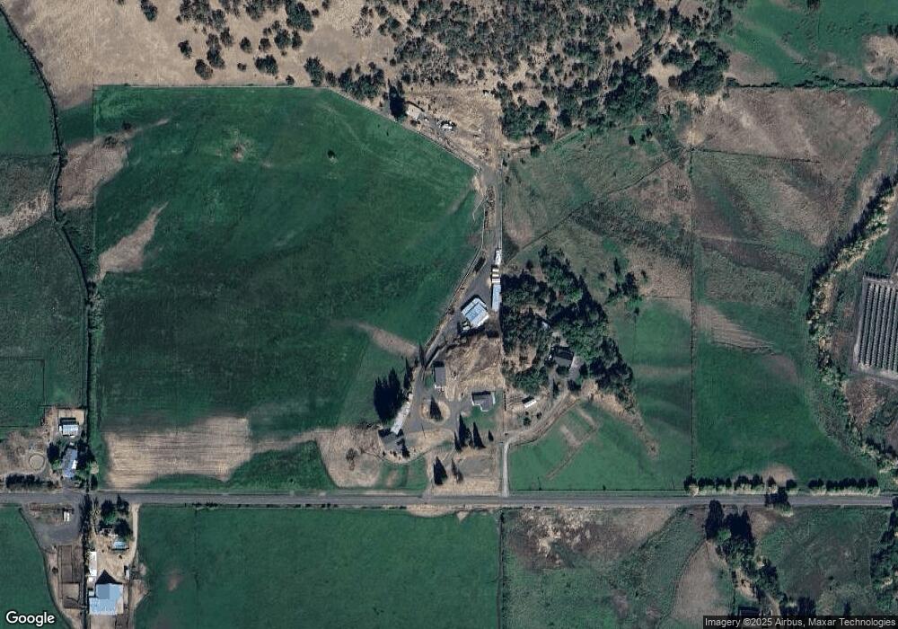
Map
Nearby Homes
- 1881 Brophy Rd
- 2795 Ball Rd
- 1918 Stevens Rd
- 417 Crystal Dr
- 633 E Archwood Dr Unit 46
- 633 E Archwood Dr Unit 89
- 633 E Archwood Dr Unit 60
- 633 E Archwood Dr Unit 44
- 633 E Archwood Dr Unit 12
- 633 E Archwood Dr Unit 70
- 633 E Archwood Dr Unit 53
- 633 E Archwood Dr Unit 130
- 633 E Archwood Dr Unit 125
- 633 E Archwood Dr Unit 59
- 21 Cerulean Terrace
- 277 Cambridge Terrace
- 218 Cambridge Terrace
- 1151 Arrowhead Trail
- 0 Riley Rd Unit 220209029
- 438 Westminster Dr
- 597 Worthington Rd
- 255 Worthington Rd
- 280 Worthington Rd
- 688 Worthington Rd
- 177 Worthington Rd
- 899 Worthington Rd
- 77 Worthington Rd
- 950 Worthington Rd
- 3535 Brophy Rd
- 3445 Brophy Rd
- 1041 Worthington Rd
- 3415 Brophy Rd
- 3385 Brophy Rd
- 3380 Brophy Rd
- 3370 Brophy Rd
- 3205 Brophy Rd
- 3240 Brophy Rd
- 3155 Brophy Rd
- 1277 Worthington Rd
- 1295 Worthington Rd
Your Personal Tour Guide
Ask me questions while you tour the home.