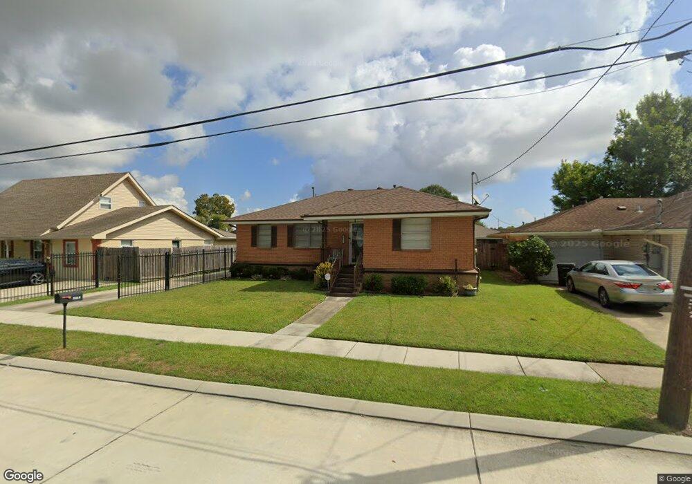
4777 Sherwood Dr New Orleans, LA 70128
Read Boulevard East NeighborhoodEstimated Value: $134,473 - $211,000
2
Beds
2
Baths
1,490
Sq Ft
$125/Sq Ft
Est. Value
About This Home
This home is located at 4777 Sherwood Dr, New Orleans, LA 70128 and is currently estimated at $185,618, approximately $124 per square foot. 4777 Sherwood Dr is a home located in Orleans Parish with nearby schools including Einstein Charter at Sherwood Forest, Fannie C. Williams Charter School, and Einstein Charter School - Village De L'est Elementary.
Ownership History
Date
Name
Owned For
Owner Type
Purchase Details
Closed on
Oct 23, 2008
Sold by
Glenn Kevin L
Bought by
Glenn Marilyn Frank
Current Estimated Value
Home Financials for this Owner
Home Financials are based on the most recent Mortgage that was taken out on this home.
Original Mortgage
$95,136
Outstanding Balance
$61,413
Interest Rate
5.83%
Estimated Equity
$124,205
Create a Home Valuation Report for This Property
The Home Valuation Report is an in-depth analysis detailing your home's value as well as a comparison with similar homes in the area
Home Values in the Area
Average Home Value in this Area
Purchase History
| Date | Buyer | Sale Price | Title Company |
|---|---|---|---|
| Glenn Marilyn Frank | $3,500 | -- |
Source: Public Records
Mortgage History
| Date | Status | Borrower | Loan Amount |
|---|---|---|---|
| Open | Glenn Marilyn Frank | $95,136 |
Source: Public Records
Tax History Compared to Growth
Tax History
| Year | Tax Paid | Tax Assessment Tax Assessment Total Assessment is a certain percentage of the fair market value that is determined by local assessors to be the total taxable value of land and additions on the property. | Land | Improvement |
|---|---|---|---|---|
| 2025 | $1,017 | $14,550 | $2,140 | $12,410 |
| 2024 | $1,031 | $14,550 | $2,140 | $12,410 |
| 2023 | $498 | $10,840 | $1,070 | $9,770 |
| 2022 | $498 | $10,350 | $1,070 | $9,280 |
| 2021 | $578 | $10,840 | $1,070 | $9,770 |
| 2020 | $583 | $10,840 | $1,070 | $9,770 |
| 2019 | $602 | $10,840 | $1,070 | $9,770 |
| 2018 | $612 | $10,840 | $1,070 | $9,770 |
| 2017 | $570 | $10,840 | $1,070 | $9,770 |
| 2016 | $585 | $10,840 | $1,070 | $9,770 |
| 2015 | $753 | $12,040 | $1,070 | $10,970 |
| 2014 | -- | $12,040 | $1,070 | $10,970 |
| 2013 | -- | $12,040 | $1,070 | $10,970 |
Source: Public Records
Map
Nearby Homes
- 11611 N Adams Ct
- 4901 Friar Tuck Dr
- 4920 Robin Hood Dr
- 4928 Robin Hood Dr
- 57002 Chef Menteur Hwy
- 11358 Will Stutley Dr
- 11839 Chef Menteur Hwy
- 11327 Will Stutley Dr
- 4624 Wright Rd
- 4819 Nighthart St
- 4921 Nighthart St
- 11033 Chef Menteur Hwy
- 4826 Bright Dr
- 11268 Notaway Ln
- 11303 Midpoint Dr
- 5042 W Saint Andrews Cir
- 5083 W St Andrews Cir
- 4769 Sherwood Dr
- 4783 Sherwood Dr
- 4770 Major Dr
- 4780 Major Dr
- 4761 Sherwood Dr
- 4801 Sherwood Dr
- 4758 Sherwood Dr
- 4760 Major Dr
- 4764 Sherwood Dr
- 4752 Sherwood Dr
- 4800 Major Dr
- 4751 Sherwood Dr
- 4800 Sherwood Dr
- 4750 Major Dr
- 4811 Sherwood Dr
- 4746 Sherwood Dr
- 4771 Major Dr
- 4761 Major Dr
- 4801 Major Dr
- 4810 Major Dr