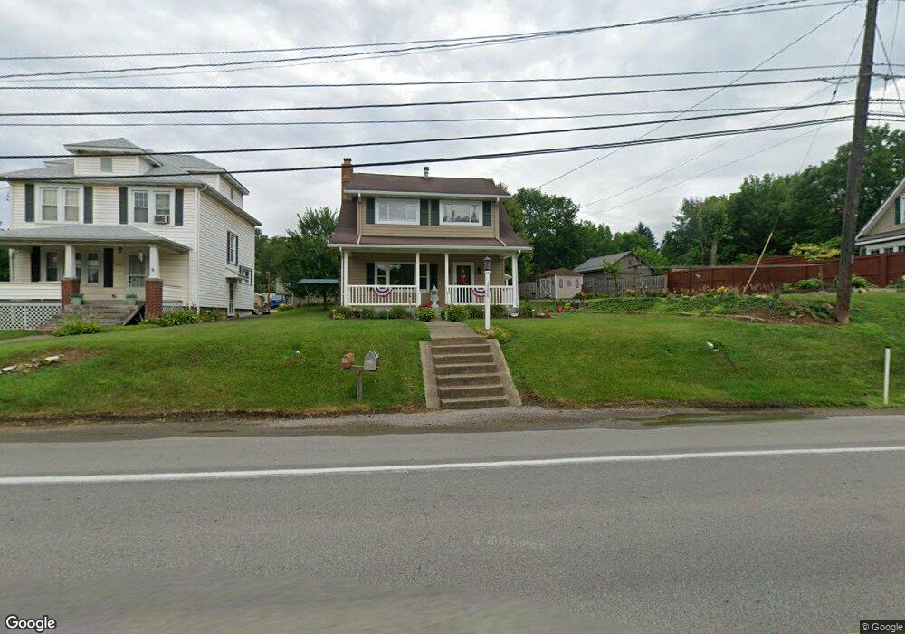
4778 State Route 66 Apollo, PA 15613
Washington Township NeighborhoodEstimated Value: $98,331 - $156,000
--
Bed
--
Bath
--
Sq Ft
8,494
Sq Ft Lot
About This Home
This home is located at 4778 State Route 66, Apollo, PA 15613 and is currently estimated at $133,833. 4778 State Route 66 is a home located in Westmoreland County with nearby schools including Kiski Area High School and Orchard Hills Christian Academy.
Ownership History
Date
Name
Owned For
Owner Type
Purchase Details
Closed on
Jul 20, 2015
Sold by
Vranka Peter A and Smith Cindy L
Bought by
Vranka Peter A and Vranka Cindy L
Current Estimated Value
Purchase Details
Closed on
Jul 13, 2007
Sold by
Vranka Peter A
Bought by
Vranka Peter A and Smith Cindy L
Create a Home Valuation Report for This Property
The Home Valuation Report is an in-depth analysis detailing your home's value as well as a comparison with similar homes in the area
Home Values in the Area
Average Home Value in this Area
Purchase History
| Date | Buyer | Sale Price | Title Company |
|---|---|---|---|
| Vranka Peter A | -- | None Available | |
| Vranka Peter A | -- | None Available |
Source: Public Records
Tax History Compared to Growth
Tax History
| Year | Tax Paid | Tax Assessment Tax Assessment Total Assessment is a certain percentage of the fair market value that is determined by local assessors to be the total taxable value of land and additions on the property. | Land | Improvement |
|---|---|---|---|---|
| 2025 | $1,926 | $12,910 | $1,130 | $11,780 |
| 2024 | $1,826 | $12,910 | $1,130 | $11,780 |
| 2023 | $1,666 | $12,910 | $1,130 | $11,780 |
| 2022 | $1,615 | $12,910 | $1,130 | $11,780 |
| 2021 | $1,615 | $12,910 | $1,130 | $11,780 |
| 2020 | $1,611 | $12,910 | $1,130 | $11,780 |
| 2019 | $1,591 | $12,910 | $1,130 | $11,780 |
| 2018 | $1,565 | $12,910 | $1,130 | $11,780 |
| 2017 | $1,527 | $12,910 | $1,130 | $11,780 |
| 2016 | $1,503 | $12,910 | $1,130 | $11,780 |
| 2015 | $1,503 | $12,910 | $1,130 | $11,780 |
| 2014 | $1,495 | $12,910 | $1,130 | $11,780 |
Source: Public Records
Map
Nearby Homes
- 4792 State Route 66
- 115 Acadia Ln
- 223 Old Mill Rd
- 211 Old Mill Rd
- 262 Vista Dr
- 1316 Hancock Ave
- 716 Pennsylvania 356
- 314 S 5th St
- 501 State Route 356
- 519 Dogwood Ct
- 404 N Pennsylvania Ave
- 625 Rose St Unit 276
- 311 & 313 N 2nd St
- 322 N 4th St
- 217 Karen Dr
- 411a N Pennsylvania Ave
- 212 Terrace Ave
- 150 Watson Rd
- 715 1/2 Armstrong Ave Unit 1/2
- 620 Cedar Ridge Dr
- 4776 State Route 66
- 4782 State Route 66
- 4774 State Route 66
- 117 Beatty St
- 105 Beatty St
- 113 Beatty St
- 4784 State Route 66
- 125 Beatty St
- 102 Beatty St
- 4779 State Route 66
- 109 Beatty St
- 4771 State Route 66
- 4788 State Route 66
- 4783 State Route 66
- 4785 State Route 66
- 129 Beatty St
- 4789 State Route 66
- 299 Old Mill Rd
- 133 Beatty St
- 133 Beatty St