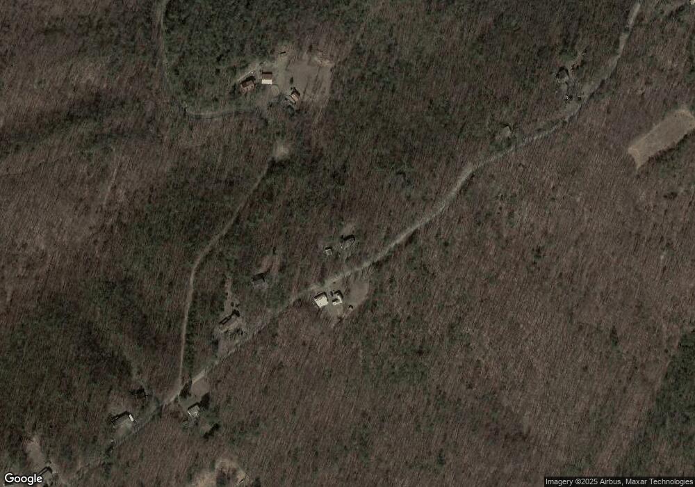
478 Hilltop Rd Millerstown, PA 17062
Estimated Value: $244,166 - $330,000
--
Bed
--
Bath
1,440
Sq Ft
$207/Sq Ft
Est. Value
About This Home
This home is located at 478 Hilltop Rd, Millerstown, PA 17062 and is currently estimated at $298,292, approximately $207 per square foot. 478 Hilltop Rd is a home with nearby schools including Greenwood Elementary School, Greenwood Middle School, and Greenwood High School.
Ownership History
Date
Name
Owned For
Owner Type
Purchase Details
Closed on
Aug 14, 2007
Sold by
Smith Roger G and Smith Mary G
Bought by
Rutt Galen L and Rutt Joan E
Current Estimated Value
Home Financials for this Owner
Home Financials are based on the most recent Mortgage that was taken out on this home.
Original Mortgage
$145,000
Outstanding Balance
$91,854
Interest Rate
6.67%
Mortgage Type
Unknown
Estimated Equity
$206,438
Create a Home Valuation Report for This Property
The Home Valuation Report is an in-depth analysis detailing your home's value as well as a comparison with similar homes in the area
Home Values in the Area
Average Home Value in this Area
Purchase History
| Date | Buyer | Sale Price | Title Company |
|---|---|---|---|
| Rutt Galen L | $181,000 | None Available |
Source: Public Records
Mortgage History
| Date | Status | Borrower | Loan Amount |
|---|---|---|---|
| Open | Rutt Galen L | $145,000 |
Source: Public Records
Tax History Compared to Growth
Tax History
| Year | Tax Paid | Tax Assessment Tax Assessment Total Assessment is a certain percentage of the fair market value that is determined by local assessors to be the total taxable value of land and additions on the property. | Land | Improvement |
|---|---|---|---|---|
| 2025 | $3,488 | $161,900 | $60,100 | $101,800 |
| 2024 | $3,399 | $161,900 | $60,100 | $101,800 |
| 2023 | $3,350 | $161,900 | $60,100 | $101,800 |
| 2022 | $3,245 | $161,900 | $60,100 | $101,800 |
| 2021 | $3,208 | $161,900 | $60,100 | $101,800 |
| 2020 | $2,961 | $161,900 | $60,100 | $101,800 |
| 2019 | $2,940 | $161,900 | $60,100 | $101,800 |
| 2018 | $2,940 | $161,900 | $60,100 | $101,800 |
| 2017 | $2,940 | $161,900 | $60,100 | $101,800 |
| 2016 | -- | $161,900 | $60,100 | $101,800 |
| 2015 | -- | $161,900 | $60,100 | $101,800 |
| 2014 | $2,500 | $161,900 | $60,100 | $101,800 |
Source: Public Records
Map
Nearby Homes
- 1330 Buckwheat Rd
- 1070 George Brown Rd
- 12270 Buffalo Trace
- 4118 Buckwheat Rd
- 8052 Middle Ridge Rd
- 5600 Middle Ridge Rd
- 15784 Route 333
- 4020 Mannsville Rd
- 2901 Erly Rd
- 0 Spriggle Hollow Rd
- 10390 Raccoon Valley Rd
- 0 Gough Ln
- 1929 Dunkleberger Rd
- 1640 Dunkleberger Rd
- 66 Brookview Dr
- 0 Boots Hollow Rd
- 53 Log House Ln
- 0 Veterans Way Unit PAPY2008088
- 320 Locust Run Rd
- 107 Peach Ridge Rd
- 521 Hilltop Rd
- 15 Hilltop Dr
- 550 Hilltop Rd
- 622 Hilltop Rd
- 247 Hemlock Hill
- 247 Hemlock Hill
- 671 Hilltop Rd
- 324 Hilltop Rd
- 250 Hilltop Rd
- 272 Rabbit Slide Ln
- 718 Hilltop Rd
- 878 Dever Hollow Rd
- 898 Dever Hollow Rd
- 906 Dever Hollow Rd
- 714 Dever Hollow Rd
- 776 Dever Hollow Rd
- 788 Hilltop Rd
- 958 Dever Hollow Rd
- 367 Rabbit Slide Ln
- 923 Dever Hollow Rd
