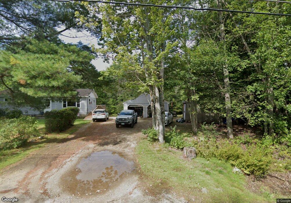
478 Hodsdon Rd Pownal, ME 04069
Estimated Value: $327,346 - $457,000
--
Bed
--
Bath
960
Sq Ft
$430/Sq Ft
Est. Value
About This Home
This home is located at 478 Hodsdon Rd, Pownal, ME 04069 and is currently estimated at $412,337, approximately $429 per square foot. 478 Hodsdon Rd is a home with nearby schools including Freeport High School and Maine Coast Waldorf School.
Create a Home Valuation Report for This Property
The Home Valuation Report is an in-depth analysis detailing your home's value as well as a comparison with similar homes in the area
Home Values in the Area
Average Home Value in this Area
Tax History Compared to Growth
Tax History
| Year | Tax Paid | Tax Assessment Tax Assessment Total Assessment is a certain percentage of the fair market value that is determined by local assessors to be the total taxable value of land and additions on the property. | Land | Improvement |
|---|---|---|---|---|
| 2024 | $3,133 | $184,300 | $62,100 | $122,200 |
| 2023 | $2,897 | $153,700 | $51,800 | $101,900 |
| 2022 | $2,767 | $153,700 | $51,800 | $101,900 |
| 2021 | $2,767 | $153,700 | $51,800 | $101,900 |
| 2020 | $2,767 | $153,700 | $51,800 | $101,900 |
| 2019 | $2,813 | $153,700 | $51,800 | $101,900 |
| 2018 | $850 | $153,700 | $51,800 | $101,900 |
| 2017 | $2,651 | $153,700 | $51,800 | $101,900 |
| 2016 | $2,536 | $153,700 | $51,800 | $101,900 |
| 2015 | $2,724 | $80,700 | $18,600 | $62,100 |
| 2014 | $2,784 | $80,700 | $18,600 | $62,100 |
| 2013 | $2,804 | $80,700 | $18,600 | $62,100 |
Source: Public Records
Map
Nearby Homes