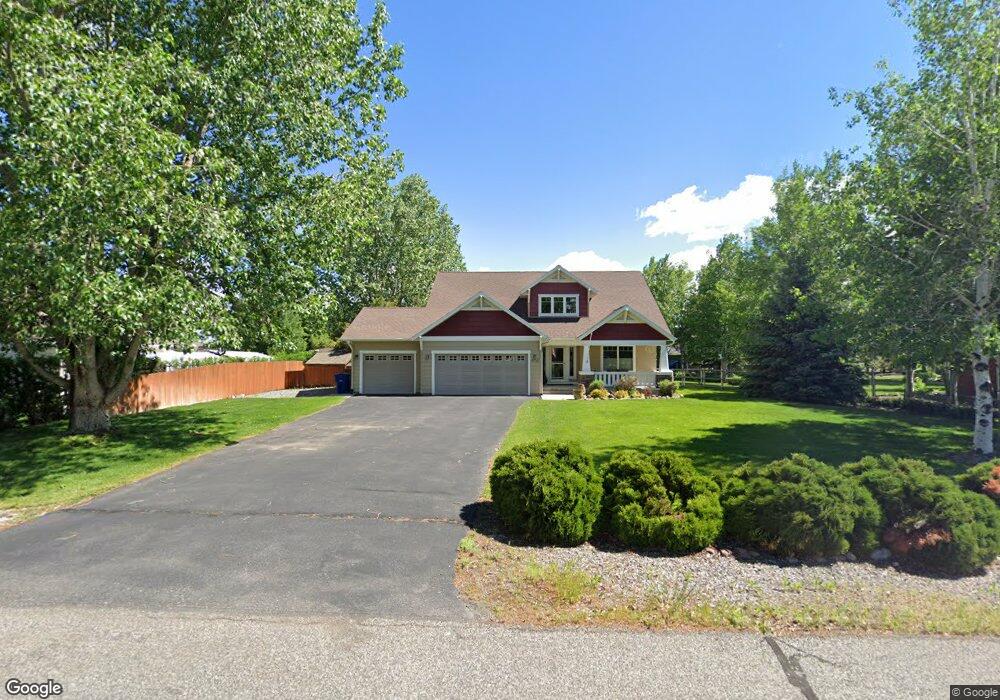
478 Lewis And Clark Trail Bozeman, MT 59718
Estimated Value: $747,608 - $861,000
3
Beds
3
Baths
2,240
Sq Ft
$363/Sq Ft
Est. Value
About This Home
This home is located at 478 Lewis And Clark Trail, Bozeman, MT 59718 and is currently estimated at $813,203, approximately $363 per square foot. 478 Lewis And Clark Trail is a home located in Gallatin County with nearby schools including Heck/Quaw Elementary School and Belgrade High School.
Ownership History
Date
Name
Owned For
Owner Type
Purchase Details
Closed on
Nov 12, 2010
Sold by
Propp Thomas A and Millard Cindy K
Bought by
Brown Douglas C and Brown Marianne
Current Estimated Value
Home Financials for this Owner
Home Financials are based on the most recent Mortgage that was taken out on this home.
Original Mortgage
$236,000
Outstanding Balance
$155,392
Interest Rate
4.23%
Mortgage Type
New Conventional
Estimated Equity
$657,811
Purchase Details
Closed on
Jun 4, 2009
Sold by
Gunlikson James R and Gunlikson Laurie J
Bought by
Propp Thomas A and Millard Cindy K
Home Financials for this Owner
Home Financials are based on the most recent Mortgage that was taken out on this home.
Original Mortgage
$230,000
Interest Rate
4.78%
Mortgage Type
Purchase Money Mortgage
Create a Home Valuation Report for This Property
The Home Valuation Report is an in-depth analysis detailing your home's value as well as a comparison with similar homes in the area
Home Values in the Area
Average Home Value in this Area
Purchase History
| Date | Buyer | Sale Price | Title Company |
|---|---|---|---|
| Brown Douglas C | -- | Insured Titles | |
| Propp Thomas A | -- | Security Title Company |
Source: Public Records
Mortgage History
| Date | Status | Borrower | Loan Amount |
|---|---|---|---|
| Open | Brown Douglas C | $236,000 | |
| Previous Owner | Propp Thomas A | $230,000 |
Source: Public Records
Tax History Compared to Growth
Tax History
| Year | Tax Paid | Tax Assessment Tax Assessment Total Assessment is a certain percentage of the fair market value that is determined by local assessors to be the total taxable value of land and additions on the property. | Land | Improvement |
|---|---|---|---|---|
| 2025 | $3,327 | $814,100 | $0 | $0 |
| 2024 | $4,590 | $758,500 | $0 | $0 |
| 2023 | $4,575 | $758,500 | $0 | $0 |
| 2022 | $3,379 | $450,900 | $0 | $0 |
| 2021 | $3,579 | $450,900 | $0 | $0 |
| 2020 | $3,343 | $416,800 | $0 | $0 |
| 2019 | $3,404 | $416,800 | $0 | $0 |
| 2018 | $3,013 | $347,900 | $0 | $0 |
| 2017 | $3,106 | $347,900 | $0 | $0 |
| 2016 | $2,854 | $315,600 | $0 | $0 |
| 2015 | $2,660 | $315,600 | $0 | $0 |
| 2014 | $2,591 | $187,355 | $0 | $0 |
Source: Public Records
Map
Nearby Homes
- 11 Liberty Dr
- 9 Liberty Dr
- 6 Liberty Dr
- 13 Liberty Dr
- 5 Liberty Dr
- 126 Pathfinder Trail
- 12 Pathfinder Trail
- 604 Morrison Ave Unit B
- 370 Prospector Trail
- 16 Tailwater Dr
- 339 Mountain Lion Trail
- 283 Valley Grove Dr
- 17 Tailwater Dr
- 19 Tailwater Dr
- 21 Tailwater Dr
- 23 Tailwater Dr
- 174 Valley Grove Dr
- 25 Tailwater Dr
- Lot 10 Riparian Way
- Lot 3 Riparian Way
- 460 Lewis And Clark Trail
- 494 Lewis And Clark Trail
- 288 Explorer Trail
- 446 Lewis And Clark Trail
- 347 Drifter Dr
- 36 Liberty Dr
- 130 Liberty Dr
- 431 Lewis And Clark Trail
- 148 Liberty Dr
- 7 Liberty Dr
- 10 Liberty Dr
- 8 Liberty Dr
- 391 Drifter Dr
- 262 Explorer Trail
- 169 Pathfinder Trail
- 422 Lewis And Clark Trail
- 263 Explorer Trail
- 153 Pathfinder Trail
- 228 Old West Trail
- 166 Liberty Dr