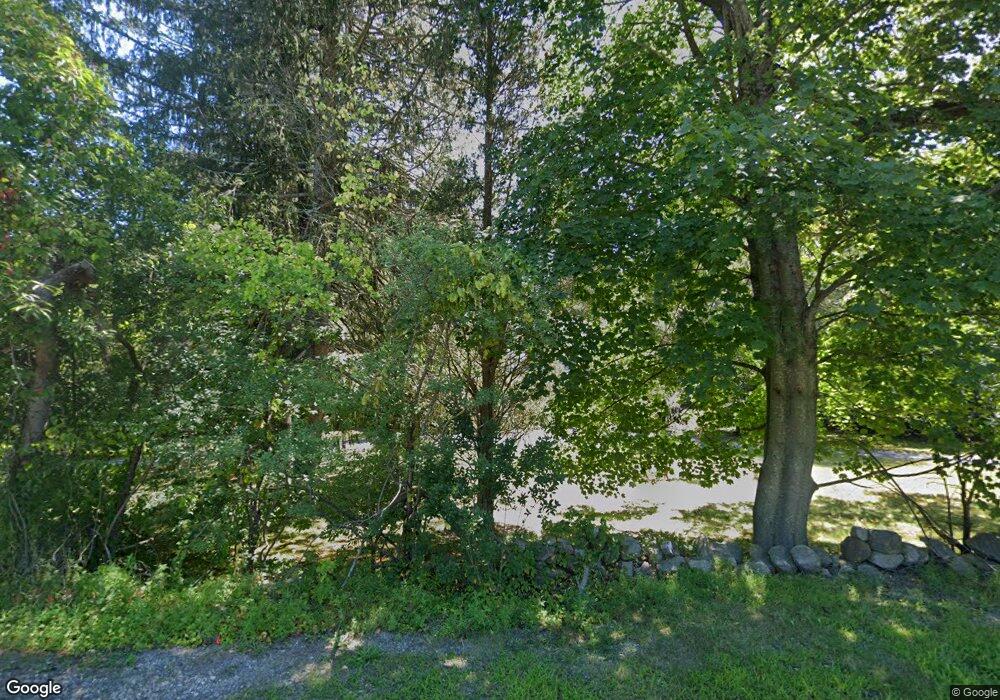
478 Main St Norwell, MA 02061
Estimated Value: $835,000 - $1,204,000
3
Beds
2
Baths
2,092
Sq Ft
$508/Sq Ft
Est. Value
About This Home
This home is located at 478 Main St, Norwell, MA 02061 and is currently estimated at $1,061,947, approximately $507 per square foot. 478 Main St is a home located in Plymouth County with nearby schools including Grace Farrar Cole Elementary School, Norwell Middle School, and Norwell High School.
Create a Home Valuation Report for This Property
The Home Valuation Report is an in-depth analysis detailing your home's value as well as a comparison with similar homes in the area
Home Values in the Area
Average Home Value in this Area
Tax History Compared to Growth
Tax History
| Year | Tax Paid | Tax Assessment Tax Assessment Total Assessment is a certain percentage of the fair market value that is determined by local assessors to be the total taxable value of land and additions on the property. | Land | Improvement |
|---|---|---|---|---|
| 2025 | $11,028 | $843,800 | $469,500 | $374,300 |
| 2024 | $10,554 | $784,100 | $443,000 | $341,100 |
| 2023 | $9,426 | $616,500 | $325,200 | $291,300 |
| 2022 | $9,274 | $558,000 | $299,500 | $258,500 |
| 2021 | $6,755 | $572,400 | $313,900 | $258,500 |
| 2020 | $5,847 | $574,700 | $319,600 | $255,100 |
| 2019 | $9,238 | $563,300 | $308,200 | $255,100 |
| 2018 | $9,025 | $552,300 | $313,900 | $238,400 |
| 2017 | $8,271 | $502,800 | $299,600 | $203,200 |
| 2016 | $8,232 | $498,900 | $299,600 | $199,300 |
| 2015 | $7,796 | $472,500 | $299,600 | $172,900 |
| 2014 | $8,116 | $495,800 | $312,900 | $182,900 |
Source: Public Records
Map
Nearby Homes
- 451 Main St
- 205 Pleasant St
- 479 Clapp Brook Rd
- 179 Lincoln St
- 2 Curtis Farm Rd
- Lot 26 Webster Farm Way
- Lot 4 Webster Farm Way
- Lot 24 Webster Farm Way
- Lot 22 Webster Farm Way
- Lot 1 Webster Farm Way
- 21 Norwell Ave
- 301 Pine St
- 27 Henrys Ln
- 72 Chittenden Ln
- 0 Mt Blue Unit 73374335
- 731 Grove St
- 250 River St
- 260 River St
- 0 Mount Blue St
- 198 Pine St
