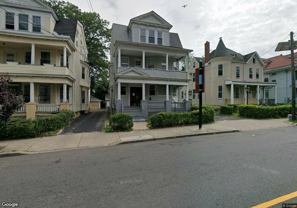
478 Sanford Ave Unit 480 Newark, NJ 07106
Lower Vailsburg NeighborhoodEstimated Value: $507,000 - $705,000
--
Bed
--
Bath
3,152
Sq Ft
$185/Sq Ft
Est. Value
About This Home
This home is located at 478 Sanford Ave Unit 480, Newark, NJ 07106 and is currently estimated at $584,037, approximately $185 per square foot. 478 Sanford Ave Unit 480 is a home located in Essex County with nearby schools including Lincoln Elementary School, Mt. Vernon School, and Hawthorne Avenue Elementary School.
Ownership History
Date
Name
Owned For
Owner Type
Purchase Details
Closed on
May 17, 2024
Sold by
Unified Vailsburg Services and Unified Vailsburg Svc Organiza
Bought by
Parktree Realty Llc
Current Estimated Value
Home Financials for this Owner
Home Financials are based on the most recent Mortgage that was taken out on this home.
Original Mortgage
$509,080
Interest Rate
7.17%
Mortgage Type
Construction
Purchase Details
Closed on
Mar 29, 2004
Sold by
Sacred Heart Roman Catholic Ch
Bought by
Unified Vailsburg Svc Organiza
Create a Home Valuation Report for This Property
The Home Valuation Report is an in-depth analysis detailing your home's value as well as a comparison with similar homes in the area
Home Values in the Area
Average Home Value in this Area
Purchase History
| Date | Buyer | Sale Price | Title Company |
|---|---|---|---|
| Parktree Realty Llc | $492,000 | None Listed On Document | |
| Unified Vailsburg Svc Organiza | $225,000 | -- |
Source: Public Records
Mortgage History
| Date | Status | Borrower | Loan Amount |
|---|---|---|---|
| Closed | Parktree Realty Llc | $509,080 |
Source: Public Records
Tax History Compared to Growth
Tax History
| Year | Tax Paid | Tax Assessment Tax Assessment Total Assessment is a certain percentage of the fair market value that is determined by local assessors to be the total taxable value of land and additions on the property. | Land | Improvement |
|---|---|---|---|---|
| 2025 | $7,087 | $190,100 | $17,600 | $172,500 |
| 2024 | $7,087 | $190,100 | $17,600 | $172,500 |
| 2022 | $7,102 | $190,100 | $17,600 | $172,500 |
| 2021 | $7,098 | $190,100 | $17,600 | $172,500 |
| 2020 | $7,224 | $190,100 | $17,600 | $172,500 |
| 2019 | $7,150 | $190,100 | $17,600 | $172,500 |
| 2018 | $7,020 | $190,100 | $17,600 | $172,500 |
| 2017 | $6,768 | $190,100 | $17,600 | $172,500 |
| 2016 | $6,539 | $190,100 | $17,600 | $172,500 |
| 2015 | $6,290 | $190,100 | $17,600 | $172,500 |
| 2014 | $5,895 | $190,100 | $17,600 | $172,500 |
Source: Public Records
Map
Nearby Homes
- 18 Salem St
- 20 Rockland Terrace Unit 22
- 513 Sanford Ave
- 149 Smith St
- 992 S Orange Ave
- 32 Palm St
- 44 Stuyvesant Ave
- 95 Stuyvesant Ave Unit 2
- 79 Norwood St
- 31 Halstead St
- 552 Norwood St
- 206 Brookdale Ave
- 50 Halstead St
- 20-22 Noll Place
- 54 Brookdale Ave
- 82 Palm St
- 362 Sanford Ave
- 85 Smith St
- 126 Norwood St
- 124-126 Norwood St
- 476 Sanford Ave
- 468 Sand Ford
- 488-490 Sand Ford
- 488 Sand Ford
- 472 Sanford Ave Unit 474
- 468 Sanford Ave Unit 470
- 468-470 Sanford Ave
- 488 Sanford Ave Unit 490
- 481 Sanford Ave
- 199 Smith St Unit 3
- 199 Smith St
- 199 Smith St Unit 2
- 199 Smith St Unit 1
- 492-494 Sanford Ave
- 195 Smith St Unit 197
- 201 Smith St Unit 203
- 492 Sandford Ave 3 Fl Unit 1
- 193 Smith St
- 492 Sanford Ave Unit 494
- 207 Smith St Unit 209