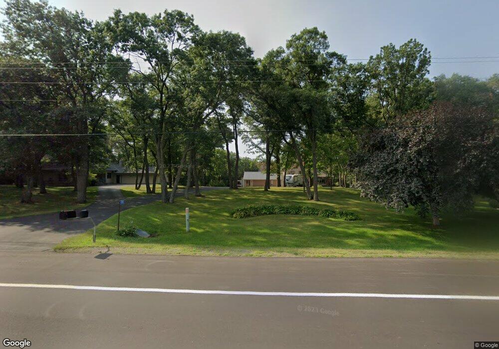
4780 15th St NE Sauk Rapids, MN 56379
Estimated Value: $500,000 - $587,682
3
Beds
2
Baths
2,170
Sq Ft
$248/Sq Ft
Est. Value
About This Home
This home is located at 4780 15th St NE, Sauk Rapids, MN 56379 and is currently estimated at $538,171, approximately $248 per square foot. 4780 15th St NE is a home located in Benton County with nearby schools including Mississippi Heights Elementary School, Sauk Rapids-Rice Middle School, and Sauk Rapids-Rice Senior High School.
Ownership History
Date
Name
Owned For
Owner Type
Purchase Details
Closed on
Aug 15, 2007
Sold by
Sorem Anthony M and Sorem Deborah S
Bought by
Ebnet Mark F and Ebnet Jean E
Current Estimated Value
Home Financials for this Owner
Home Financials are based on the most recent Mortgage that was taken out on this home.
Original Mortgage
$310,000
Outstanding Balance
$196,577
Interest Rate
6.69%
Mortgage Type
New Conventional
Estimated Equity
$341,594
Create a Home Valuation Report for This Property
The Home Valuation Report is an in-depth analysis detailing your home's value as well as a comparison with similar homes in the area
Home Values in the Area
Average Home Value in this Area
Purchase History
| Date | Buyer | Sale Price | Title Company |
|---|---|---|---|
| Ebnet Mark F | $310,000 | -- |
Source: Public Records
Mortgage History
| Date | Status | Borrower | Loan Amount |
|---|---|---|---|
| Open | Ebnet Mark F | $310,000 |
Source: Public Records
Tax History Compared to Growth
Tax History
| Year | Tax Paid | Tax Assessment Tax Assessment Total Assessment is a certain percentage of the fair market value that is determined by local assessors to be the total taxable value of land and additions on the property. | Land | Improvement |
|---|---|---|---|---|
| 2025 | $4,830 | $556,300 | $80,900 | $475,400 |
| 2024 | $4,636 | $520,300 | $70,200 | $450,100 |
| 2023 | $4,176 | $518,100 | $70,200 | $447,900 |
| 2022 | $4,196 | $419,200 | $62,600 | $356,600 |
| 2021 | $3,940 | $384,400 | $62,600 | $321,800 |
| 2018 | $3,602 | $309,200 | $58,571 | $250,629 |
| 2017 | $3,602 | $291,000 | $58,181 | $232,819 |
| 2016 | $3,534 | $295,500 | $60,200 | $235,300 |
| 2015 | $3,746 | $279,200 | $57,898 | $221,302 |
| 2014 | -- | $252,900 | $57,192 | $195,708 |
| 2013 | -- | $220,100 | $56,120 | $163,980 |
Source: Public Records
Map
Nearby Homes
- 4820 15th St NE
- 4860 15th St NE
- 1226 45th Ave NE
- 1108 45th Ave NE
- 1106 45th Ave NE
- 1104 45th Ave NE
- 1102 45th Ave NE
- 971 45th Ave NE
- 4631 9th St NE
- 4658 9th St NE
- 4634 9th St NE
- 4745 8th Street Loop NE
- 4771 8th Street Loop NE
- 0 Quail Rd NE
- 4629 8th St NE
- 4653 8th St NE
- The Ashton Plan at Waters Edge
- The Mulberry Plan at Waters Edge - Liberty
- The Newport Plan at Waters Edge
- The Cheyenne Plan at Waters Edge
- 4740 15th St NE
- 4700 15th St NE
- 4721 Shadowwood Dr NE
- 4900 15th St NE
- 4920 15th St NE
- 4930 15th St NE
- 4962 15th St NE
- 4962 4962 15th-Street-ne
- 000 Shadowwood Dr NE
- 1628 Highway 95 NE
- 4982 15th St NE
- 5012 15th St NE
- 1515 50th Ave NE
- XXX Shadowwood Dr NE
- XXX Shadowwood Dr
- 1525 50th Ave NE
- 5035 Shadowwood Dr NE
- 4575 Shadowwood Dr NE
- 5044 15th St NE
- 1605 50th Ave NE