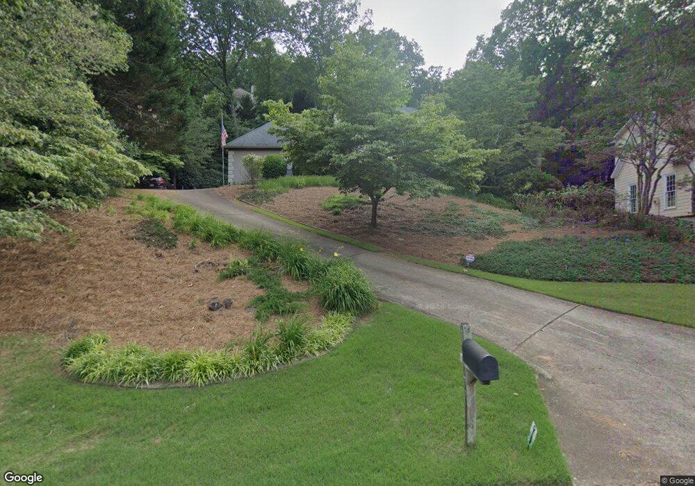
4781 W Forest Peak Unit 2 Marietta, GA 30066
Sandy Plains NeighborhoodEstimated Value: $623,000 - $852,000
5
Beds
5
Baths
4,504
Sq Ft
$162/Sq Ft
Est. Value
About This Home
This home is located at 4781 W Forest Peak Unit 2, Marietta, GA 30066 and is currently estimated at $731,533, approximately $162 per square foot. 4781 W Forest Peak Unit 2 is a home located in Cobb County with nearby schools including Davis Elementary School, Mabry Middle School, and Lassiter High School.
Ownership History
Date
Name
Owned For
Owner Type
Purchase Details
Closed on
Sep 15, 2025
Sold by
Nichols C Watson C and Nichols Christina Robertson
Bought by
Azadi Mahdi and Jowkar Neda
Current Estimated Value
Home Financials for this Owner
Home Financials are based on the most recent Mortgage that was taken out on this home.
Original Mortgage
$570,000
Outstanding Balance
$570,000
Interest Rate
6.63%
Mortgage Type
New Conventional
Estimated Equity
$161,533
Purchase Details
Closed on
Oct 15, 2021
Sold by
Watson Nichols C
Bought by
Nichols C Watson C and Nichols Christina Robertson
Home Financials for this Owner
Home Financials are based on the most recent Mortgage that was taken out on this home.
Original Mortgage
$196,000
Interest Rate
2.1%
Mortgage Type
New Conventional
Purchase Details
Closed on
Jul 1, 2002
Sold by
Burgett Dennis M and Burgett Sybil N
Bought by
Nichols C W
Home Financials for this Owner
Home Financials are based on the most recent Mortgage that was taken out on this home.
Original Mortgage
$262,400
Interest Rate
6.62%
Mortgage Type
New Conventional
Create a Home Valuation Report for This Property
The Home Valuation Report is an in-depth analysis detailing your home's value as well as a comparison with similar homes in the area
Home Values in the Area
Average Home Value in this Area
Purchase History
| Date | Buyer | Sale Price | Title Company |
|---|---|---|---|
| Azadi Mahdi | $600,000 | None Listed On Document | |
| Nichols C Watson C | -- | None Listed On Document | |
| Nichols C W | $328,000 | -- |
Source: Public Records
Mortgage History
| Date | Status | Borrower | Loan Amount |
|---|---|---|---|
| Open | Azadi Mahdi | $570,000 | |
| Previous Owner | Nichols C Watson C | $196,000 | |
| Previous Owner | Nichols C W | $262,400 |
Source: Public Records
Tax History Compared to Growth
Tax History
| Year | Tax Paid | Tax Assessment Tax Assessment Total Assessment is a certain percentage of the fair market value that is determined by local assessors to be the total taxable value of land and additions on the property. | Land | Improvement |
|---|---|---|---|---|
| 2025 | $1,565 | $248,164 | $60,000 | $188,164 |
| 2024 | $1,570 | $248,164 | $60,000 | $188,164 |
| 2023 | $1,363 | $248,164 | $60,000 | $188,164 |
| 2022 | $1,438 | $204,208 | $40,000 | $164,208 |
| 2021 | $1,372 | $182,044 | $40,000 | $142,044 |
| 2020 | $4,624 | $182,044 | $40,000 | $142,044 |
| 2019 | $4,624 | $182,044 | $40,000 | $142,044 |
| 2018 | $4,017 | $154,352 | $36,800 | $117,552 |
| 2017 | $3,866 | $154,352 | $36,800 | $117,552 |
| 2016 | $3,424 | $134,084 | $31,600 | $102,484 |
| 2015 | $3,503 | $134,084 | $31,600 | $102,484 |
| 2014 | $3,529 | $134,084 | $0 | $0 |
Source: Public Records
Map
Nearby Homes
- 4243 N Mountain Rd NE
- 4734 Outlook Way NE
- 3465 Township Ridge Point
- 130 Cherecobb Dr
- 4302 Highborne Dr NE Unit 3
- 4563 Ashmore Cir NE
- 4380 Wood Creek Dr
- 4589 Wigley Estates Rd
- 920 Lucky Ln
- 4397 Windsor Oaks Cir
- 3333 Devaughn Dr NE
- 422 Stovall Place
- 421 Stovall Place
- 415 Bellehaven Ln
- 601 Cork St
- 146 Bellehaven Dr
- 3043 Sawyer Trace NE
- 126 Heron Crossing
- 4791 W Forest Peak Unit 2
- 3602 Forest Peak Summit Unit 2
- 3600 Forest Peak Summit
- 4801 W Forest Peak Unit 2
- 4780 W Forest Peak Unit 2
- 4811 W Forest Peak
- 4770 W Forest Peak
- 3604 Forest Peak Summit
- 3601 Forest Peak Summit
- 3603 Forest Peak Summit
- 3671 Forest Peak Landing Unit 2
- W W Forest Peak NE
- 4760 W Forest Peak
- 4830 W Forest Peak
- 3680 Forest Peak Landing Unit 2
- 4820 W Forest Peak
- 4800 W Forest Peak
- 4810 W Forest Peak Unit 2
- 4750 W Forest Peak Unit 2
- 4548 High Rock Terrace