4783 Hereford Ln Stevensville, MT 59870
Estimated Value: $436,707 - $666,000
2
Beds
2
Baths
1,434
Sq Ft
$368/Sq Ft
Est. Value
About This Home
This home is located at 4783 Hereford Ln, Stevensville, MT 59870 and is currently estimated at $527,569, approximately $367 per square foot. 4783 Hereford Ln is a home located in Ravalli County with nearby schools including Stevensville Elementary School, Stevensville Junior High School, and Stevensville High School.
Ownership History
Date
Name
Owned For
Owner Type
Purchase Details
Closed on
Sep 12, 2023
Sold by
Schmiedeke John
Bought by
Montana Department Of Transportation
Current Estimated Value
Purchase Details
Closed on
Jun 14, 2023
Sold by
Johnson Family Trust
Bought by
Montana Department Of Transportation
Purchase Details
Closed on
Dec 28, 2016
Bought by
Johnson Cleatus E Te and Johnson Beryl A Te
Purchase Details
Closed on
Jan 31, 2005
Bought by
Johnson Cleatus E and Johnson Beryl A
Create a Home Valuation Report for This Property
The Home Valuation Report is an in-depth analysis detailing your home's value as well as a comparison with similar homes in the area
Home Values in the Area
Average Home Value in this Area
Purchase History
| Date | Buyer | Sale Price | Title Company |
|---|---|---|---|
| Montana Department Of Transportation | -- | None Listed On Document | |
| Montana Department Of Transportation | -- | None Listed On Document | |
| Johnson Cleatus E Te | -- | -- | |
| Johnson Cleatus E | -- | -- |
Source: Public Records
Tax History Compared to Growth
Tax History
| Year | Tax Paid | Tax Assessment Tax Assessment Total Assessment is a certain percentage of the fair market value that is determined by local assessors to be the total taxable value of land and additions on the property. | Land | Improvement |
|---|---|---|---|---|
| 2025 | $193 | $214,212 | $0 | $0 |
| 2024 | $253 | $177,733 | $0 | $0 |
| 2023 | $252 | $177,733 | $0 | $0 |
| 2022 | $261 | $137,009 | $0 | $0 |
| 2021 | $283 | $137,009 | $0 | $0 |
| 2020 | $289 | $128,270 | $0 | $0 |
| 2019 | $287 | $128,270 | $0 | $0 |
| 2018 | $524 | $119,800 | $0 | $0 |
| 2017 | $518 | $119,800 | $0 | $0 |
| 2016 | $500 | $116,127 | $0 | $0 |
| 2015 | $925 | $116,127 | $0 | $0 |
| 2014 | $731 | $57,262 | $0 | $0 |
Source: Public Records
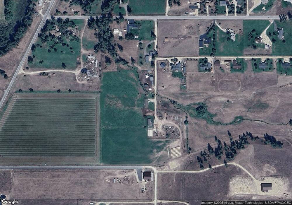
Map
Nearby Homes
- 4786 Hereford Ln
- 5031 Cameron Rose Ln
- 5289 Gabriels Way
- 201 Barnwood Way
- 205 Barnwood Way
- 4784 Cameron Rose Ln
- 4728 Northview Dr
- 1216 Rugged Ridge Rd
- 226 Sky Pilot Ln
- 5583 Eastside Hwy
- Nhn El Capitan Loop
- nhn 3 Mile Creek Rd
- 5014 Eastside Hwy
- 516 El Capitan Loop
- 481 Dry Gulch Rd
- 571 Ridge Rd
- 604 Ridge Rd
- 4465 Collie Ct
- 4488 Collie Ct
- 461 Sunrider Ln
- 4787 Hereford Ln
- 4785 Hereford Ln
- 4735 Hereford Ln
- 117 Dry Gulch Rd
- 125 Dry Gulch Rd
- 151 Dry Gulch Rd
- Lot A3 Dry Gulch
- 5190 Eastside Hwy
- Uukn Cameron Rose
- 4859 Airedale Ln
- 4949 Cameron Rose Ln
- Lot 27 Cameron Rose
- 153 Dry Gulch Rd
- 140 Dry Gulch Rd
- 118 Dry Gulch Rd
- 4956 Cameron Rose Ln
- 4956 Camrose Ln
- 101 Dry Gulch Rd
- 148 Dry Gulch Rd
- 5304 Gabriels Way