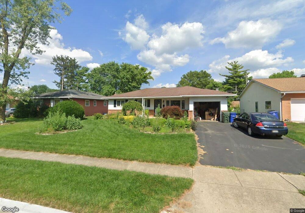
4784 Esterbrook Rd Columbus, OH 43229
Woodward Park NeighborhoodEstimated Value: $258,114 - $299,000
3
Beds
2
Baths
1,268
Sq Ft
$224/Sq Ft
Est. Value
About This Home
This home is located at 4784 Esterbrook Rd, Columbus, OH 43229 and is currently estimated at $284,529, approximately $224 per square foot. 4784 Esterbrook Rd is a home located in Franklin County with nearby schools including Valley Forge Elementary School, Woodward Park Middle School, and Northland High School.
Ownership History
Date
Name
Owned For
Owner Type
Purchase Details
Closed on
Aug 17, 2011
Sold by
Burclaff Eunice A
Bought by
Urban Kristina B and Urban Keith R
Current Estimated Value
Home Financials for this Owner
Home Financials are based on the most recent Mortgage that was taken out on this home.
Original Mortgage
$99,655
Outstanding Balance
$68,236
Interest Rate
4.64%
Mortgage Type
New Conventional
Estimated Equity
$216,293
Purchase Details
Closed on
May 30, 2003
Sold by
Rowan Sondra L and Rayke Sondra L
Bought by
Burclaff Eunice A
Home Financials for this Owner
Home Financials are based on the most recent Mortgage that was taken out on this home.
Original Mortgage
$100,400
Interest Rate
5.71%
Mortgage Type
Purchase Money Mortgage
Purchase Details
Closed on
Aug 1, 1978
Bought by
Rowan Sondra L
Purchase Details
Closed on
Jul 6, 1978
Bought by
Rowan Sondra L
Create a Home Valuation Report for This Property
The Home Valuation Report is an in-depth analysis detailing your home's value as well as a comparison with similar homes in the area
Home Values in the Area
Average Home Value in this Area
Purchase History
| Date | Buyer | Sale Price | Title Company |
|---|---|---|---|
| Urban Kristina B | $104,900 | Peak | |
| Burclaff Eunice A | $125,500 | Worthington Title Agency Inc | |
| Rowan Sondra L | $50,900 | -- | |
| Rowan Sondra L | -- | -- |
Source: Public Records
Mortgage History
| Date | Status | Borrower | Loan Amount |
|---|---|---|---|
| Open | Urban Kristina B | $99,655 | |
| Previous Owner | Burclaff Eunice A | $100,400 | |
| Closed | Burclaff Eunice A | $25,100 |
Source: Public Records
Tax History
| Year | Tax Paid | Tax Assessment Tax Assessment Total Assessment is a certain percentage of the fair market value that is determined by local assessors to be the total taxable value of land and additions on the property. | Land | Improvement |
|---|---|---|---|---|
| 2025 | $5,363 | $80,010 | $20,370 | $59,640 |
| 2024 | $5,363 | $80,010 | $20,370 | $59,640 |
| 2023 | $3,545 | $80,010 | $20,370 | $59,640 |
| 2022 | $2,405 | $46,380 | $11,380 | $35,000 |
| 2021 | $2,410 | $46,380 | $11,380 | $35,000 |
| 2020 | $2,413 | $46,380 | $11,380 | $35,000 |
| 2019 | $2,204 | $36,330 | $9,100 | $27,230 |
| 2018 | $2,151 | $36,330 | $9,100 | $27,230 |
| 2017 | $2,260 | $36,330 | $9,100 | $27,230 |
| 2016 | $2,317 | $34,970 | $8,440 | $26,530 |
| 2015 | $2,103 | $34,970 | $8,440 | $26,530 |
| 2014 | $2,108 | $34,970 | $8,440 | $26,530 |
| 2013 | $1,095 | $36,820 | $8,890 | $27,930 |
Source: Public Records
Map
Nearby Homes
- 1116 Tulsa Dr
- 4904 Almont Dr
- 4983 Almont Dr
- 4827 Glendon Rd
- 1414 Alvina Dr
- 1451 Merton Dr
- 4815 Bourke Rd
- 4800 Bourke Rd
- 4795 Colonel Perry Dr
- 1144 Reed Circle Dr
- 1310 Fowler Dr
- 1485 Norma Rd
- 4923 Karl Rd Unit 4925
- 4455 Kenfield Rd
- 5004 Julie Place
- 1637 Nestling Dr Unit 639
- 5008 Sienna Ln
- 1130 Carbone Dr
- 952 Minerva Ave
- 1705 Ivyhill Loop S
- 4772 Esterbrook Rd
- 4792 Esterbrook Rd
- 4777 Maize Rd
- 4800 Esterbrook Rd
- 4785 Maize Rd
- 4764 Esterbrook Rd
- 4765 Maize Rd
- 4793 Maize Rd
- 4783 Esterbrook Rd
- 4791 Esterbrook Rd
- 4775 Esterbrook Rd
- 4808 Esterbrook Rd
- 4756 Esterbrook Rd
- 4799 Esterbrook Rd
- 4757 Maize Rd
- 4763 Esterbrook Rd
- 4809 Esterbrook Rd
- 4801 Maize Rd
- 4819 Almont Dr
- 4749 Maize Rd
Your Personal Tour Guide
Ask me questions while you tour the home.