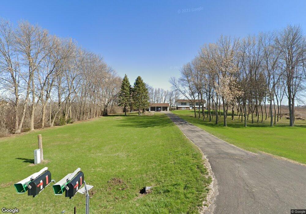
4788 230th St Winsted, MN 55395
Estimated Value: $396,000 - $435,000
4
Beds
2
Baths
1,231
Sq Ft
$337/Sq Ft
Est. Value
About This Home
This home is located at 4788 230th St, Winsted, MN 55395 and is currently estimated at $415,233, approximately $337 per square foot. 4788 230th St is a home located in McLeod County with nearby schools including Winsted Elementary School, Humphrey Elementary School, and Howard Lake-Waverly-Winsted Middle School.
Ownership History
Date
Name
Owned For
Owner Type
Purchase Details
Closed on
Apr 18, 2022
Sold by
Thompson Diana
Bought by
Bruns Tyler and Bruns Leigha
Current Estimated Value
Home Financials for this Owner
Home Financials are based on the most recent Mortgage that was taken out on this home.
Original Mortgage
$304,000
Outstanding Balance
$280,895
Interest Rate
3.76%
Mortgage Type
New Conventional
Estimated Equity
$134,338
Purchase Details
Closed on
Dec 8, 2016
Sold by
Thompson Roger E and Thompson Diana C
Bought by
Thompson Nathan and Stender Annette
Create a Home Valuation Report for This Property
The Home Valuation Report is an in-depth analysis detailing your home's value as well as a comparison with similar homes in the area
Purchase History
| Date | Buyer | Sale Price | Title Company |
|---|---|---|---|
| Bruns Tyler | $380,000 | -- | |
| Thompson Nathan | -- | None Available |
Source: Public Records
Mortgage History
| Date | Status | Borrower | Loan Amount |
|---|---|---|---|
| Open | Bruns Tyler | $304,000 |
Source: Public Records
Tax History
| Year | Tax Paid | Tax Assessment Tax Assessment Total Assessment is a certain percentage of the fair market value that is determined by local assessors to be the total taxable value of land and additions on the property. | Land | Improvement |
|---|---|---|---|---|
| 2025 | $3,388 | $379,900 | $147,900 | $232,000 |
| 2024 | $3,664 | $366,300 | $134,400 | $231,900 |
| 2023 | $3,664 | $380,400 | $134,400 | $246,000 |
| 2022 | $2,984 | $378,200 | $134,400 | $243,800 |
| 2021 | $2,996 | $270,800 | $97,100 | $173,700 |
| 2020 | $2,902 | $262,500 | $97,100 | $165,400 |
| 2019 | $2,738 | $249,600 | $88,300 | $161,300 |
| 2018 | $2,376 | $0 | $0 | $0 |
| 2017 | $2,134 | $0 | $0 | $0 |
| 2016 | $2,114 | $0 | $0 | $0 |
| 2015 | $2,038 | $0 | $0 | $0 |
| 2014 | -- | $0 | $0 | $0 |
Source: Public Records
Map
Nearby Homes
- 530 4th St N
- 362 S Shore Dr
- 10864 117th St SW
- 111 George Ave E
- 141 Fairlawn Ave E
- 8785 110th St SW
- 419 Lake Dr
- 370 Pike Ct
- 322 Sunfish Ct
- 342 Sunfish Ln
- 19383 Babcock Ave
- XXX Huber Ave SW
- 10142 225th St
- XXX Main St
- 211 Century Ln
- XXXX Route 7
- 1204 Prairie Ridge Ln
- 316 Lake Ave N
- 11365 Platt Ave SW
- 5075 County Road 33
Your Personal Tour Guide
Ask me questions while you tour the home.