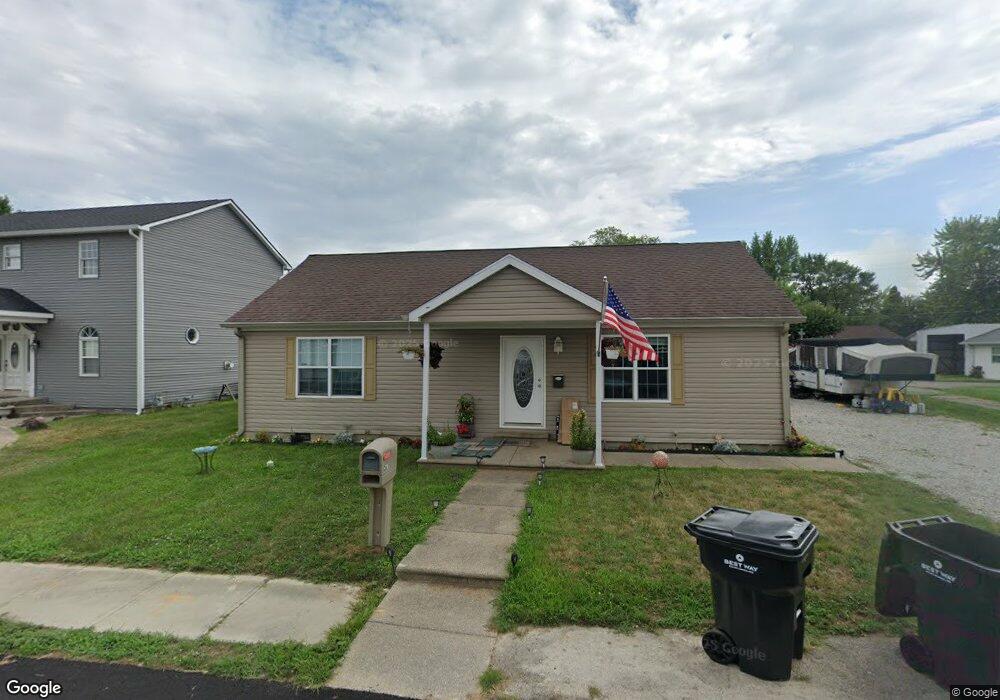
479 E Pearl St Whiteland, IN 46184
Estimated Value: $209,000 - $246,000
3
Beds
2
Baths
1,188
Sq Ft
$193/Sq Ft
Est. Value
About This Home
This home is located at 479 E Pearl St, Whiteland, IN 46184 and is currently estimated at $229,001, approximately $192 per square foot. 479 E Pearl St is a home located in Johnson County with nearby schools including Whiteland Elementary School, Clark-Pleasant Middle School, and Whiteland Community High School.
Ownership History
Date
Name
Owned For
Owner Type
Purchase Details
Closed on
Aug 9, 2024
Sold by
Vore Rodney W
Bought by
Beeson Real Estate Holdings Llc
Current Estimated Value
Home Financials for this Owner
Home Financials are based on the most recent Mortgage that was taken out on this home.
Original Mortgage
$320,000
Outstanding Balance
$316,372
Interest Rate
6.86%
Mortgage Type
Seller Take Back
Estimated Equity
-$87,371
Purchase Details
Closed on
Jun 29, 2016
Sold by
Blackacre Llc
Bought by
Vore Rodney W
Purchase Details
Closed on
Mar 14, 2008
Sold by
Jon Williams Contracting Inc
Bought by
Blackacre Llc
Create a Home Valuation Report for This Property
The Home Valuation Report is an in-depth analysis detailing your home's value as well as a comparison with similar homes in the area
Home Values in the Area
Average Home Value in this Area
Purchase History
| Date | Buyer | Sale Price | Title Company |
|---|---|---|---|
| Beeson Real Estate Holdings Llc | -- | None Listed On Document | |
| Vore Rodney W | -- | None Available | |
| Blackacre Llc | -- | None Available |
Source: Public Records
Mortgage History
| Date | Status | Borrower | Loan Amount |
|---|---|---|---|
| Open | Beeson Real Estate Holdings Llc | $320,000 |
Source: Public Records
Tax History Compared to Growth
Tax History
| Year | Tax Paid | Tax Assessment Tax Assessment Total Assessment is a certain percentage of the fair market value that is determined by local assessors to be the total taxable value of land and additions on the property. | Land | Improvement |
|---|---|---|---|---|
| 2025 | $3,432 | $202,200 | $33,600 | $168,600 |
| 2024 | $3,432 | $164,300 | $33,600 | $130,700 |
| 2023 | $3,366 | $161,400 | $33,600 | $127,800 |
| 2022 | $2,794 | $134,500 | $22,400 | $112,100 |
| 2021 | $2,578 | $123,600 | $22,400 | $101,200 |
| 2020 | $2,400 | $114,300 | $22,400 | $91,900 |
| 2019 | $2,421 | $115,300 | $22,400 | $92,900 |
| 2018 | $1,299 | $104,500 | $17,100 | $87,400 |
| 2017 | $396 | $14,600 | $14,600 | $0 |
| 2016 | $409 | $14,600 | $14,600 | $0 |
| 2014 | $563 | $19,500 | $19,500 | $0 |
| 2013 | $563 | $19,500 | $19,500 | $0 |
Source: Public Records
Map
Nearby Homes
- 650 E Pearl St
- 180 Briar Hill Dr
- 320 Briar Hill Dr
- 510 Greensprings Dr
- 630 Walnut St
- 657 Whiteland Rd
- 545 Whiteland Rd
- 111 Ames Dr
- 131 Ames Dr
- 141 Ames Dr
- Henley Plan at Saddlebrook Farms
- Fairfax Plan at Saddlebrook Farms - North
- 841 E Pearl St
- Henley Plan at Saddlebrook Farms - North
- Freeport Plan at Saddlebrook Farms - North
- Johnstown Plan at Saddlebrook Farms - North
- Dayton Plan at Saddlebrook Farms - North
- Chatham Plan at Saddlebrook Farms - North
- Dayton Plan at Saddlebrook Farms
- Harmony Plan at Saddlebrook Farms - North