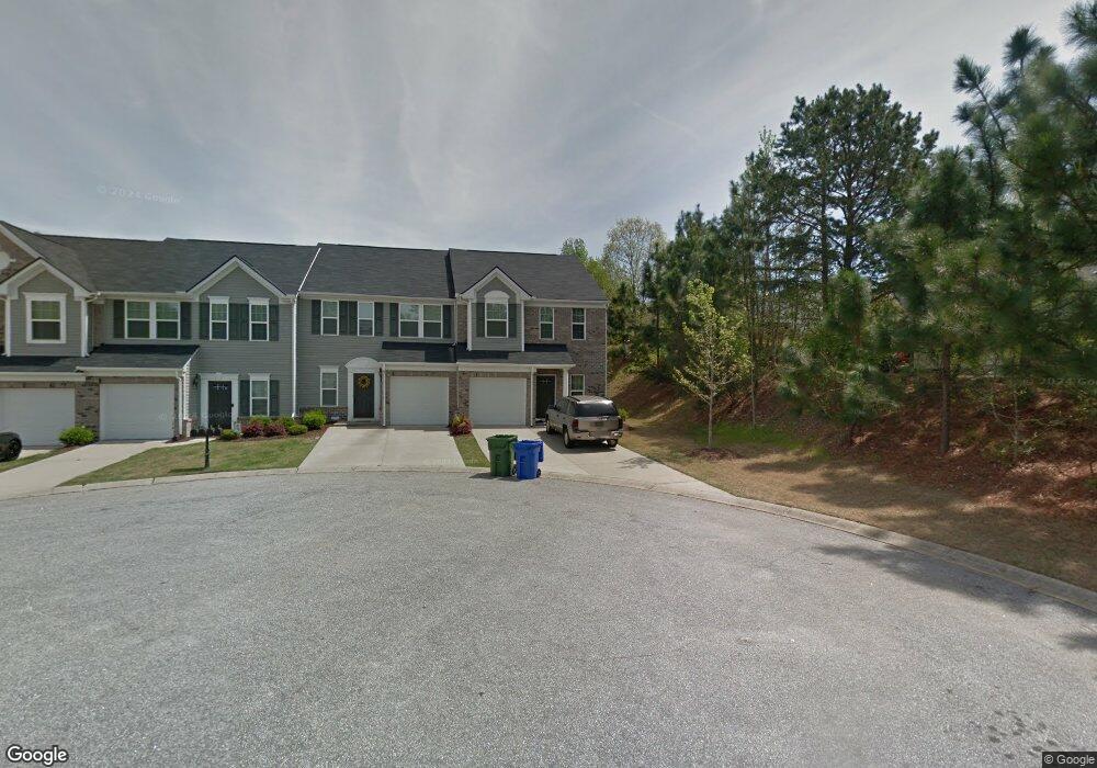
479 Woodbark Ct Mauldin, SC 29662
Estimated Value: $232,000 - $272,000
3
Beds
3
Baths
1,760
Sq Ft
$146/Sq Ft
Est. Value
About This Home
This home is located at 479 Woodbark Ct, Mauldin, SC 29662 and is currently estimated at $257,508, approximately $146 per square foot. 479 Woodbark Ct is a home with nearby schools including Mauldin Elementary School, Mauldin Middle School, and Mauldin High School.
Ownership History
Date
Name
Owned For
Owner Type
Purchase Details
Closed on
Oct 27, 2014
Sold by
Nvr Inc
Bought by
West Alexander M
Current Estimated Value
Home Financials for this Owner
Home Financials are based on the most recent Mortgage that was taken out on this home.
Original Mortgage
$142,555
Outstanding Balance
$109,803
Interest Rate
4.15%
Mortgage Type
New Conventional
Estimated Equity
$147,705
Purchase Details
Closed on
Jul 25, 2014
Sold by
Holmes Land Investments Inc
Bought by
Nvr Inc
Create a Home Valuation Report for This Property
The Home Valuation Report is an in-depth analysis detailing your home's value as well as a comparison with similar homes in the area
Home Values in the Area
Average Home Value in this Area
Purchase History
| Date | Buyer | Sale Price | Title Company |
|---|---|---|---|
| West Alexander M | $158,395 | -- | |
| Nvr Inc | $102,000 | -- |
Source: Public Records
Mortgage History
| Date | Status | Borrower | Loan Amount |
|---|---|---|---|
| Open | West Alexander M | $142,555 |
Source: Public Records
Tax History Compared to Growth
Tax History
| Year | Tax Paid | Tax Assessment Tax Assessment Total Assessment is a certain percentage of the fair market value that is determined by local assessors to be the total taxable value of land and additions on the property. | Land | Improvement |
|---|---|---|---|---|
| 2024 | $1,260 | $6,910 | $940 | $5,970 |
| 2023 | $1,260 | $6,910 | $940 | $5,970 |
| 2022 | $1,187 | $6,910 | $940 | $5,970 |
| 2021 | $1,188 | $6,910 | $940 | $5,970 |
| 2020 | $1,195 | $6,570 | $860 | $5,710 |
| 2019 | $1,195 | $6,570 | $860 | $5,710 |
| 2018 | $1,193 | $6,570 | $860 | $5,710 |
| 2017 | $1,193 | $6,570 | $860 | $5,710 |
| 2016 | $1,148 | $164,150 | $21,500 | $142,650 |
| 2015 | $1,148 | $164,150 | $21,500 | $142,650 |
| 2014 | $154 | $18,000 | $18,000 | $0 |
Source: Public Records
Map
Nearby Homes
- 21 Centimeters Dr
- 468 Woodbark Ct
- 208 Greenbush Ct
- 414 Woodbark Ct
- 473 Canewood Place
- 455 Canewood Place
- 110 Auburn Top Ln
- 113 Forrester Creek Dr
- 110 Forrester Creek Dr
- 224 Hadley Commons Dr
- 11 Hickory Hollow Ct
- 250 Hadley Commons Dr
- 1308 Alexandrite Ln
- 1 Plum Creek Ln
- 0 Corn and Miller Rd
- 137 Gervais Cir
- 104 E Bay Ct
- 102 E Bay Ct
- 118 Nightingale Ln
- 115 Sandpiper Ln
- 477 Woodbark Ct
- 475 Woodbark Ct
- 473 Woodbark Ct
- 132 Brookhill Place
- 130 Brookhill Place
- 134 Brookhill Place
- 471 Woodbark Ct
- 128 Brookhill Place
- 136 Brookhill Place
- 469 Woodbark Ct
- 17 Centimeters Dr
- 469 Woodbank Ct
- 15 Centimeters Dr
- 19 Centimeters Dr
- 467 Woodbark Ct
- 138 Brookhill Place
- 126 Brookhill Place
- 480 Woodbark Ct
- 23 Centimeters Dr
- 465 Woodbark Ct