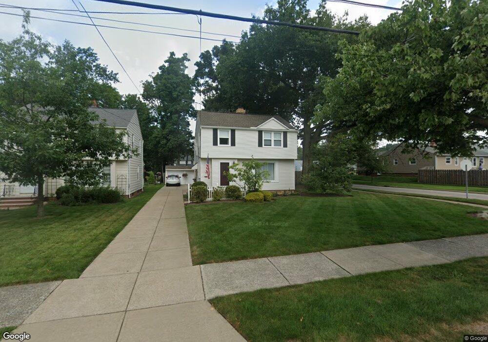
4793 Burger Rd Cleveland, OH 44121
Estimated Value: $171,000 - $261,000
3
Beds
2
Baths
1,415
Sq Ft
$146/Sq Ft
Est. Value
About This Home
This home is located at 4793 Burger Rd, Cleveland, OH 44121 and is currently estimated at $206,109, approximately $145 per square foot. 4793 Burger Rd is a home located in Cuyahoga County with nearby schools including Greenview Upper Elementary School, Sunview Elementary School, and Memorial Junior High School.
Ownership History
Date
Name
Owned For
Owner Type
Purchase Details
Closed on
Dec 20, 1991
Sold by
Sevastos Charles C
Bought by
Paluf Mark
Current Estimated Value
Purchase Details
Closed on
Feb 23, 1987
Sold by
Roth Ethel D
Bought by
Sevastos Charles C
Purchase Details
Closed on
Nov 18, 1986
Sold by
Roth George M and Roth Ethel D
Bought by
Roth Ethel D
Purchase Details
Closed on
Nov 9, 1984
Sold by
Roth George M and Roth Ethel D
Bought by
Roth George M and Roth Ethel D
Purchase Details
Closed on
Jan 1, 1975
Bought by
Roth George M and Roth Ethel D
Create a Home Valuation Report for This Property
The Home Valuation Report is an in-depth analysis detailing your home's value as well as a comparison with similar homes in the area
Home Values in the Area
Average Home Value in this Area
Purchase History
| Date | Buyer | Sale Price | Title Company |
|---|---|---|---|
| Paluf Mark | $84,000 | -- | |
| Sevastos Charles C | $66,000 | -- | |
| Roth Ethel D | -- | -- | |
| Roth George M | -- | -- | |
| Roth George M | -- | -- |
Source: Public Records
Tax History Compared to Growth
Tax History
| Year | Tax Paid | Tax Assessment Tax Assessment Total Assessment is a certain percentage of the fair market value that is determined by local assessors to be the total taxable value of land and additions on the property. | Land | Improvement |
|---|---|---|---|---|
| 2024 | $4,373 | $55,405 | $11,760 | $43,645 |
| 2023 | $3,998 | $41,310 | $8,930 | $32,380 |
| 2022 | $4,029 | $41,300 | $8,925 | $32,375 |
| 2021 | $3,998 | $41,300 | $8,930 | $32,380 |
| 2020 | $3,949 | $35,600 | $7,700 | $27,900 |
| 2019 | $3,616 | $101,700 | $22,000 | $79,700 |
| 2018 | $3,592 | $35,600 | $7,700 | $27,900 |
| 2017 | $3,691 | $33,610 | $7,320 | $26,290 |
| 2016 | $3,669 | $33,610 | $7,320 | $26,290 |
| 2015 | $3,562 | $33,610 | $7,320 | $26,290 |
| 2014 | $3,562 | $33,610 | $7,320 | $26,290 |
Source: Public Records
Map
Nearby Homes
- 4781 Dorshwood Rd
- 4769 Edenwood Rd
- 4866 Fairlawn Rd
- 1271 Dorsh Rd
- 4669 Liberty Rd
- 4650 Liberty Rd
- 981 Hanley Rd
- 4800 Farnhurst Rd
- 4591 Wilburn Dr
- 4742 Anderson Rd
- 4561 Wilburn Dr
- 4880 Anderson Rd
- 1333 Clearview Rd
- 4532 Anderson Rd
- 4695 Mayfield Rd Unit A
- 4685 Mayfield Rd Unit F
- 4493 Telhurst Rd
- 1512 Parkside Cir
- 4859 Delevan Dr
- 4616 Mcfarland Rd
- 4789 Burger Rd
- 4785 Burger Rd
- 4800 Fairlawn Rd
- 4784 Dorshwood Rd
- 4781 Burger Rd
- 4780 Dorshwood Rd
- 4776 Dorshwood Rd
- 4799 N Sedgewick Rd
- 4777 Burger Rd
- 4810 Fairlawn Rd
- 4792 Burger Rd
- 4788 Burger Rd
- 4799 Fairlawn Rd
- 4784 Burger Rd
- 4772 Dorshwood Rd
- 4807 N Sedgewick Rd
- 4773 Burger Rd
- 4816 Fairlawn Rd
- 4803 Fairlawn Rd
- 4780 Burger Rd