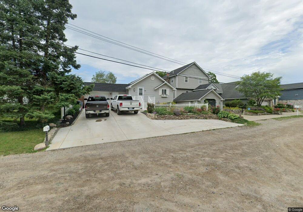
4794 Harding Ave Clarkston, MI 48346
Estimated Value: $357,101 - $410,000
3
Beds
2
Baths
1,588
Sq Ft
$245/Sq Ft
Est. Value
About This Home
This home is located at 4794 Harding Ave, Clarkston, MI 48346 and is currently estimated at $388,275, approximately $244 per square foot. 4794 Harding Ave is a home located in Oakland County with nearby schools including Schoolcraft Elementary School, Waterford Kettering High School, and Mason Middle School.
Ownership History
Date
Name
Owned For
Owner Type
Purchase Details
Closed on
Sep 23, 2005
Sold by
Petrusha Marc T and Haynes Michael G
Bought by
Saunders Thomas F and Gaffney Janice M
Current Estimated Value
Home Financials for this Owner
Home Financials are based on the most recent Mortgage that was taken out on this home.
Original Mortgage
$226,400
Outstanding Balance
$121,733
Interest Rate
5.93%
Mortgage Type
New Conventional
Estimated Equity
$266,542
Purchase Details
Closed on
Dec 2, 1997
Sold by
Walterhouse Gregg R
Bought by
Petrusha Marc T
Create a Home Valuation Report for This Property
The Home Valuation Report is an in-depth analysis detailing your home's value as well as a comparison with similar homes in the area
Home Values in the Area
Average Home Value in this Area
Purchase History
| Date | Buyer | Sale Price | Title Company |
|---|---|---|---|
| Saunders Thomas F | $283,000 | Greco | |
| Petrusha Marc T | $153,000 | -- |
Source: Public Records
Mortgage History
| Date | Status | Borrower | Loan Amount |
|---|---|---|---|
| Open | Saunders Thomas F | $226,400 |
Source: Public Records
Tax History Compared to Growth
Tax History
| Year | Tax Paid | Tax Assessment Tax Assessment Total Assessment is a certain percentage of the fair market value that is determined by local assessors to be the total taxable value of land and additions on the property. | Land | Improvement |
|---|---|---|---|---|
| 2024 | $1,690 | $151,900 | $26,100 | $125,800 |
| 2023 | $2,287 | $139,000 | $24,600 | $114,400 |
| 2022 | $2,287 | $126,600 | $21,300 | $105,300 |
| 2021 | $2,288 | $131,000 | $19,500 | $111,500 |
| 2020 | $1,475 | $117,500 | $9,700 | $107,800 |
| 2018 | $2,200 | $98,000 | $9,600 | $88,400 |
| 2015 | -- | $84,300 | $0 | $0 |
| 2014 | -- | $74,000 | $0 | $0 |
| 2011 | -- | $62,800 | $0 | $0 |
Source: Public Records
Map
Nearby Homes
- 5721 Corunna Ave
- 0 Harding Ave Harding Ave
- 4886 Harding Ave
- 5944 Waterford Hill Terrace
- 000 Dixie Hwy
- 5142 Marvin Rd
- 6003 Rolton Ct
- 5826 Andersonville Rd
- 6492 Scenic Pines Ct Unit 16
- 6516 Scenic Pines Ct Unit 12
- 4281 Marcus Rd
- 4341 Barnard Rd
- 5385 Milane Cir
- 5025 Timberway Trail
- 6583 Ridgeview Dr
- 6334 Andersonville Rd
- 5336 Forest Ridge Dr Unit 55
- 000 Waterloo St
- 4953 Rioview Dr
- 6788 Balmoral Terrace
- 4800 Harding Ave
- 4788 Harding Ave
- 4806 Harding Ave
- 4782 Harding Ave
- 4776 Harding Ave
- 4776 Harding Ave Unit HARDING
- 5669 Corunna Ave
- 4812 Harding Ave
- 4771 Harding Ave
- 0 Harding Unit 4508919
- 0 Harding Unit G31143571
- 4824 Harding Ave
- VL Harding Ave
- 4817 Harding Ave
- 4830 Harding Ave
- 5679 Corunna Ave
- 5810 Whithorn Dr
- 5701 Corunna Ave
- 5820 Whithorn Dr
- 4850 Harding Ave