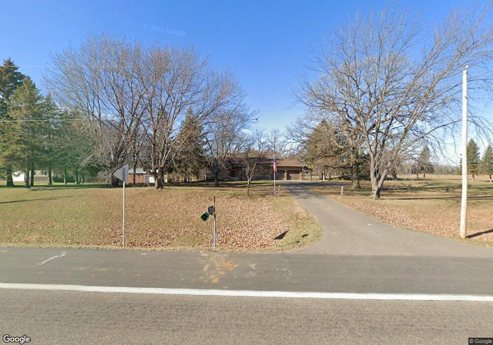
4795 Dempsey Ave SW Waverly, MN 55390
Estimated Value: $342,000 - $400,000
2
Beds
2
Baths
1,288
Sq Ft
$287/Sq Ft
Est. Value
About This Home
This home is located at 4795 Dempsey Ave SW, Waverly, MN 55390 and is currently estimated at $370,029, approximately $287 per square foot. 4795 Dempsey Ave SW is a home located in Wright County with nearby schools including Humphrey Elementary School, Winsted Elementary School, and Howard Lake-Waverly-Winsted Middle School.
Ownership History
Date
Name
Owned For
Owner Type
Purchase Details
Closed on
Sep 10, 2020
Sold by
Boehike Ronald E
Bought by
Boehike Ronald E and Fritzke Paula
Current Estimated Value
Home Financials for this Owner
Home Financials are based on the most recent Mortgage that was taken out on this home.
Original Mortgage
$163,500
Outstanding Balance
$145,095
Interest Rate
2.9%
Mortgage Type
New Conventional
Estimated Equity
$224,934
Purchase Details
Closed on
May 10, 2012
Sold by
Belland Bonnie
Bought by
Boehlke Ronald E
Create a Home Valuation Report for This Property
The Home Valuation Report is an in-depth analysis detailing your home's value as well as a comparison with similar homes in the area
Home Values in the Area
Average Home Value in this Area
Purchase History
| Date | Buyer | Sale Price | Title Company |
|---|---|---|---|
| Boehike Ronald E | -- | Central Land Title Agency Co | |
| Boehlke Ronald E | $190,000 | -- |
Source: Public Records
Mortgage History
| Date | Status | Borrower | Loan Amount |
|---|---|---|---|
| Open | Boehike Ronald E | $163,500 |
Source: Public Records
Tax History Compared to Growth
Tax History
| Year | Tax Paid | Tax Assessment Tax Assessment Total Assessment is a certain percentage of the fair market value that is determined by local assessors to be the total taxable value of land and additions on the property. | Land | Improvement |
|---|---|---|---|---|
| 2025 | $3,142 | $331,600 | $92,000 | $239,600 |
| 2024 | $3,092 | $333,000 | $102,000 | $231,000 |
| 2023 | $2,940 | $327,500 | $102,000 | $225,500 |
| 2022 | $2,980 | $304,800 | $102,000 | $202,800 |
| 2021 | $3,016 | $268,300 | $84,800 | $183,500 |
| 2020 | $3,052 | $262,100 | $84,800 | $177,300 |
| 2019 | $2,994 | $269,100 | $0 | $0 |
| 2018 | $2,460 | $260,000 | $0 | $0 |
| 2017 | $2,438 | $217,900 | $0 | $0 |
| 2016 | $2,416 | $0 | $0 | $0 |
| 2015 | $2,250 | $0 | $0 | $0 |
| 2014 | -- | $0 | $0 | $0 |
Source: Public Records
Map
Nearby Homes
- 804 N Shore Dr
- 1026 White Tail Ln
- 1023 White Tail Ln
- 4365 40th St SW
- 1701 N Shore Dr
- 408 Atlantic Ave
- 424 Wildflower Ct
- XX Sect-05 Twp-118 Range-026
- 4614 56th St SW
- 2002 Apple Ln
- 2105 Birch Ln
- 2008 Apple Ln
- 2010 Apple Ln
- 2113 Birch Ln
- 805 Cologne Ln
- 608 1st St N
- 809 Cologne Ln
- 1004 Brandenburg Ln
- The Oak Ridge Plan at Carrigan Meadows
- The Madison Villa Plan at Carrigan Meadows
- 4837 Dempsey Ave SW
- 4741 Dempsey Ave SW
- 4883 Dempsey Ave SW
- 4919 Dempsey Ave SW
- 4547 Desoto Ave SW
- 206 Wilson St
- 207 Wilson St
- 4566 Desoto Ave SW
- 204 Wilson St
- 110 Terrace Blvd
- 114 Terrace Blvd
- 202 Wilson St
- 203 Wilson St
- 113 Terrace Blvd
- 108 Terrace Blvd
- 201 Wilson St
- 111 Terrace Blvd
- Lot 12 Terrace Blvd
- 4465 Desoto Ave SW
- 109 Terrace Blvd