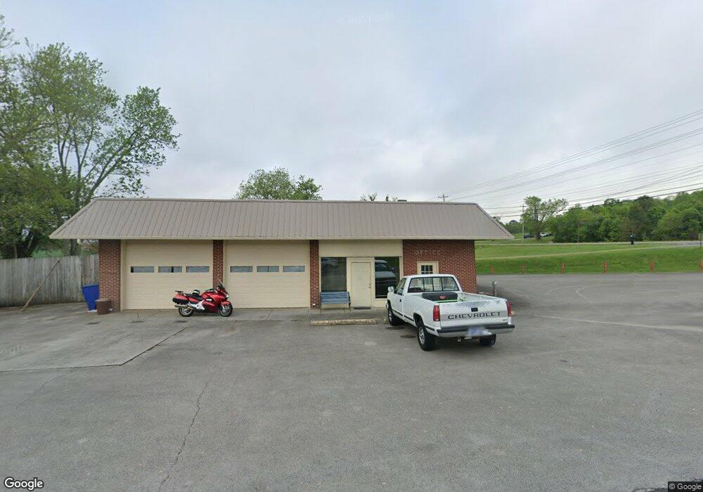
4797 W Andrew Johnson Hwy Morristown, TN 37814
Estimated Value: $313,000 - $402,374
--
Bed
1
Bath
1,620
Sq Ft
$221/Sq Ft
Est. Value
About This Home
This home is located at 4797 W Andrew Johnson Hwy, Morristown, TN 37814 and is currently estimated at $357,687, approximately $220 per square foot. 4797 W Andrew Johnson Hwy is a home with nearby schools including Manley Elementary School, West View Middle School, and Morristown West High School.
Ownership History
Date
Name
Owned For
Owner Type
Purchase Details
Closed on
Sep 29, 2008
Sold by
Brooks Carl Wayne
Bought by
Starnes Bobby D
Current Estimated Value
Purchase Details
Closed on
Sep 26, 2008
Sold by
Bradley Tony Clark
Bought by
Brooks Carl Wayne
Purchase Details
Closed on
Dec 27, 1995
Bought by
Brooks Carla L
Purchase Details
Closed on
Dec 26, 1995
Sold by
Williams Melvin R
Bought by
Brooks Carla
Purchase Details
Closed on
Nov 3, 1995
Sold by
Williams Melvin R
Bought by
Brooks Carl Wayne
Purchase Details
Closed on
Aug 16, 1993
Bought by
Williams Melvin
Purchase Details
Closed on
Sep 11, 1989
Bought by
Whitaker Robert E and Whitaker Frances
Purchase Details
Closed on
Mar 18, 1987
Bought by
Cooke Mack and Cooke Brenda
Purchase Details
Closed on
Jan 31, 1985
Bought by
Bussell Steven Blaine
Purchase Details
Closed on
Jun 1, 1983
Bought by
Akins Lynn and Akins Phyllis
Create a Home Valuation Report for This Property
The Home Valuation Report is an in-depth analysis detailing your home's value as well as a comparison with similar homes in the area
Home Values in the Area
Average Home Value in this Area
Purchase History
| Date | Buyer | Sale Price | Title Company |
|---|---|---|---|
| Starnes Bobby D | $165,000 | -- | |
| Brooks Carl Wayne | -- | -- | |
| Brooks Carla L | $115,000 | -- | |
| Brooks Carla | $115,000 | -- | |
| Brooks Carl Wayne | $125,000 | -- | |
| Williams Melvin | -- | -- | |
| Whitaker Robert E | $78,500 | -- | |
| Cooke Mack | $65,000 | -- | |
| Bussell Steven Blaine | -- | -- | |
| Akins Lynn | -- | -- |
Source: Public Records
Tax History Compared to Growth
Tax History
| Year | Tax Paid | Tax Assessment Tax Assessment Total Assessment is a certain percentage of the fair market value that is determined by local assessors to be the total taxable value of land and additions on the property. | Land | Improvement |
|---|---|---|---|---|
| 2024 | $648 | $36,825 | $25,650 | $11,175 |
| 2023 | $648 | $36,825 | $0 | $0 |
| 2022 | $2,251 | $71,240 | $53,360 | $17,880 |
| 2021 | $2,251 | $71,240 | $53,360 | $17,880 |
| 2020 | $2,248 | $71,240 | $53,360 | $17,880 |
| 2019 | $2,507 | $73,720 | $51,600 | $22,120 |
| 2018 | $2,323 | $73,720 | $51,600 | $22,120 |
| 2017 | $2,286 | $73,720 | $51,600 | $22,120 |
| 2016 | $2,182 | $73,720 | $51,600 | $22,120 |
| 2015 | $2,030 | $73,720 | $51,600 | $22,120 |
| 2014 | -- | $73,720 | $51,600 | $22,120 |
| 2013 | -- | $81,440 | $0 | $0 |
Source: Public Records
Map
Nearby Homes
- 4848 W Andrew Johnson Hwy
- 500 Hampton Blvd W
- 523 Hampton Blvd W
- 407 Cummings Ct
- 615 Benjamin Blvd
- 621 Benjamin Blvd
- 403 Cummings Ct
- 715* Benjamin Blvd
- 5130 Old Highway 11e
- 994 Pinewood Cir
- 665 Pinewood Cir
- 640 Pinewood Cir
- 623 Landen Cir
- 5203 Cub Cir
- 4537 Horseshoe Trail
- 5041 Lost Creek Dr
- 5045 Lost Creek Dr
- 5044 Lost Creek Dr
- 5049 Lost Creek Dr
- 5048 Lost Creek Dr
- 281 Suburban Dr
- 4801 W Andrew Johnson Hwy
- 271 Suburban Dr
- 280 Suburban Dr
- 270 Suburban Dr
- 261 Suburban Dr
- 4701 W Andrew Johnson Hwy
- Lot #1 W Andrew Johnson Hwy
- Lot #30 W Andrew Johnson Hwy
- 7425 W Andrew Johnson Hwy
- 260 Suburban Dr
- 4780 W Andrew Johnson Hwy
- 251 Suburban Dr
- 250 Suburban Dr
- 241 Suburban Dr
- 240 Suburban Dr
- 4836 W Andrew Johnson Hwy
- 231 Suburban Dr
- 230 Suburban Dr
- 4597 W Andrew Johnson Hwy Unit Auction