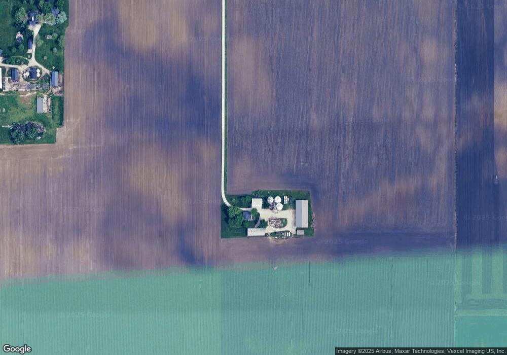
47W747 Main Street Rd Elburn, IL 60119
Estimated Value: $363,000 - $504,308
--
Bed
--
Bath
1,437
Sq Ft
$302/Sq Ft
Est. Value
About This Home
This home is located at 47W747 Main Street Rd, Elburn, IL 60119 and is currently estimated at $433,654, approximately $301 per square foot. 47W747 Main Street Rd is a home located in Kane County with nearby schools including Kaneland Blackberry Creek Elementary School, Harter Middle School, and Kaneland Senior High School.
Ownership History
Date
Name
Owned For
Owner Type
Purchase Details
Closed on
Aug 13, 2024
Sold by
White Joseph and White Bonnie
Bought by
White Family Trust and White
Current Estimated Value
Purchase Details
Closed on
Sep 6, 2022
Sold by
White and Bonnie
Bought by
White Joseph and White Bonnie
Purchase Details
Closed on
Jun 21, 2000
Sold by
White Joseph M and White Bonnie J
Bought by
White Joseph and White Bonnie
Create a Home Valuation Report for This Property
The Home Valuation Report is an in-depth analysis detailing your home's value as well as a comparison with similar homes in the area
Home Values in the Area
Average Home Value in this Area
Purchase History
| Date | Buyer | Sale Price | Title Company |
|---|---|---|---|
| White Family Trust | -- | None Listed On Document | |
| White Joseph | -- | -- | |
| White Joseph | -- | -- |
Source: Public Records
Tax History Compared to Growth
Tax History
| Year | Tax Paid | Tax Assessment Tax Assessment Total Assessment is a certain percentage of the fair market value that is determined by local assessors to be the total taxable value of land and additions on the property. | Land | Improvement |
|---|---|---|---|---|
| 2024 | $10,345 | $144,991 | $28,494 | $116,497 |
| 2023 | $10,394 | $136,931 | $26,549 | $110,382 |
| 2022 | $8,563 | $108,013 | $24,353 | $83,660 |
| 2021 | $8,380 | $104,635 | $23,334 | $81,301 |
| 2020 | $8,685 | $101,958 | $22,526 | $79,432 |
| 2019 | $8,604 | $98,965 | $21,624 | $77,341 |
| 2018 | $8,270 | $92,612 | $19,720 | $72,892 |
| 2017 | $7,924 | $87,043 | $18,053 | $68,990 |
| 2016 | $7,630 | $81,712 | $16,456 | $65,256 |
| 2015 | -- | $78,096 | $15,371 | $62,725 |
| 2014 | -- | $78,090 | $15,365 | $62,725 |
| 2013 | -- | $82,047 | $16,531 | $65,516 |
Source: Public Records
Map
Nearby Homes
- 2S114 Harter Rd
- 2S234 Harter Rd
- 0N119 Dauberman Rd
- 48W201 Keslinger Rd
- 17751 Scott Rd
- 000 Finley Rd
- 204 S Lincoln Ave
- Lot 84 Houtz Cir
- 18-acres Rt 47 - Hughes Rd
- Lot 37 Houtz Cir
- 165 Schneider Rd
- 307 Jefferson Ave
- 44W099 Finley Rd
- 10266 Pritchard Rd
- 43W714 Willow Creek Ct Unit 4
- 43W690 Marian Cir
- 00 Rt 38 Rd
- LOT 7 Rowe Rd
- 44W700 Rowe Rd
- Lot 9 Rowe Rd