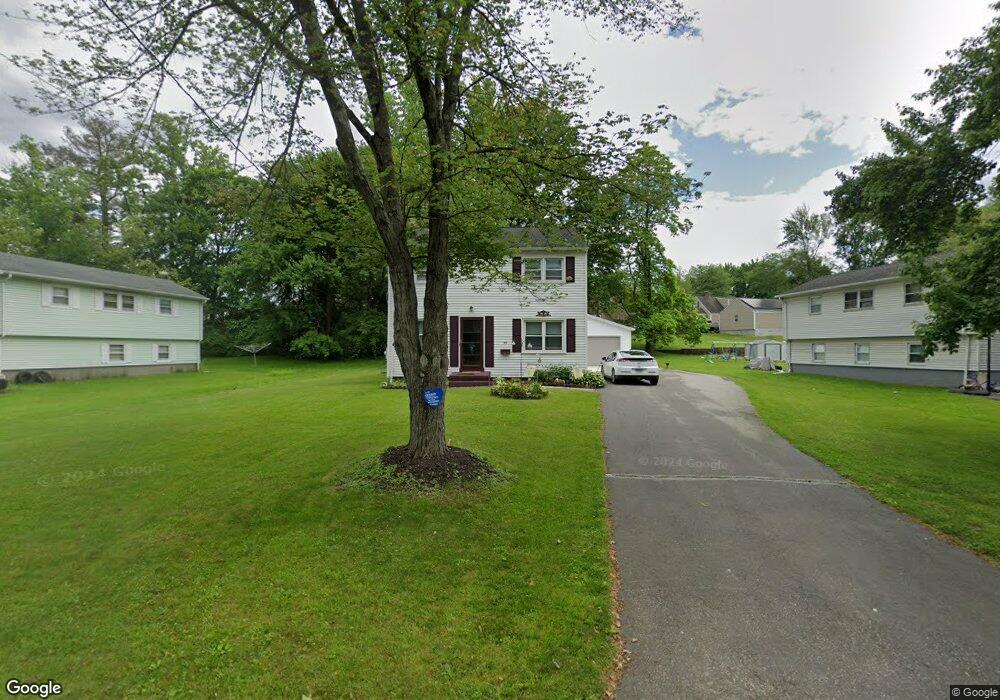
48 Arrowbrook Rd Windsor, CT 06095
Estimated Value: $314,000 - $360,000
3
Beds
2
Baths
1,560
Sq Ft
$215/Sq Ft
Est. Value
About This Home
This home is located at 48 Arrowbrook Rd, Windsor, CT 06095 and is currently estimated at $335,300, approximately $214 per square foot. 48 Arrowbrook Rd is a home located in Hartford County with nearby schools including Poquonock Elementary School, Clover Street School, and Sage Park Middle School.
Ownership History
Date
Name
Owned For
Owner Type
Purchase Details
Closed on
Mar 30, 2011
Sold by
Cassarino John N
Bought by
Cassarino John N and Cassarino Tiffany A
Current Estimated Value
Purchase Details
Closed on
Oct 9, 1987
Sold by
Dean Carla
Bought by
Cassarino John
Home Financials for this Owner
Home Financials are based on the most recent Mortgage that was taken out on this home.
Original Mortgage
$114,700
Interest Rate
10.33%
Mortgage Type
Purchase Money Mortgage
Create a Home Valuation Report for This Property
The Home Valuation Report is an in-depth analysis detailing your home's value as well as a comparison with similar homes in the area
Home Values in the Area
Average Home Value in this Area
Purchase History
| Date | Buyer | Sale Price | Title Company |
|---|---|---|---|
| Cassarino John N | -- | -- | |
| Cassarino John N | -- | -- | |
| Cassarino John | $127,500 | -- |
Source: Public Records
Mortgage History
| Date | Status | Borrower | Loan Amount |
|---|---|---|---|
| Previous Owner | Cassarino John | $114,700 | |
| Previous Owner | Cassarino John | $52,000 |
Source: Public Records
Tax History
| Year | Tax Paid | Tax Assessment Tax Assessment Total Assessment is a certain percentage of the fair market value that is determined by local assessors to be the total taxable value of land and additions on the property. | Land | Improvement |
|---|---|---|---|---|
| 2025 | $5,327 | $187,250 | $45,500 | $141,750 |
| 2024 | $5,677 | $187,250 | $45,500 | $141,750 |
| 2023 | $3,650 | $108,640 | $31,150 | $77,490 |
| 2022 | $3,614 | $108,640 | $31,150 | $77,490 |
| 2021 | $3,614 | $108,640 | $31,150 | $77,490 |
| 2020 | $3,597 | $108,640 | $31,150 | $77,490 |
| 2019 | $3,518 | $108,640 | $31,150 | $77,490 |
| 2018 | $3,415 | $103,600 | $31,150 | $72,450 |
| 2017 | $3,362 | $103,600 | $31,150 | $72,450 |
| 2016 | $3,265 | $103,600 | $31,150 | $72,450 |
| 2015 | $3,203 | $103,600 | $31,150 | $72,450 |
| 2014 | $3,157 | $103,600 | $31,150 | $72,450 |
Source: Public Records
Map
Nearby Homes
- 52 Arrowbrook Rd
- 44 Arrowbrook Rd
- 54 Arrowbrook Rd
- 24 Tanglewood Dr
- 22 Tanglewood Dr
- 40 Arrowbrook Rd
- 28 Tanglewood Dr
- 45 Arrowbrook Rd
- 20 Tanglewood Dr
- 49 Arrowbrook Rd
- 43 Arrowbrook Rd
- 58 Arrowbrook Rd
- 34 Arrowbrook Rd
- 30 Tanglewood Dr
- 59 Arrowbrook Rd
- 53 Arrowbrook Rd
- 39 Arrowbrook Rd
- 16 Tanglewood Dr
- 62 Arrowbrook Rd
- 34 Tanglewood Dr
Your Personal Tour Guide
Ask me questions while you tour the home.