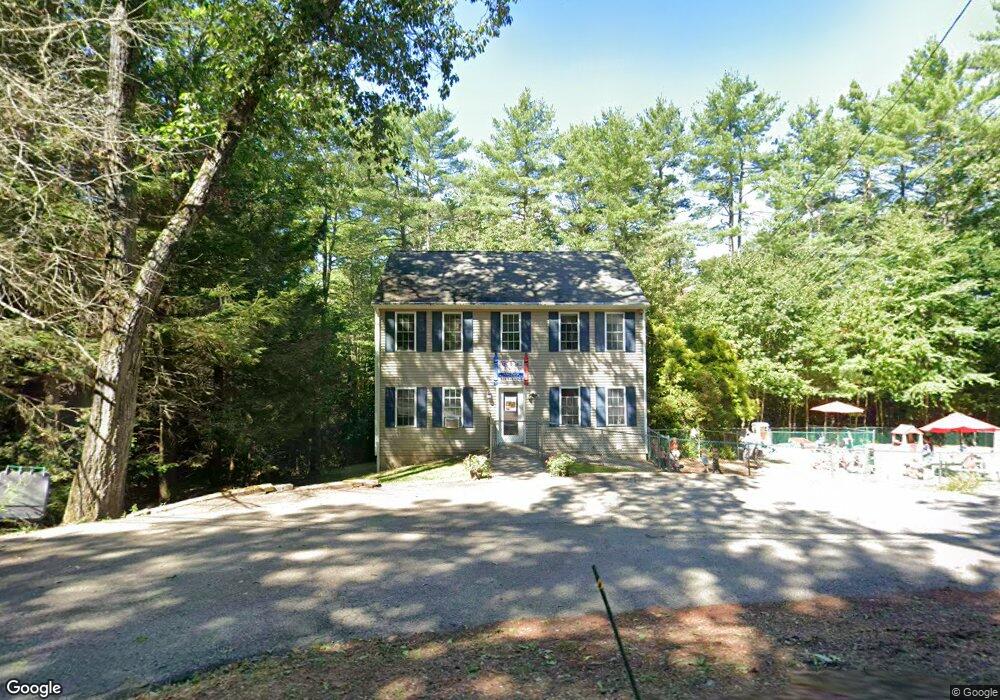
48 Barre Rd Hubbardston, MA 01452
Estimated Value: $452,036
3
Beds
2
Baths
1,536
Sq Ft
$294/Sq Ft
Est. Value
About This Home
This home is located at 48 Barre Rd, Hubbardston, MA 01452 and is currently estimated at $452,036, approximately $294 per square foot. 48 Barre Rd is a home located in Worcester County with nearby schools including Quabbin Regional Middle School and Quabbin Regional High School.
Ownership History
Date
Name
Owned For
Owner Type
Purchase Details
Closed on
Jun 29, 2007
Sold by
Jourdain Jennifer S and Jourdain Joseph M
Bought by
Welch James D and Welch Sandra
Current Estimated Value
Home Financials for this Owner
Home Financials are based on the most recent Mortgage that was taken out on this home.
Original Mortgage
$168,750
Outstanding Balance
$103,037
Interest Rate
6.24%
Mortgage Type
Purchase Money Mortgage
Estimated Equity
$348,999
Purchase Details
Closed on
Oct 29, 2002
Sold by
Vertical Constr
Bought by
Jourdain Joseph M and Jourdain Jennifer S
Home Financials for this Owner
Home Financials are based on the most recent Mortgage that was taken out on this home.
Original Mortgage
$160,000
Interest Rate
6.2%
Mortgage Type
Purchase Money Mortgage
Create a Home Valuation Report for This Property
The Home Valuation Report is an in-depth analysis detailing your home's value as well as a comparison with similar homes in the area
Home Values in the Area
Average Home Value in this Area
Purchase History
| Date | Buyer | Sale Price | Title Company |
|---|---|---|---|
| Welch James D | $225,000 | -- | |
| Welch James D | $225,000 | -- | |
| Jourdain Joseph M | $202,600 | -- | |
| Jourdain Joseph M | $202,600 | -- |
Source: Public Records
Mortgage History
| Date | Status | Borrower | Loan Amount |
|---|---|---|---|
| Open | Welch James D | $168,750 | |
| Closed | Jourdain Joseph M | $168,750 | |
| Previous Owner | Jourdain Joseph M | $162,000 | |
| Previous Owner | Jourdain Joseph M | $46,000 | |
| Previous Owner | Jourdain Joseph M | $160,000 |
Source: Public Records
Tax History Compared to Growth
Tax History
| Year | Tax Paid | Tax Assessment Tax Assessment Total Assessment is a certain percentage of the fair market value that is determined by local assessors to be the total taxable value of land and additions on the property. | Land | Improvement |
|---|---|---|---|---|
| 2025 | $4,025 | $344,600 | $50,200 | $294,400 |
| 2024 | $4,011 | $340,200 | $45,300 | $294,900 |
| 2023 | $3,354 | $257,400 | $39,700 | $217,700 |
| 2022 | $3,604 | $257,400 | $39,700 | $217,700 |
| 2021 | $3,612 | $243,900 | $39,700 | $204,200 |
| 2020 | $3,555 | $239,900 | $39,700 | $200,200 |
| 2019 | $3,563 | $234,100 | $54,100 | $180,000 |
| 2018 | $3,395 | $227,900 | $54,100 | $173,800 |
| 2017 | $3,471 | $227,900 | $54,100 | $173,800 |
| 2016 | $2,999 | $188,600 | $54,100 | $134,500 |
| 2015 | $2,974 | $199,300 | $54,100 | $145,200 |
| 2014 | $2,839 | $195,500 | $54,100 | $141,400 |
Source: Public Records
Map
Nearby Homes
- 75 Barre Rd
- 1 Barre Road Cut Off
- 105 Hale Rd
- 7 Williamsville Rd
- 63 Gardner Rd
- Lot 0 Old Westminster Rd
- 45 Old Colony Rd
- 85 Marsh Rd
- 2 Simon Davis Dr
- 0 Williamsville Rd
- 56 Hubbardston Rd
- 474 Valley Rd
- 35 Brintnal Dr
- 198 School St N
- 81 Glenwood Place
- 190 Summer St
- 0 Bentley Rd
- 5 Old Coldbrook Rd
- 73 Brintnal Dr
- 40 Brunelle Dr
- 46 Barre Rd
- 49 Barre Rd
- 47 Barre Rd
- 52 Barre Rd
- Lot 42 Barre Rd
- 51 Barre Rd
- 56 Barre Rd
- 4 Natty Brook Rd
- 3 Natty Brook Rd
- 2 Natty Brook Rd
- 1 Natty Brook Rd
- 3 Natty Brook Rd Unit 3
- 1 Natty Brook Rd Unit 1
- 2 Natty Brook Rd Unit 2
- 2 Natty Brook Rd Unit 2,1
- 3 Natty Brook Rd Unit 3, 1
- 4 Natty Brook Rd Unit 4-2
- 8 Natty Brook Rd
- 7 Natty Brook Rd
- 6 Natty Brook Rd