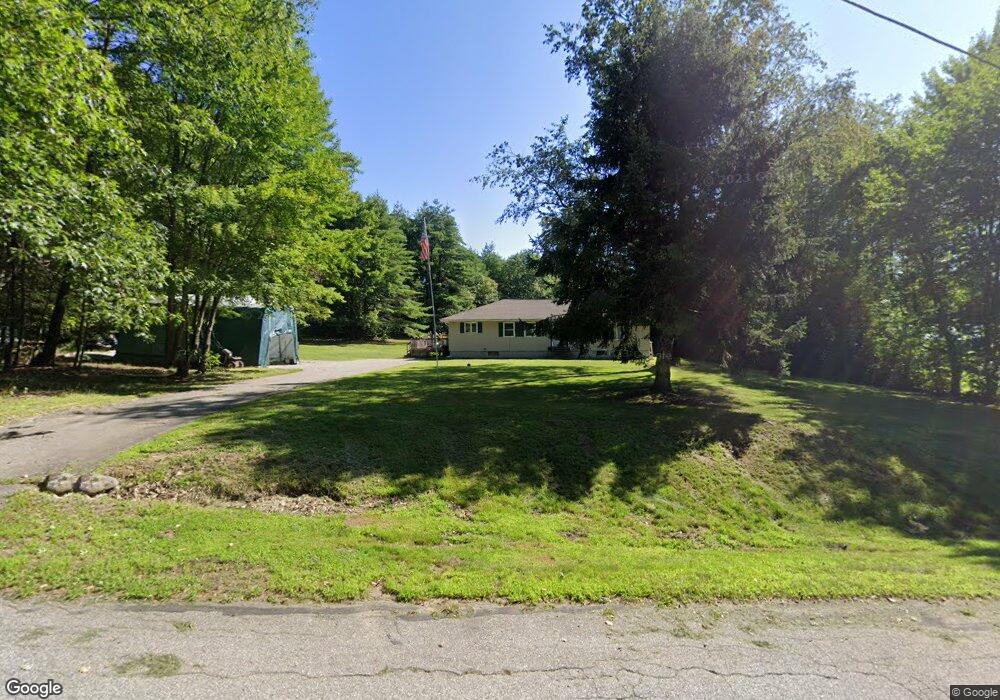
48 Brookside Dr Salisbury, NH 03268
Estimated Value: $317,000 - $432,000
3
Beds
2
Baths
1,720
Sq Ft
$230/Sq Ft
Est. Value
About This Home
This home is located at 48 Brookside Dr, Salisbury, NH 03268 and is currently estimated at $395,826, approximately $230 per square foot. 48 Brookside Dr is a home located in Merrimack County with nearby schools including Salisbury Elementary School, Merrimack Valley Middle School, and Merrimack Valley High School.
Ownership History
Date
Name
Owned For
Owner Type
Purchase Details
Closed on
Sep 29, 2017
Sold by
Zinck Janice L
Bought by
Girard Nicholas C and Zinck Nathan B
Current Estimated Value
Home Financials for this Owner
Home Financials are based on the most recent Mortgage that was taken out on this home.
Original Mortgage
$108,000
Outstanding Balance
$89,512
Interest Rate
3.89%
Mortgage Type
New Conventional
Estimated Equity
$306,314
Create a Home Valuation Report for This Property
The Home Valuation Report is an in-depth analysis detailing your home's value as well as a comparison with similar homes in the area
Home Values in the Area
Average Home Value in this Area
Purchase History
| Date | Buyer | Sale Price | Title Company |
|---|---|---|---|
| Girard Nicholas C | $135,000 | -- |
Source: Public Records
Mortgage History
| Date | Status | Borrower | Loan Amount |
|---|---|---|---|
| Open | Girard Nicholas C | $108,000 |
Source: Public Records
Tax History
| Year | Tax Paid | Tax Assessment Tax Assessment Total Assessment is a certain percentage of the fair market value that is determined by local assessors to be the total taxable value of land and additions on the property. | Land | Improvement |
|---|---|---|---|---|
| 2025 | $5,708 | $318,700 | $105,000 | $213,700 |
| 2024 | $5,134 | $316,700 | $105,000 | $211,700 |
| 2023 | $5,284 | $326,200 | $114,500 | $211,700 |
| 2022 | $5,206 | $326,200 | $114,500 | $211,700 |
| 2021 | $4,593 | $193,400 | $63,000 | $130,400 |
| 2020 | $4,758 | $193,400 | $63,000 | $130,400 |
| 2019 | $4,482 | $193,700 | $63,000 | $130,700 |
| 2018 | $4,505 | $193,700 | $63,000 | $130,700 |
| 2017 | $4,649 | $193,700 | $63,000 | $130,700 |
| 2016 | $4,062 | $165,400 | $55,000 | $110,400 |
| 2015 | $4,042 | $166,800 | $55,000 | $111,800 |
| 2014 | $3,886 | $166,800 | $55,000 | $111,800 |
| 2012 | $4,028 | $166,800 | $55,000 | $111,800 |
Source: Public Records
Map
Nearby Homes
- 350 South Rd
- 233 Hensmith Rd
- Map 25 Lot 4 Hensmith Rd
- Map 25 Lot 5 Hensmith Rd
- Map25 Lot 7 Hensmith Rd
- Map 25 Lot 3 Hensmith Rd
- Map 25 Lot 6 Hensmith Rd
- 535 Old Turnpike Rd
- 11 White Plains Rd
- 46 New Rd Unit 5
- 179 New Rd
- 516 W Salisbury Rd
- 11 Raccoon Hill Rd
- 25 Merrill Corner Rd
- Map 6, Lot 38 Chadwick Hill Rd
- 428 North Rd
- 20 Water St
- 19 Bailey Dr
- 64 Forest Ln
- 122 Centennial Dr
Your Personal Tour Guide
Ask me questions while you tour the home.