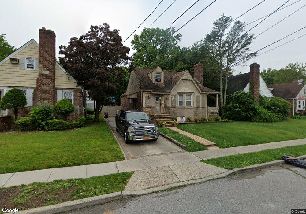
48 Carol St West Hempstead, NY 11552
Estimated Value: $602,247 - $709,000
--
Bed
2
Baths
1,604
Sq Ft
$409/Sq Ft
Est. Value
About This Home
This home is located at 48 Carol St, West Hempstead, NY 11552 and is currently estimated at $655,624, approximately $408 per square foot. 48 Carol St is a home located in Nassau County with nearby schools including Davison Avenue Intermediate School, Maurice W. Downing Primary K-2 School, and Howard T Herber Middle School.
Ownership History
Date
Name
Owned For
Owner Type
Purchase Details
Closed on
Oct 6, 2006
Sold by
Hill Carolyn
Current Estimated Value
Purchase Details
Closed on
Oct 12, 2004
Sold by
Gomes Arlindo
Bought by
Beaubrun Ralph
Purchase Details
Closed on
Feb 17, 2004
Sold by
Cameron Lindsay
Bought by
Hill Carolyn
Purchase Details
Closed on
Oct 10, 2002
Sold by
Cox Diahann
Bought by
Gomes Arlindo
Purchase Details
Closed on
Oct 23, 2001
Purchase Details
Closed on
Sep 20, 2001
Create a Home Valuation Report for This Property
The Home Valuation Report is an in-depth analysis detailing your home's value as well as a comparison with similar homes in the area
Home Values in the Area
Average Home Value in this Area
Purchase History
| Date | Buyer | Sale Price | Title Company |
|---|---|---|---|
| -- | -- | -- | |
| Beaubrun Ralph | $416,000 | -- | |
| Hill Carolyn | $334,950 | -- | |
| Gomes Arlindo | $260,000 | -- | |
| -- | -- | -- | |
| -- | -- | -- |
Source: Public Records
Tax History Compared to Growth
Tax History
| Year | Tax Paid | Tax Assessment Tax Assessment Total Assessment is a certain percentage of the fair market value that is determined by local assessors to be the total taxable value of land and additions on the property. | Land | Improvement |
|---|---|---|---|---|
| 2025 | $11,655 | $423 | $143 | $280 |
| 2024 | $4,575 | $460 | $155 | $305 |
| 2023 | $11,392 | $460 | $155 | $305 |
| 2022 | $11,392 | $460 | $155 | $305 |
| 2021 | $14,922 | $434 | $146 | $288 |
| 2020 | $10,816 | $588 | $419 | $169 |
| 2019 | $10,277 | $588 | $419 | $169 |
| 2018 | $9,590 | $588 | $0 | $0 |
| 2017 | $7,151 | $770 | $419 | $351 |
| 2016 | $11,681 | $770 | $419 | $351 |
| 2015 | $4,238 | $770 | $419 | $351 |
| 2014 | $4,238 | $770 | $419 | $351 |
| 2013 | $3,991 | $770 | $419 | $351 |
Source: Public Records
Map
Nearby Homes
- 49 Carol St
- 5 Juliette Rd
- 312 Coventry Rd S
- 301 Coventry Rd N
- 55 Melvin Ave
- 841 Woodfield Rd
- 394 Pinebrook Ave
- 10 Pinebrook Ave
- 815 Sunshine Ave
- 1024 Mahopac Rd
- 1070 Mahopac Rd
- 486 Champlain Ave
- 450 Rhodes Ln
- 0 Rhodes Ln
- 461 Pinebrook Ave
- 7 Hopatcong Ave
- 419 Coolidge Ave
- 1090 Pinebrook Ct
- 402 Clinton Ave
- 924 Otsego Ct