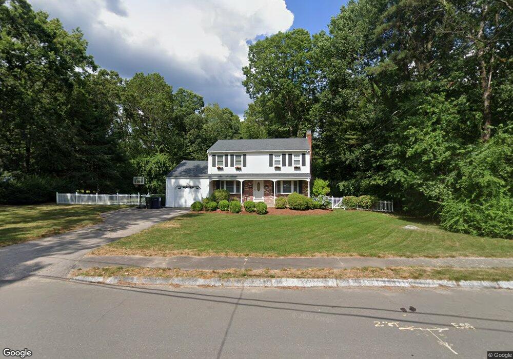
48 Carroll Dr Foxboro, MA 02035
Estimated Value: $648,989 - $767,000
4
Beds
2
Baths
1,600
Sq Ft
$448/Sq Ft
Est. Value
About This Home
This home is located at 48 Carroll Dr, Foxboro, MA 02035 and is currently estimated at $716,747, approximately $447 per square foot. 48 Carroll Dr is a home located in Norfolk County with nearby schools including Foxborough High School, Foxborough Regional Charter School, and The Sage School.
Ownership History
Date
Name
Owned For
Owner Type
Purchase Details
Closed on
Jan 17, 2008
Sold by
Curran Karen M and Curran Andrew W
Bought by
Callahan Kerrie M
Current Estimated Value
Home Financials for this Owner
Home Financials are based on the most recent Mortgage that was taken out on this home.
Original Mortgage
$270,000
Interest Rate
6.02%
Mortgage Type
Purchase Money Mortgage
Purchase Details
Closed on
Dec 21, 1998
Sold by
Miller Richard W and Miller Barbara J
Bought by
Curran Karen M and Curran Andrew W
Home Financials for this Owner
Home Financials are based on the most recent Mortgage that was taken out on this home.
Original Mortgage
$215,650
Interest Rate
6.85%
Mortgage Type
Purchase Money Mortgage
Create a Home Valuation Report for This Property
The Home Valuation Report is an in-depth analysis detailing your home's value as well as a comparison with similar homes in the area
Home Values in the Area
Average Home Value in this Area
Purchase History
| Date | Buyer | Sale Price | Title Company |
|---|---|---|---|
| Callahan Kerrie M | $400,000 | -- | |
| Curran Karen M | $227,000 | -- |
Source: Public Records
Mortgage History
| Date | Status | Borrower | Loan Amount |
|---|---|---|---|
| Open | Curran Karen M | $275,500 | |
| Closed | Callahan Kerrie M | $270,000 | |
| Previous Owner | Curran Karen M | $32,000 | |
| Previous Owner | Curran Karen M | $215,650 |
Source: Public Records
Tax History Compared to Growth
Tax History
| Year | Tax Paid | Tax Assessment Tax Assessment Total Assessment is a certain percentage of the fair market value that is determined by local assessors to be the total taxable value of land and additions on the property. | Land | Improvement |
|---|---|---|---|---|
| 2025 | $7,114 | $538,100 | $242,800 | $295,300 |
| 2024 | $7,116 | $526,700 | $247,200 | $279,500 |
| 2023 | $6,889 | $484,800 | $235,400 | $249,400 |
| 2022 | $6,368 | $438,600 | $197,300 | $241,300 |
| 2021 | $6,192 | $420,100 | $182,700 | $237,400 |
| 2020 | $6,006 | $412,200 | $182,700 | $229,500 |
| 2019 | $5,736 | $390,200 | $174,000 | $216,200 |
| 2018 | $5,599 | $384,300 | $174,000 | $210,300 |
| 2017 | $5,399 | $359,000 | $162,600 | $196,400 |
| 2016 | $5,341 | $360,400 | $164,000 | $196,400 |
| 2015 | $5,241 | $345,000 | $138,700 | $206,300 |
| 2014 | $4,975 | $331,900 | $129,600 | $202,300 |
Source: Public Records
Map
Nearby Homes
- 186 Mechanic St
- 89 Oak St
- 14 Winter St Unit B
- 84 Cocasset St Unit A6
- 18 Winter St Unit E
- 1 Eisenhauer Ln
- 14 Foxhill Rd
- 170 Cannon Forge Dr
- 11 W Belcher Rd Unit 2
- 132 Cannon Forge Dr
- 24 Mechanic St
- 9 Independence Dr Unit 9
- 1 Roseland St Unit A-1
- 73 Ridge Rd
- 35 Independence Dr Unit 35
- 14 Baker St
- 11 Orchard Place Unit 11
- 35 Shoreline Dr
- 12 Community Way
- 2 Thompson Rd