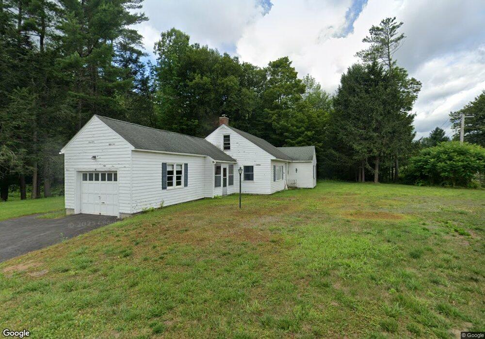
48 Coburn St Colrain, MA 01340
Colrain NeighborhoodEstimated Value: $188,000 - $304,000
1
Bed
2
Baths
1,130
Sq Ft
$229/Sq Ft
Est. Value
About This Home
This home is located at 48 Coburn St, Colrain, MA 01340 and is currently estimated at $259,001, approximately $229 per square foot. 48 Coburn St is a home located in Franklin County with nearby schools including Mohawk Trail Regional High School.
Ownership History
Date
Name
Owned For
Owner Type
Purchase Details
Closed on
Oct 2, 2023
Sold by
Herzig Robert and Herzig Charles R
Bought by
Herzig Eric C and Herzig Karen C
Current Estimated Value
Purchase Details
Closed on
Feb 28, 2014
Sold by
Herzig Int and Herzig H
Bought by
Herzig Robert C
Purchase Details
Closed on
Jan 25, 2008
Sold by
Herzig Russell L
Bought by
Herzig Int and Herzig H
Purchase Details
Closed on
Apr 3, 1991
Sold by
Coburn Helena P
Bought by
Herzig Robert
Create a Home Valuation Report for This Property
The Home Valuation Report is an in-depth analysis detailing your home's value as well as a comparison with similar homes in the area
Home Values in the Area
Average Home Value in this Area
Purchase History
| Date | Buyer | Sale Price | Title Company |
|---|---|---|---|
| Herzig Eric C | -- | None Available | |
| Herzig Robert C | -- | -- | |
| Herzig Int | -- | -- | |
| Herzig Robert | $60,000 | -- |
Source: Public Records
Tax History
| Year | Tax Paid | Tax Assessment Tax Assessment Total Assessment is a certain percentage of the fair market value that is determined by local assessors to be the total taxable value of land and additions on the property. | Land | Improvement |
|---|---|---|---|---|
| 2025 | $3,818 | $209,100 | $40,300 | $168,800 |
| 2024 | $3,396 | $178,900 | $40,300 | $138,600 |
| 2023 | $3,506 | $178,600 | $40,300 | $138,300 |
| 2022 | $3,564 | $174,000 | $35,700 | $138,300 |
| 2021 | $3,390 | $160,200 | $35,700 | $124,500 |
| 2020 | $3,093 | $155,200 | $35,700 | $119,500 |
| 2019 | $3,143 | $152,800 | $35,700 | $117,100 |
| 2018 | $3,093 | $152,800 | $35,700 | $117,100 |
| 2017 | $3,010 | $152,800 | $35,700 | $117,100 |
| 2016 | $2,761 | $147,800 | $35,700 | $112,100 |
| 2015 | $2,674 | $147,800 | $35,700 | $112,100 |
Source: Public Records
Map
Nearby Homes
- 295 Jacksonville Rd
- 71 George Lamb Rd
- 2155 Massachusetts 2
- 8 Deer Run Path
- 2151 Route 2
- 23 E Brook Dr
- 151 Smead Hill Rd
- 3 Flagg Hill Rd
- 30 Main St
- 9 Hancock Ln
- 10 Deerfield Ave Unit 2
- 0 W Oxbow Rd Unit 73453651
- 0 W Oxbow Rd Unit 248444
- 714 Colrain Rd
- 24 W Oxbow Rd
- 251 Phillips Hill Rd
- 25 Barton Rd
- 13 Bray Rd
- 829 Pennel Hill Rd
- 14 South Rd
Your Personal Tour Guide
Ask me questions while you tour the home.