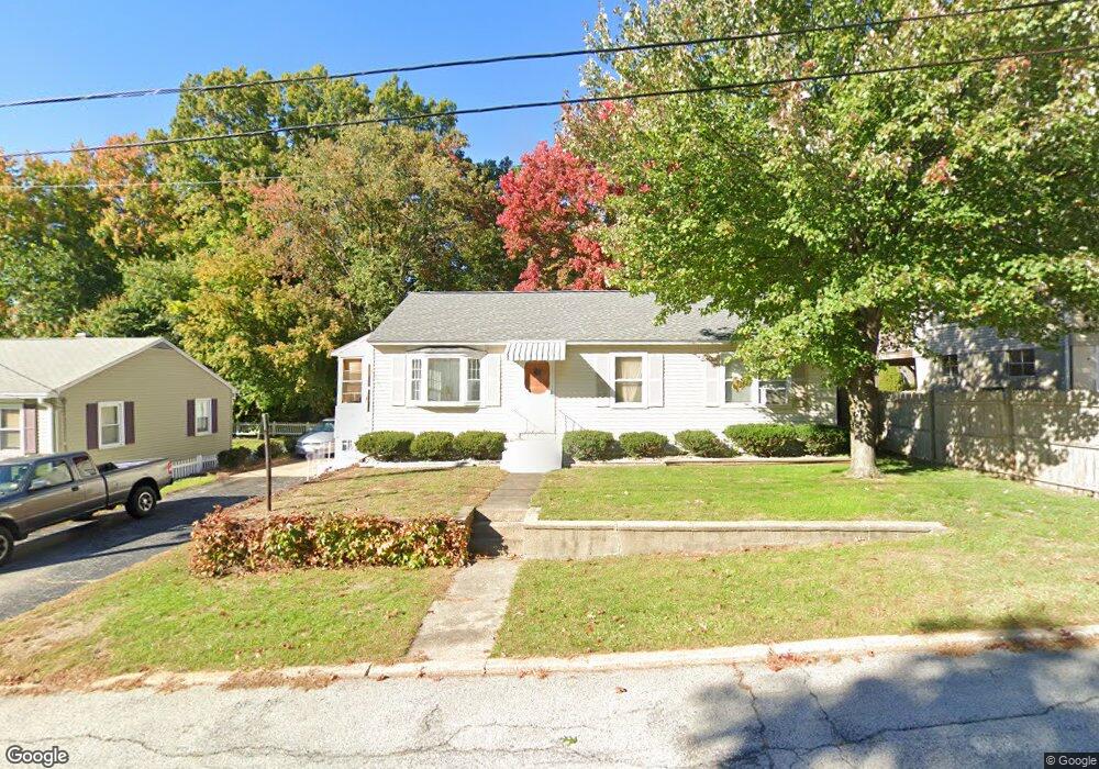
48 Constant St Manchester, NH 03103
Southside NeighborhoodEstimated Value: $379,000 - $432,000
About This Home
This home is located at 48 Constant St, Manchester, NH 03103 and is currently estimated at $409,952, approximately $379 per square foot. 48 Constant St is a home located in Hillsborough County with nearby schools including Jewett Street Elementary School, Southside Middle School, and Manchester Memorial High School.
Ownership History
We collect this data history from publicly available records. To have your information removed, we recommend requesting removal directly through your county’s website.
Purchase Details
Home Values in the Area
Average Home Value in this Area
Purchase History
We collect this data history from publicly available records. To have your information removed, we recommend requesting removal directly through your county’s website.
| Date | Buyer | Sale Price | Title Company |
|---|---|---|---|
| $95,000 | -- |
Mortgage History
We collect this data history from publicly available records. To have your information removed, we recommend requesting removal directly through your county’s website.
| Date | Status | Borrower | Loan Amount |
|---|---|---|---|
| Open | $170,635 | ||
| Closed | $171,762 | ||
| Closed | $25,000 |
Tax History
We collect this data history from publicly available records. To have your information removed, we recommend requesting removal directly through your county’s website.
| Year | Tax Paid | Tax Assessment Tax Assessment Total Assessment is a certain percentage of the fair market value that is determined by local assessors to be the total taxable value of land and additions on the property. | Land | Improvement |
|---|---|---|---|---|
| 2024 | $5,185 | $264,800 | $100,500 | $164,300 |
| 2023 | $4,994 | $264,800 | $100,500 | $164,300 |
| 2022 | $4,830 | $264,800 | $100,500 | $164,300 |
| 2021 | $4,682 | $264,800 | $100,500 | $164,300 |
| 2020 | $4,306 | $174,600 | $69,300 | $105,300 |
| 2019 | $4,246 | $174,600 | $69,300 | $105,300 |
| 2018 | $4,135 | $174,600 | $69,300 | $105,300 |
| 2017 | $4,072 | $174,600 | $69,300 | $105,300 |
| 2016 | $4,040 | $174,600 | $69,300 | $105,300 |
| 2015 | $4,006 | $170,900 | $64,200 | $106,700 |
| 2014 | $4,016 | $170,900 | $64,200 | $106,700 |
| 2013 | $3,874 | $170,900 | $64,200 | $106,700 |
Map
- 123 S Jewett St
- 65 Lucille St
- 130 Manning St
- 40 Mcguigan Ave
- 434 Cilley Rd
- 44 Brook Hollow Way
- 107 S Wilson St
- 161 S Gray St
- 109 Weston Rd
- 852 Clay St
- 51 Kilby St
- 210 Circle Rd Unit 3
- 128 Holly Ave
- 594 Dix St Unit 2
- 141 Hoyt St
- 763 Silver St
- 237 Stanton St
- 109 Purchase St
- 637 Harvard St
- 380 Mystic St
Ask me questions while you tour the home.