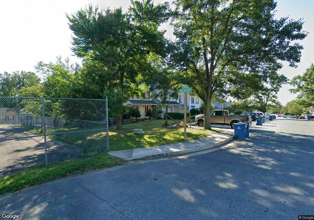
48 Cypress Dr North East, MD 21901
Estimated Value: $155,000 - $220,000
--
Bed
2
Baths
1,120
Sq Ft
$175/Sq Ft
Est. Value
About This Home
This home is located at 48 Cypress Dr, North East, MD 21901 and is currently estimated at $196,334, approximately $175 per square foot. 48 Cypress Dr is a home located in Cecil County with nearby schools including Bay View Elementary School, North East Middle School, and North East High School.
Ownership History
Date
Name
Owned For
Owner Type
Purchase Details
Closed on
Jan 16, 2004
Sold by
Wells Fargo Home Mortgage Inc
Bought by
Ayers Donna and Ayers Philip
Current Estimated Value
Purchase Details
Closed on
Jan 7, 2004
Sold by
Hibbitts Earl
Bought by
Wells Fargo Home Mortgage Inc
Purchase Details
Closed on
Jun 24, 2002
Sold by
D & W Investors Llc
Bought by
Hibbitts Earl
Purchase Details
Closed on
Jun 26, 1998
Sold by
Wilson Leonard E
Bought by
D & W Investors Llc
Purchase Details
Closed on
Dec 22, 1997
Sold by
The Secretary Of The United States
Bought by
Wilson Leonard E
Purchase Details
Closed on
Oct 31, 1997
Sold by
Cannon Percy L
Bought by
The Secretary Of The United States and Department Of Housing & Urban Dev
Create a Home Valuation Report for This Property
The Home Valuation Report is an in-depth analysis detailing your home's value as well as a comparison with similar homes in the area
Home Values in the Area
Average Home Value in this Area
Purchase History
| Date | Buyer | Sale Price | Title Company |
|---|---|---|---|
| Ayers Donna | $86,000 | -- | |
| Wells Fargo Home Mortgage Inc | $82,900 | -- | |
| Hibbitts Earl | $95,000 | -- | |
| D & W Investors Llc | $62,900 | -- | |
| Wilson Leonard E | $60,000 | -- | |
| The Secretary Of The United States | $71,000 | -- |
Source: Public Records
Mortgage History
| Date | Status | Borrower | Loan Amount |
|---|---|---|---|
| Closed | D & W Investors Llc | -- |
Source: Public Records
Tax History Compared to Growth
Tax History
| Year | Tax Paid | Tax Assessment Tax Assessment Total Assessment is a certain percentage of the fair market value that is determined by local assessors to be the total taxable value of land and additions on the property. | Land | Improvement |
|---|---|---|---|---|
| 2025 | $2,651 | $147,100 | $0 | $0 |
| 2024 | $2,458 | $135,700 | $0 | $0 |
| 2023 | $2,279 | $124,300 | $38,000 | $86,300 |
| 2022 | $2,228 | $121,700 | $0 | $0 |
| 2021 | $2,147 | $119,100 | $0 | $0 |
| 2020 | $2,060 | $116,500 | $35,000 | $81,500 |
| 2019 | $2,060 | $113,500 | $0 | $0 |
| 2018 | $2,005 | $110,500 | $0 | $0 |
| 2017 | $1,951 | $107,500 | $0 | $0 |
| 2016 | $1,750 | $104,400 | $0 | $0 |
| 2015 | $1,750 | $101,300 | $0 | $0 |
| 2014 | $2,248 | $98,200 | $0 | $0 |
Source: Public Records
Map
Nearby Homes
- 51 Hickory Dr
- 0 Pulaski Hwy
- 2515 Pulaski Hwy
- parcel # 66 Rolling Mill Ln
- 57 Falls Rd
- 0 Mallory Way Unit MDCC2003990
- 0 Mallory Way Unit MDCC169342
- 653 Mechanics Valley Rd
- 14 Mallory Way Unit WYNDHAM
- 511 Deans Bank Rd
- 15 S Mauldin Ave
- 62 Rehill Ave
- 162 Razor Strap Rd
- 10 Trail Wood Ct
- 37 Aspen Dr
- 29 Aspen Dr
- 9 Aspen Dr
- Coral Plan at Northwoods - Seasons
- 31 Poplar Ct
- Lapis Plan at Northwoods - Seasons