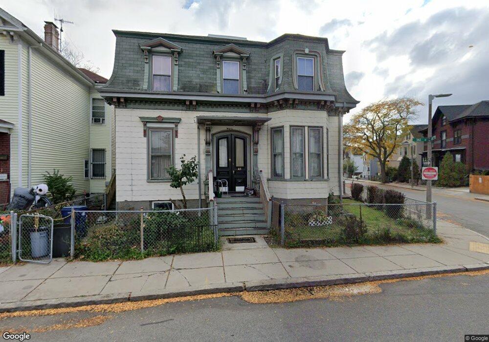
48 Dale St Roxbury, MA 02119
Washington Park NeighborhoodEstimated Value: $572,861 - $812,000
5
Beds
1
Bath
2,348
Sq Ft
$293/Sq Ft
Est. Value
About This Home
This home is located at 48 Dale St, Roxbury, MA 02119 and is currently estimated at $688,465, approximately $293 per square foot. 48 Dale St is a home located in Suffolk County with nearby schools including Bridge Boston Charter School and City on a Hill Charter Public School.
Create a Home Valuation Report for This Property
The Home Valuation Report is an in-depth analysis detailing your home's value as well as a comparison with similar homes in the area
Home Values in the Area
Average Home Value in this Area
Tax History Compared to Growth
Tax History
| Year | Tax Paid | Tax Assessment Tax Assessment Total Assessment is a certain percentage of the fair market value that is determined by local assessors to be the total taxable value of land and additions on the property. | Land | Improvement |
|---|---|---|---|---|
| 2025 | $4,051 | $349,800 | $138,200 | $211,600 |
| 2024 | $4,061 | $372,600 | $133,500 | $239,100 |
| 2023 | $4,002 | $372,600 | $133,500 | $239,100 |
| 2022 | $3,791 | $348,400 | $124,800 | $223,600 |
| 2021 | $3,586 | $336,100 | $122,400 | $213,700 |
| 2020 | $3,169 | $300,100 | $115,400 | $184,700 |
| 2019 | $2,955 | $280,400 | $97,100 | $183,300 |
| 2018 | $2,746 | $262,000 | $97,100 | $164,900 |
| 2017 | $2,693 | $254,300 | $97,100 | $157,200 |
| 2016 | $2,664 | $242,200 | $97,100 | $145,100 |
| 2015 | $2,135 | $176,300 | $70,500 | $105,800 |
| 2014 | $2,152 | $171,100 | $70,500 | $100,600 |
Source: Public Records
Map
Nearby Homes
- 94 Walnut Ave
- 10 Rockland St Unit 4
- 30 Copeland St Unit 1
- 7 Langford Park Unit 3
- 59 Perrin St
- 59 Perrin St Unit 1
- 90 Munroe St
- 33 Copeland Park Unit C
- 22 Rockville Park
- 20 Rockville Park
- 22 Alaska St
- 31 Alaska St
- 37 Regent St Unit 2
- 62 Clifford St Unit A
- 16 Mayfair St
- 133 Blue Hill Ave
- 151 Townsend St
- 119 Blue Hill Ave
- Lot 84 Blue Hill Ave
- 99 Harrishof St