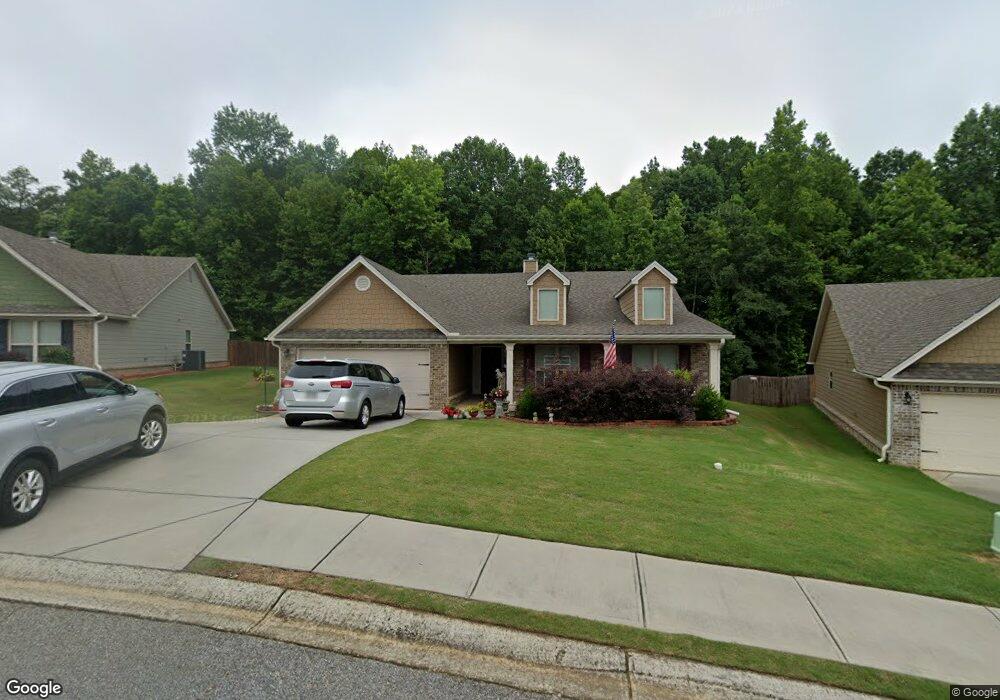
48 Dockside Dr Unit 38 Statham, GA 30666
Estimated Value: $361,669 - $419,000
4
Beds
3
Baths
2,220
Sq Ft
$170/Sq Ft
Est. Value
About This Home
This home is located at 48 Dockside Dr Unit 38, Statham, GA 30666 and is currently estimated at $378,167, approximately $170 per square foot. 48 Dockside Dr Unit 38 is a home located in Barrow County with nearby schools including Statham Elementary School, Bear Creek Middle School, and Winder-Barrow High School.
Ownership History
Date
Name
Owned For
Owner Type
Purchase Details
Closed on
Oct 4, 2018
Sold by
Southfork Homes Llc
Bought by
Cochran Scott D and Cochran Donna Dotson
Current Estimated Value
Home Financials for this Owner
Home Financials are based on the most recent Mortgage that was taken out on this home.
Original Mortgage
$106,028
Outstanding Balance
$91,889
Interest Rate
4.5%
Mortgage Type
New Conventional
Estimated Equity
$286,278
Purchase Details
Closed on
Feb 14, 2018
Sold by
Embassy Development Llc
Bought by
Southfork Homes Llc
Create a Home Valuation Report for This Property
The Home Valuation Report is an in-depth analysis detailing your home's value as well as a comparison with similar homes in the area
Home Values in the Area
Average Home Value in this Area
Purchase History
| Date | Buyer | Sale Price | Title Company |
|---|---|---|---|
| Cochran Scott D | $203,900 | -- | |
| Southfork Homes Llc | $29,000 | -- |
Source: Public Records
Mortgage History
| Date | Status | Borrower | Loan Amount |
|---|---|---|---|
| Open | Cochran Scott D | $106,028 |
Source: Public Records
Tax History
| Year | Tax Paid | Tax Assessment Tax Assessment Total Assessment is a certain percentage of the fair market value that is determined by local assessors to be the total taxable value of land and additions on the property. | Land | Improvement |
|---|---|---|---|---|
| 2025 | $4,304 | $138,942 | $20,800 | $118,142 |
| 2024 | $3,934 | $135,448 | $20,800 | $114,648 |
| 2023 | $2,949 | $135,448 | $20,800 | $114,648 |
| 2022 | $2,957 | $103,614 | $20,800 | $82,814 |
| 2021 | $2,772 | $91,327 | $18,000 | $73,327 |
| 2020 | $2,483 | $81,841 | $18,000 | $63,841 |
| 2019 | $2,429 | $79,028 | $18,000 | $61,028 |
| 2018 | $245 | $9,680 | $7,680 | $2,000 |
| 2017 | $268 | $7,680 | $7,680 | $0 |
Source: Public Records
Map
Nearby Homes
- 139 Goldshore Way
- 38 Goldshore Way
- 210 Charlotte Cir
- 174 Charlotte Cir
- 190 Charlotte Cir
- 133 Charlotte Dr
- 406 Ellerbe Dr Unit 3
- 115 Charlotte Dr
- 95 Charlotte Dr
- 1975 Broad St
- 235 1st St
- 304 Seminole Cir
- 0 1st St Unit 10689434
- 0 1st St Unit 7713343
- 16 Georgia Highway 211
- 1907 Broad St
- 619 Graham Campbell Ln
- 226 Baker St
- 1812 Oak Spring St
- 2124 Broad St
- 68 Dockside Dr
- 53 Dockside Dr Unit 55
- 25 Dockside Dr
- 25 Dockside Dr Unit 56
- 120 Goldshore Way Unit 36
- 120 Goldshore Way
- 110 Goldshore Way Unit 35
- 110 Goldshore Way
- 80 Dockside Dr Unit 41
- 98 Goldshore Way Unit 34
- 75 Dockside Dr Unit 54
- 17 Dockside Dr
- 88 Goldshore Way Unit 33
- 88 Goldshore Way
- 92 Dockside Dr Unit 42
- 87 Dockside Dr Unit 53
- 6 Goldshore Way
- 97 Dockside Dr Unit 52
- 104 Dockside Dr Unit 43
- 125 Goldshore Way Unit 13
Your Personal Tour Guide
Ask me questions while you tour the home.