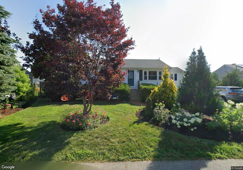
48 Donald Rd Marshfield, MA 02050
Ocean Bluff-Brant Rock NeighborhoodEstimated Value: $673,863 - $701,000
3
Beds
2
Baths
1,504
Sq Ft
$460/Sq Ft
Est. Value
About This Home
This home is located at 48 Donald Rd, Marshfield, MA 02050 and is currently estimated at $691,966, approximately $460 per square foot. 48 Donald Rd is a home with nearby schools including Governor Edward Winslow School, Furnace Brook Middle School, and Marshfield High School.
Create a Home Valuation Report for This Property
The Home Valuation Report is an in-depth analysis detailing your home's value as well as a comparison with similar homes in the area
Home Values in the Area
Average Home Value in this Area
Tax History
| Year | Tax Paid | Tax Assessment Tax Assessment Total Assessment is a certain percentage of the fair market value that is determined by local assessors to be the total taxable value of land and additions on the property. | Land | Improvement |
|---|---|---|---|---|
| 2025 | $5,678 | $573,500 | $319,500 | $254,000 |
| 2024 | $5,483 | $527,700 | $299,500 | $228,200 |
| 2023 | $4,886 | $480,000 | $269,600 | $210,400 |
| 2022 | $4,886 | $377,300 | $229,600 | $147,700 |
| 2021 | $4,675 | $354,400 | $219,600 | $134,800 |
| 2020 | $4,288 | $321,700 | $189,700 | $132,000 |
| 2019 | $4,094 | $306,000 | $189,700 | $116,300 |
| 2018 | $4,034 | $301,700 | $189,700 | $112,000 |
| 2017 | $3,883 | $283,000 | $179,700 | $103,300 |
| 2016 | $3,631 | $261,600 | $169,700 | $91,900 |
| 2015 | $3,377 | $254,100 | $169,700 | $84,400 |
| 2014 | $3,321 | $249,900 | $169,700 | $80,200 |
Source: Public Records
Map
Nearby Homes
- 78 Tower Ave
- 17 Dyke Rd
- 122 June St
- 116 Island St
- 106 Careswell St
- 32 Gratto Rd
- 85 Constitution Rd
- 71 Gurnet Rd
- 116 Outlook Rd
- 30 Chandler Dr
- 42 Carr Rd
- 86 Barouche Dr
- 155 Quincy Ave
- 7 Pierce Rd
- 92 Salt Meadow Waye
- 184 King Phillips Pathe
- 290 S River St
- 431 Moraine St
- 242 Enterprise St
- 1192 S River St
Your Personal Tour Guide
Ask me questions while you tour the home.