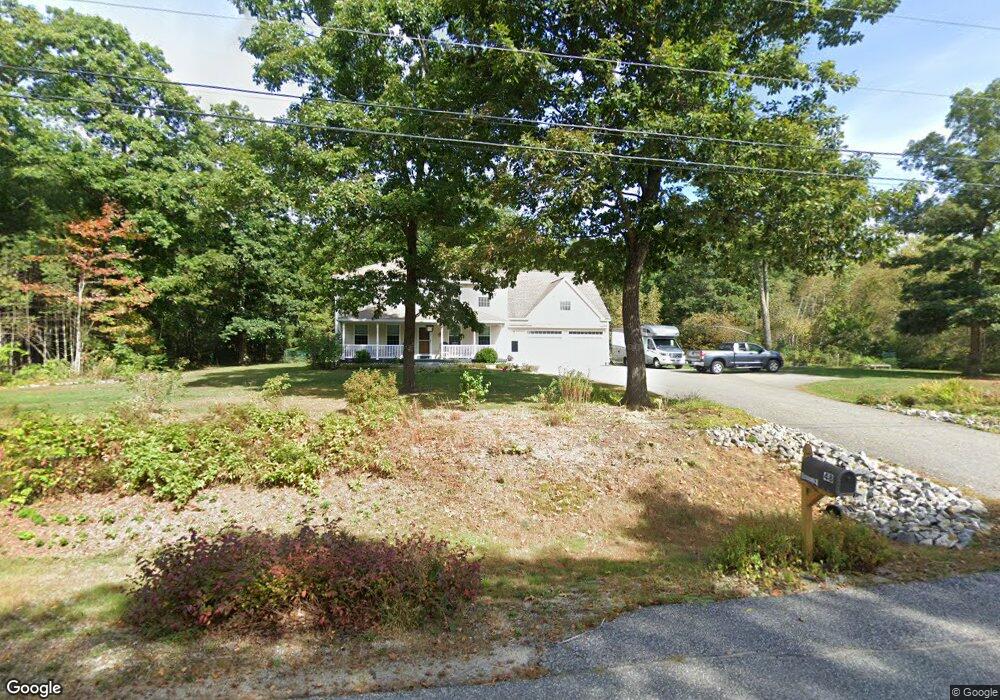
48 Douglas Dr New Gloucester, ME 04260
Estimated Value: $479,055 - $783,000
5
Beds
3
Baths
2,800
Sq Ft
$208/Sq Ft
Est. Value
About This Home
This home is located at 48 Douglas Dr, New Gloucester, ME 04260 and is currently estimated at $582,764, approximately $208 per square foot. 48 Douglas Dr is a home located in Cumberland County with nearby schools including Gray-New Gloucester High School and Fiddlehead School of Arts & Science.
Ownership History
Date
Name
Owned For
Owner Type
Purchase Details
Closed on
Dec 7, 2010
Sold by
Mancini Lewis D
Bought by
Anderson Kenneth E and Anderson Carrie B
Current Estimated Value
Home Financials for this Owner
Home Financials are based on the most recent Mortgage that was taken out on this home.
Original Mortgage
$236,250
Outstanding Balance
$159,099
Interest Rate
4.22%
Mortgage Type
FHA
Estimated Equity
$423,665
Purchase Details
Closed on
Mar 24, 2010
Sold by
Bank Of America Na
Bought by
Federal National Mortgage Association
Create a Home Valuation Report for This Property
The Home Valuation Report is an in-depth analysis detailing your home's value as well as a comparison with similar homes in the area
Home Values in the Area
Average Home Value in this Area
Purchase History
| Date | Buyer | Sale Price | Title Company |
|---|---|---|---|
| Anderson Kenneth E | -- | -- | |
| Federal National Mortgage Association | -- | -- |
Source: Public Records
Mortgage History
| Date | Status | Borrower | Loan Amount |
|---|---|---|---|
| Open | Federal National Mortgage Association | $236,250 |
Source: Public Records
Tax History Compared to Growth
Tax History
| Year | Tax Paid | Tax Assessment Tax Assessment Total Assessment is a certain percentage of the fair market value that is determined by local assessors to be the total taxable value of land and additions on the property. | Land | Improvement |
|---|---|---|---|---|
| 2025 | $5,581 | $360,744 | $96,033 | $264,711 |
| 2024 | $5,371 | $360,744 | $96,033 | $264,711 |
| 2023 | $5,155 | $360,744 | $96,033 | $264,711 |
| 2022 | $4,978 | $360,744 | $96,033 | $264,711 |
| 2021 | $4,978 | $360,744 | $96,033 | $264,711 |
| 2020 | $4,924 | $360,744 | $96,033 | $264,711 |
| 2019 | $4,568 | $270,300 | $65,800 | $204,500 |
| 2018 | $4,271 | $270,300 | $65,800 | $204,500 |
| 2017 | $4,217 | $270,300 | $65,800 | $204,500 |
| 2016 | $3,973 | $270,300 | $65,800 | $204,500 |
| 2015 | $3,960 | $270,300 | $65,800 | $204,500 |
| 2014 | $3,919 | $270,300 | $65,800 | $204,500 |
| 2013 | $3,636 | $270,300 | $65,800 | $204,500 |
Source: Public Records
Map
Nearby Homes
- TBD Targett Rd
- 343 Shaker Rd
- 271 Bennett Rd
- 22 Shaw Rd
- 423 Sabbathday Rd
- 24 Swamp Rd
- 14 Golden Way
- 4 Chelsey Ln
- 00 N Shore Rd
- 15 May Meadow Dr
- 13 Mill Brook Rd Unit A
- 74 May Meadow Dr
- 155 & 151 Gloucester Hill Rd
- 160 Gloucester Hill Rd
- 0 Mayall
- 21 Westwood Rd
- 127 Shaker Rd Unit 41
- 10 Cobbs Bridge Rd
- 27 Callaway Dr Unit 27B
- 17 Callaway Dr Unit 17