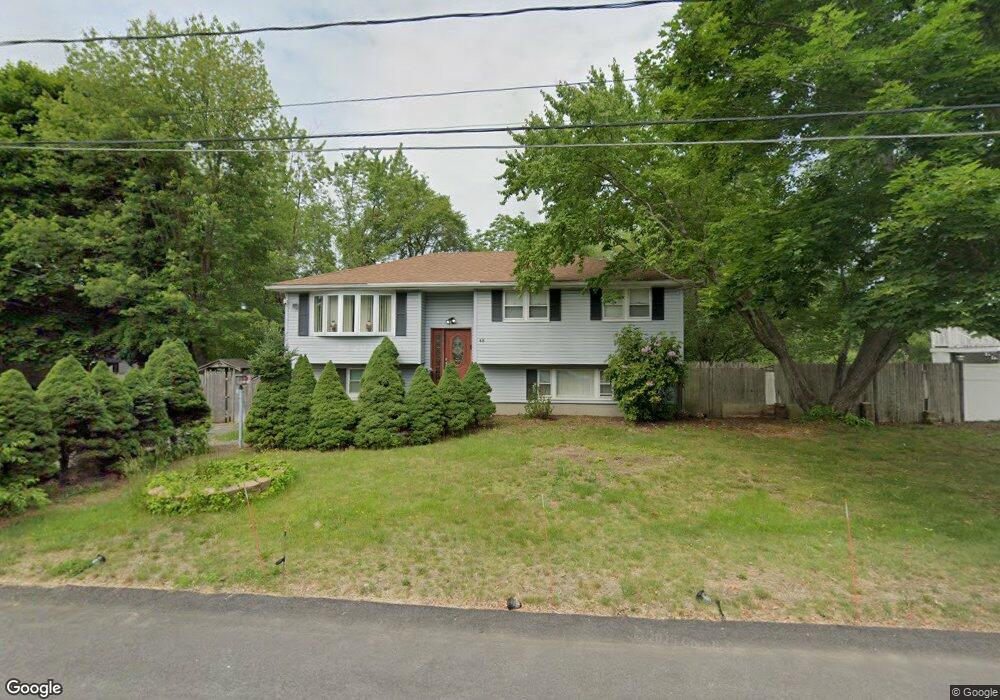
48 Dudley Ave Unit 1 Brockton, MA 02302
Estimated Value: $545,000 - $588,000
2
Beds
1
Bath
1,500
Sq Ft
$378/Sq Ft
Est. Value
About This Home
This home is located at 48 Dudley Ave Unit 1, Brockton, MA 02302 and is currently estimated at $567,674, approximately $378 per square foot. 48 Dudley Ave Unit 1 is a home located in Plymouth County with nearby schools including Gilmore Elementary School, Davis K-8 School, and John F. Kennedy Elementary School.
Ownership History
Date
Name
Owned For
Owner Type
Purchase Details
Closed on
Nov 17, 2021
Sold by
Dosreis Maria L
Bought by
Linares Rolando
Current Estimated Value
Home Financials for this Owner
Home Financials are based on the most recent Mortgage that was taken out on this home.
Original Mortgage
$427,500
Outstanding Balance
$391,730
Interest Rate
2.99%
Mortgage Type
Purchase Money Mortgage
Estimated Equity
$175,944
Create a Home Valuation Report for This Property
The Home Valuation Report is an in-depth analysis detailing your home's value as well as a comparison with similar homes in the area
Home Values in the Area
Average Home Value in this Area
Purchase History
| Date | Buyer | Sale Price | Title Company |
|---|---|---|---|
| Linares Rolando | $450,000 | None Available |
Source: Public Records
Mortgage History
| Date | Status | Borrower | Loan Amount |
|---|---|---|---|
| Open | Linares Rolando | $427,500 |
Source: Public Records
Tax History Compared to Growth
Tax History
| Year | Tax Paid | Tax Assessment Tax Assessment Total Assessment is a certain percentage of the fair market value that is determined by local assessors to be the total taxable value of land and additions on the property. | Land | Improvement |
|---|---|---|---|---|
| 2025 | $5,873 | $485,000 | $161,200 | $323,800 |
| 2024 | $5,518 | $459,100 | $161,200 | $297,900 |
| 2023 | $5,335 | $411,000 | $111,600 | $299,400 |
| 2022 | $4,948 | $354,200 | $101,400 | $252,800 |
| 2021 | $4,786 | $330,100 | $94,500 | $235,600 |
| 2020 | $4,693 | $309,800 | $82,800 | $227,000 |
| 2019 | $4,505 | $289,900 | $79,200 | $210,700 |
| 2018 | $4,014 | $264,500 | $79,200 | $185,300 |
| 2017 | $4,014 | $249,300 | $79,200 | $170,100 |
| 2016 | $3,804 | $219,100 | $75,500 | $143,600 |
| 2015 | $3,804 | $209,600 | $75,500 | $134,100 |
| 2014 | $3,641 | $200,800 | $75,500 | $125,300 |
Source: Public Records
Map
Nearby Homes
- 265 Summer St
- 99 Grove St
- 54 Ferris Ave
- 103 Clinton St
- 29 Hancock St
- 78 Summer St
- 45 Thatcher St
- 70 Pine St
- 34 Oakland St
- 60 Addison Ave
- 28 Crescent Ave
- 18 Florence St
- 112 Hillside Ave
- 223 Clinton St Unit 10
- 223 Clinton St Unit 3
- 223 Clinton St Unit 16
- 37 Taylor Ave
- 48 Taylor Ave
- 28 Wallace St
- 936 Warren Ave
- 48 Dudley Ave
- 56 Dudley Ave
- 40 Dudley Ave
- 45 Dudley Ave
- 9 Blueberry Cir
- 32 Dudley Ave
- 2 Blueberry Cir
- 35 Blueberry Cir
- 31 Dudley Ave
- 10 Blueberry Cir
- 58 Blueberry Cir
- 58 Blueberry Cir Unit 1
- 24 Dudley Ave
- 23 Dudley Ave
- 50 Blueberry Cir
- 18 Blueberry Cir
- 34 Blueberry Cir
- 42 Blueberry Cir
- 26 Blueberry Cir
- 155 N Leyden St