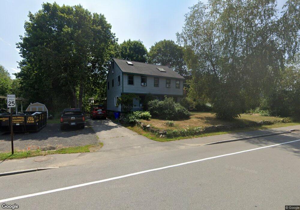
48 Epping Rd Exeter, NH 03833
Estimated Value: $572,583 - $616,000
About This Home
This home is located at 48 Epping Rd, Exeter, NH 03833 and is currently estimated at $591,646, approximately $322 per square foot. 48 Epping Rd is a home located in Rockingham County with nearby schools including Main Street School, Lincoln Street Elementary School, and Cooperative Middle School.
Ownership History
We collect this data history from publicly available records. To have your information removed, we recommend requesting removal directly through your county’s website.
Purchase Details
Purchase Details
Home Financials for this Owner
Home Financials are based on the most recent Mortgage that was taken out on this home.Home Values in the Area
Average Home Value in this Area
Purchase History
We collect this data history from publicly available records. To have your information removed, we recommend requesting removal directly through your county’s website.
| Date | Buyer | Sale Price | Title Company |
|---|---|---|---|
| -- | None Available | ||
| -- | None Available | ||
| -- | None Available | ||
| $255,000 | -- |
Mortgage History
We collect this data history from publicly available records. To have your information removed, we recommend requesting removal directly through your county’s website.
| Date | Status | Borrower | Loan Amount |
|---|---|---|---|
| Previous Owner | $250,381 |
Tax History
We collect this data history from publicly available records. To have your information removed, we recommend requesting removal directly through your county’s website.
| Year | Tax Paid | Tax Assessment Tax Assessment Total Assessment is a certain percentage of the fair market value that is determined by local assessors to be the total taxable value of land and additions on the property. | Land | Improvement |
|---|---|---|---|---|
| 2025 | $8,759 | $466,900 | $189,100 | $277,800 |
| 2024 | $8,306 | $466,900 | $189,100 | $277,800 |
| 2023 | $8,280 | $309,200 | $111,200 | $198,000 |
| 2022 | $7,653 | $309,200 | $111,200 | $198,000 |
| 2021 | $7,229 | $301,100 | $111,200 | $189,900 |
| 2020 | $7,129 | $291,100 | $111,200 | $179,900 |
| 2019 | $7,929 | $291,100 | $111,200 | $179,900 |
| 2018 | $7,978 | $242,000 | $71,500 | $170,500 |
| 2017 | $6,478 | $242,000 | $71,500 | $170,500 |
| 2016 | $6,350 | $242,000 | $71,500 | $170,500 |
| 2015 | $6,099 | $238,800 | $71,500 | $167,300 |
| 2014 | $5,407 | $207,500 | $63,100 | $144,400 |
| 2013 | $5,401 | $207,500 | $63,100 | $144,400 |
| 2011 | $5,246 | $207,500 | $63,100 | $144,400 |
Map
- 9 Comings Ct
- 5 Brookside Dr Unit 9
- 2 Brookside Dr Unit 11
- 50 Brookside Dr Unit A5
- 14 Harvard St
- 12 Little River Rd Unit 7
- 17-19 Dartmouth St
- 180 Front St
- 76 Wadleigh St Unit 37
- 72 Wadleigh St Unit 38
- 86 Wadleigh St Unit 34
- 100 Wadleigh St Unit 30
- 21 Wadleigh St Unit LOT 6
- 60 Main St
- 12 Union St
- 39 Ernest Ave Unit 202
- 24 Willey Creek Rd Unit 208
- 24 Willey Creek Rd Unit 203
- 24 Willey Creek Rd Unit B 105
- 1 Scammon Ln
Ask me questions while you tour the home.