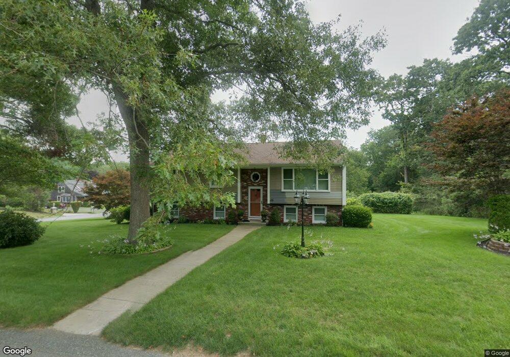
48 Fairway Dr Acushnet, MA 02743
Sherwood Forest NeighborhoodEstimated Value: $571,384 - $653,000
Studio
2
Baths
2,013
Sq Ft
$300/Sq Ft
Est. Value
About This Home
This home is located at 48 Fairway Dr, Acushnet, MA 02743 and is currently estimated at $603,846, approximately $299 per square foot. 48 Fairway Dr is a home located in Bristol County with nearby schools including Acushnet Elementary School, Albert F Ford Middle School, and Alma del Mar Charter School.
Ownership History
Date
Name
Owned For
Owner Type
Purchase Details
Closed on
Feb 2, 1996
Sold by
Rebello Hilda U
Bought by
Carvalho Jose C and Carvalho Julieta M
Current Estimated Value
Home Financials for this Owner
Home Financials are based on the most recent Mortgage that was taken out on this home.
Original Mortgage
$70,000
Interest Rate
7.25%
Mortgage Type
Purchase Money Mortgage
Create a Home Valuation Report for This Property
The Home Valuation Report is an in-depth analysis detailing your home's value as well as a comparison with similar homes in the area
Home Values in the Area
Average Home Value in this Area
Purchase History
| Date | Buyer | Sale Price | Title Company |
|---|---|---|---|
| Carvalho Jose C | $132,500 | -- |
Source: Public Records
Mortgage History
| Date | Status | Borrower | Loan Amount |
|---|---|---|---|
| Open | Carvalho Jose C | $60,000 | |
| Closed | Carvalho Jose C | $70,000 |
Source: Public Records
Tax History
| Year | Tax Paid | Tax Assessment Tax Assessment Total Assessment is a certain percentage of the fair market value that is determined by local assessors to be the total taxable value of land and additions on the property. | Land | Improvement |
|---|---|---|---|---|
| 2025 | $52 | $482,000 | $140,200 | $341,800 |
| 2024 | $5,067 | $444,100 | $132,500 | $311,600 |
| 2023 | $4,890 | $407,500 | $114,700 | $292,800 |
| 2022 | $4,447 | $335,100 | $109,600 | $225,500 |
| 2021 | $4,471 | $323,300 | $109,600 | $213,700 |
| 2020 | $4,507 | $323,300 | $109,600 | $213,700 |
| 2019 | $4,587 | $323,500 | $112,100 | $211,400 |
| 2018 | $4,457 | $309,100 | $112,100 | $197,000 |
| 2017 | $4,339 | $300,500 | $112,100 | $188,400 |
| 2016 | $4,060 | $279,400 | $104,500 | $174,900 |
| 2015 | $3,750 | $262,600 | $104,500 | $158,100 |
Source: Public Records
Map
Nearby Homes
- 134 Nyes Ln
- 1015 Forbes St
- 329 Middle Rd
- SS Charbonneau Ln
- 40 Foley Dr
- ES Acushnet Ave
- 765 Pine Hill Dr
- 145 Heritage Dr
- 34 Poplar Rd
- WS Phillips Rd
- ES Phillips Rd
- 7 Hamlin St
- 1044 Phillips Rd Unit 25
- 1044 Phillips Rd Unit 20
- 23 Coury Dr
- 0 Keene Rd Unit 73459818
- 2800 Acushnet Ave
- 898 Tobey St
- 1251 Church St Unit 10
- 1261 Church St Unit 70
Your Personal Tour Guide
Ask me questions while you tour the home.