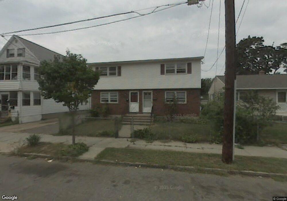
48 Governor St Unit 50 Springfield, MA 01104
Liberty Heights NeighborhoodEstimated Value: $291,000 - $409,000
4
Beds
4
Baths
2,052
Sq Ft
$173/Sq Ft
Est. Value
About This Home
This home is located at 48 Governor St Unit 50, Springfield, MA 01104 and is currently estimated at $355,054, approximately $173 per square foot. 48 Governor St Unit 50 is a home located in Hampden County with nearby schools including Glenwood School, Van Sickle Academy, and High School Of Commerce.
Ownership History
Date
Name
Owned For
Owner Type
Purchase Details
Closed on
Jan 13, 2010
Sold by
Us Bk
Bought by
Cheng Shu and Chan Oi Mei
Current Estimated Value
Purchase Details
Closed on
Jun 19, 2009
Sold by
Barros Paul R
Bought by
Us Bk
Purchase Details
Closed on
Jan 7, 2003
Sold by
Roy Guy and Roy Theresa
Bought by
Barros Paul R
Home Financials for this Owner
Home Financials are based on the most recent Mortgage that was taken out on this home.
Original Mortgage
$116,300
Interest Rate
6.08%
Mortgage Type
Purchase Money Mortgage
Create a Home Valuation Report for This Property
The Home Valuation Report is an in-depth analysis detailing your home's value as well as a comparison with similar homes in the area
Home Values in the Area
Average Home Value in this Area
Purchase History
| Date | Buyer | Sale Price | Title Company |
|---|---|---|---|
| Cheng Shu | $99,000 | -- | |
| Us Bk | $140,000 | -- | |
| Barros Paul R | $119,900 | -- |
Source: Public Records
Mortgage History
| Date | Status | Borrower | Loan Amount |
|---|---|---|---|
| Previous Owner | Barros Paul R | $116,300 |
Source: Public Records
Tax History Compared to Growth
Tax History
| Year | Tax Paid | Tax Assessment Tax Assessment Total Assessment is a certain percentage of the fair market value that is determined by local assessors to be the total taxable value of land and additions on the property. | Land | Improvement |
|---|---|---|---|---|
| 2025 | $5,234 | $333,800 | $37,700 | $296,100 |
| 2024 | $4,715 | $293,600 | $37,700 | $255,900 |
| 2023 | $4,251 | $249,300 | $33,300 | $216,000 |
| 2022 | $4,016 | $213,400 | $31,100 | $182,300 |
| 2021 | $3,850 | $203,700 | $28,300 | $175,400 |
| 2020 | $3,754 | $192,200 | $28,300 | $163,900 |
| 2019 | $3,536 | $179,700 | $23,500 | $156,200 |
| 2018 | $3,141 | $159,600 | $23,500 | $136,100 |
| 2017 | $2,990 | $152,100 | $24,900 | $127,200 |
| 2016 | $2,884 | $146,700 | $24,900 | $121,800 |
| 2015 | $2,783 | $141,500 | $24,900 | $116,600 |
Source: Public Records
Map
Nearby Homes
- 55 Governor St
- 62-64 Governor St
- 46-48 Wait St
- 24 Morrell St
- 661 Carew St
- 75-77 Mooreland St
- 92 Miller St
- 708-710 Carew St
- 723-725 Carew St
- 129 Mooreland St
- 122-124 Mooreland St
- 750 Liberty St
- 774-776 Liberty St
- 11 Leroy Place
- 56-58 Phoenix St
- 37 Phoenix St
- 44-46 Hastings St
- 74 David St
- 31 Denton Cir
- 60-62 Desrosiers St
- 42 Governor St Unit 44
- 42-44 Governor St
- 54 Governor St
- 36-38 Governor St
- 36-38 Governor St Unit 38
- 36 Governor St Unit 38
- 1113 Raymond Place
- 51 Wait St
- 43 Wait St
- 55 Wait St
- 39 Wait St Unit 41
- 39-41 Wait St
- 39/41 Wait St
- 32 Governor St Unit 34
- 62 Governor St Unit 64
- 47 Governor St Unit 49
- 59 Wait St Unit 61
- 39 Governor St Unit 41
- 51 Governor St Unit 53
- 35 Wait St