48 Indego Ln Boston, GA 31626
Estimated Value: $383,647 - $726,000
3
Beds
2
Baths
2,350
Sq Ft
$225/Sq Ft
Est. Value
About This Home
This home is located at 48 Indego Ln, Boston, GA 31626 and is currently estimated at $527,912, approximately $224 per square foot. 48 Indego Ln is a home located in Thomas County with nearby schools including Hand in Hand Primary School, Garrison-Pilcher Elementary School, and Cross Creek Elementary School.
Ownership History
Date
Name
Owned For
Owner Type
Purchase Details
Closed on
Apr 13, 2018
Sold by
Mcbride Phillip
Bought by
Christie Kevin W and Christie Jennifer
Current Estimated Value
Home Financials for this Owner
Home Financials are based on the most recent Mortgage that was taken out on this home.
Original Mortgage
$275,500
Outstanding Balance
$234,359
Interest Rate
4.44%
Mortgage Type
New Conventional
Estimated Equity
$293,553
Purchase Details
Closed on
Feb 16, 2001
Sold by
Anderson Kathryn M
Bought by
Mcbride Phillip
Purchase Details
Closed on
Sep 10, 1990
Bought by
Anderson Kathryn M
Create a Home Valuation Report for This Property
The Home Valuation Report is an in-depth analysis detailing your home's value as well as a comparison with similar homes in the area
Purchase History
| Date | Buyer | Sale Price | Title Company |
|---|---|---|---|
| Christie Kevin W | $290,000 | -- | |
| Mcbride Phillip | $170,000 | -- | |
| Anderson Kathryn M | $2,200 | -- |
Source: Public Records
Mortgage History
| Date | Status | Borrower | Loan Amount |
|---|---|---|---|
| Open | Christie Kevin W | $275,500 |
Source: Public Records
Tax History
| Year | Tax Paid | Tax Assessment Tax Assessment Total Assessment is a certain percentage of the fair market value that is determined by local assessors to be the total taxable value of land and additions on the property. | Land | Improvement |
|---|---|---|---|---|
| 2025 | $2,775 | $141,309 | $25,128 | $116,181 |
| 2024 | $2,804 | $137,572 | $25,128 | $112,444 |
| 2023 | $2,488 | $125,171 | $20,102 | $105,069 |
| 2022 | $2,490 | $113,630 | $20,102 | $93,528 |
| 2021 | $2,333 | $96,936 | $17,480 | $79,456 |
| 2020 | $2,332 | $94,548 | $17,480 | $77,068 |
| 2019 | $2,400 | $94,548 | $17,480 | $77,068 |
| 2018 | $2,386 | $93,761 | $17,480 | $76,281 |
| 2017 | $2,456 | $95,014 | $17,480 | $77,534 |
| 2016 | $2,429 | $93,344 | $17,480 | $75,864 |
| 2015 | $2,405 | $91,039 | $17,480 | $73,558 |
| 2014 | $2,373 | $89,456 | $17,480 | $71,976 |
| 2013 | -- | $89,456 | $17,480 | $71,976 |
Source: Public Records
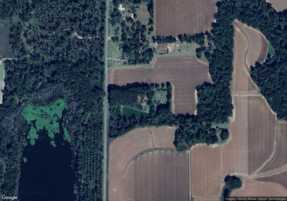
Map
Nearby Homes
- 0000 0000 Ozell Road (15+ - Acres)
- 0 Ozell Rd Unit 26629849
- 2773 Georgia 33
- 7402 Coffee Rd
- 9900 Ozell Rd
- 2195 Coffee Rd
- 56 Egypt Rd Unit 10
- 101 Bailey Cir
- 111 Nicole Britt Dr
- 201 Bailey Cir
- 106 Nicole Britt Dr
- 1038-BA Church St
- 536 N Leaphart St
- 365& 371 Oakridge Ave
- 146 Old Highway 84 W
- 612-BN W Railroad Ave
- 813 Vonier Rd
- 611 Bn S Main St
- 1477 Fox Meadow Ln
- 2951 Summerhill Rd
- 48 Indigo Ln
- 4880 Five Forks Rd
- 53 B and N Ln
- 4988 Five Forks Rd
- 4910 Five Forks Rd
- 40 B and N Ln
- 251 Taylor Ln
- 4932 Five Forks Rd
- 5078 Five Forks Rd
- 4483 Five Forks Rd
- 4321 Five Forks Rd
- 5227 Five Forks Rd
- 6965 Ozell Rd
- 6835 Ozell Rd
- 6225 Ozell Rd
- 110 Paces Ln
- 17284 Eason Crossing Rd
- 17360 Eason Crossing Rd
- 6095 Ozell Rd
- 114 Paces Ln Unit 9
Your Personal Tour Guide
Ask me questions while you tour the home.