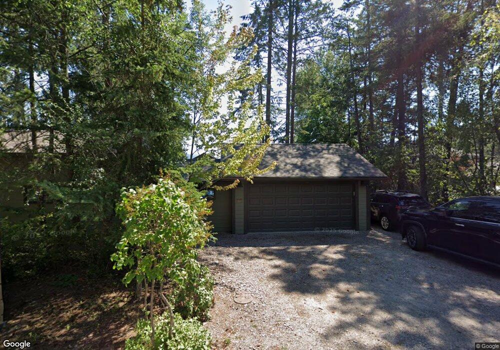
48 Lakeshore Dr Bigfork, MT 59911
Estimated Value: $1,385,085 - $1,681,000
3
Beds
2
Baths
1,865
Sq Ft
$794/Sq Ft
Est. Value
About This Home
This home is located at 48 Lakeshore Dr, Bigfork, MT 59911 and is currently estimated at $1,481,021, approximately $794 per square foot. 48 Lakeshore Dr is a home located in Lake County with nearby schools including Bigfork Elementary School, Bigfork Middle School, and Bigfork High School.
Ownership History
Date
Name
Owned For
Owner Type
Purchase Details
Closed on
Aug 9, 2016
Sold by
W S Anderson Trust
Bought by
Wagner Robert A and Wagner Diane L
Current Estimated Value
Home Financials for this Owner
Home Financials are based on the most recent Mortgage that was taken out on this home.
Original Mortgage
$417,000
Outstanding Balance
$332,717
Interest Rate
3.48%
Mortgage Type
New Conventional
Estimated Equity
$1,148,304
Purchase Details
Closed on
Apr 12, 2008
Sold by
Anderson William F and Anderson Sharon M
Bought by
W S Anderson Trust
Create a Home Valuation Report for This Property
The Home Valuation Report is an in-depth analysis detailing your home's value as well as a comparison with similar homes in the area
Purchase History
| Date | Buyer | Sale Price | Title Company |
|---|---|---|---|
| Wagner Robert A | -- | Fidelity National Title | |
| W S Anderson Trust | -- | None Available |
Source: Public Records
Mortgage History
| Date | Status | Borrower | Loan Amount |
|---|---|---|---|
| Open | Wagner Robert A | $417,000 |
Source: Public Records
Tax History
| Year | Tax Paid | Tax Assessment Tax Assessment Total Assessment is a certain percentage of the fair market value that is determined by local assessors to be the total taxable value of land and additions on the property. | Land | Improvement |
|---|---|---|---|---|
| 2025 | $5,458 | $1,332,100 | $0 | $0 |
| 2024 | $6,097 | $1,043,000 | $0 | $0 |
| 2023 | $5,795 | $1,043,000 | $0 | $0 |
| 2022 | $5,660 | $791,700 | $0 | $0 |
| 2021 | $5,981 | $791,700 | $0 | $0 |
| 2020 | $5,668 | $720,920 | $0 | $0 |
| 2019 | $5,552 | $720,920 | $0 | $0 |
| 2018 | $5,619 | $701,450 | $0 | $0 |
| 2017 | $5,493 | $701,450 | $0 | $0 |
| 2016 | $5,747 | $761,800 | $0 | $0 |
| 2015 | $5,353 | $761,800 | $0 | $0 |
| 2014 | -- | $505,143 | $0 | $0 |
Source: Public Records
Map
Nearby Homes
- 14530 Yenne Point Rd
- 52 Hidden Harbor
- 52 Hidden Dr
- Nhn Yenne Point Rd
- 15286 Woods Bay Point Rd
- 32651 Pine Meadow Dr
- 32679 Pine Meadow Dr
- 32960 Barberry Rd
- 32970 Ninebark Ln
- 32962 Ninebark Ln
- 13962 Pine St
- 33676 Hilltop Terrace
- 13390 Mt Highway 35
- 181 Sylvan Dr
- NHN Elkridge Rd
- 17431 Fishing Rock Ln
- 604 Ranch Rd
- 551 Ranch Rd
- 616 Ranch Rd
- 175B Eagle Bend Dr
- 33183 Lakeshore Dr
- 33191 Lakeshore Dr
- 158 Lakeshore Dr
- 33163 Lakeshore Dr
- 26664 E Shore Route
- 30 Lake Shore Dr
- 33149 Lakeshore Dr
- 33170 Lakeshore Dr
- 33146 Lakeshore Dr
- 14656 Yenne Point Rd
- 33125 Lakeshore Dr
- 19102 E Lakeshore Dr
- 0 E Lake Shore Unit 21609418
- 0 E Lake Shore Unit 234007
- 0 E Lake Shore Unit 233562
- 0 E Lake Shore Unit 21907241
- 0 543 624 Yenne Point Rd
- 543 Yenne Point Rd
- 55 Hidden Harbor Ln
- 33239 Walnut Dr
Your Personal Tour Guide
Ask me questions while you tour the home.