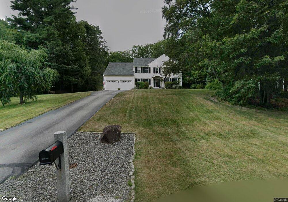
48 Laurel Crest Dr Brookline, NH 03033
Estimated Value: $714,995 - $783,000
4
Beds
3
Baths
3,044
Sq Ft
$250/Sq Ft
Est. Value
About This Home
This home is located at 48 Laurel Crest Dr, Brookline, NH 03033 and is currently estimated at $761,749, approximately $250 per square foot. 48 Laurel Crest Dr is a home with nearby schools including Richard Maghakian Memorial School, Captain Samuel Douglass Academy, and Hollis-Brookline Middle School.
Ownership History
Date
Name
Owned For
Owner Type
Purchase Details
Closed on
Jan 7, 2008
Sold by
Whitbeck Christopher J and Green-Whitbeck Barbara S
Bought by
Bleau Normand C and Bleau Mandi S
Current Estimated Value
Home Financials for this Owner
Home Financials are based on the most recent Mortgage that was taken out on this home.
Original Mortgage
$359,000
Interest Rate
6.27%
Mortgage Type
Purchase Money Mortgage
Purchase Details
Closed on
Aug 21, 1996
Sold by
One Line Rlty Dev Llc
Bought by
Whitbeck Christopher J and Whitbeck Barbara S G
Home Financials for this Owner
Home Financials are based on the most recent Mortgage that was taken out on this home.
Original Mortgage
$145,000
Interest Rate
8.4%
Create a Home Valuation Report for This Property
The Home Valuation Report is an in-depth analysis detailing your home's value as well as a comparison with similar homes in the area
Home Values in the Area
Average Home Value in this Area
Purchase History
| Date | Buyer | Sale Price | Title Company |
|---|---|---|---|
| Bleau Normand C | $359,000 | -- | |
| Whitbeck Christopher J | $188,100 | -- |
Source: Public Records
Mortgage History
| Date | Status | Borrower | Loan Amount |
|---|---|---|---|
| Open | Whitbeck Christopher J | $354,042 | |
| Closed | Whitbeck Christopher J | $359,000 | |
| Previous Owner | Whitbeck Christopher J | $145,000 |
Source: Public Records
Tax History
| Year | Tax Paid | Tax Assessment Tax Assessment Total Assessment is a certain percentage of the fair market value that is determined by local assessors to be the total taxable value of land and additions on the property. | Land | Improvement |
|---|---|---|---|---|
| 2025 | $15,558 | $631,400 | $208,800 | $422,600 |
| 2024 | $14,276 | $631,400 | $208,800 | $422,600 |
| 2023 | $13,120 | $631,400 | $208,800 | $422,600 |
| 2022 | $11,659 | $392,300 | $125,700 | $266,600 |
| 2021 | $11,212 | $392,300 | $125,700 | $266,600 |
| 2020 | $10,906 | $392,300 | $125,700 | $266,600 |
| 2019 | $11,718 | $392,300 | $125,700 | $266,600 |
| 2018 | $11,596 | $392,300 | $125,700 | $266,600 |
| 2017 | $10,139 | $307,800 | $94,900 | $212,900 |
| 2016 | $9,661 | $296,700 | $95,100 | $201,600 |
| 2015 | $9,213 | $296,700 | $95,100 | $201,600 |
| 2014 | $9,747 | $296,700 | $95,100 | $201,600 |
| 2013 | $9,385 | $296,700 | $95,100 | $201,600 |
Source: Public Records
Map
Nearby Homes
- 9 Winterberry Rd
- 7 Winterberry Rd
- 198 N End Rd
- 61 Russell Hill Rd
- 0 Brookline St
- 64 Meadow Rd
- 410 Hurricane Hill Rd
- 9 Quigley Way
- 52 Mason Rd
- 6 Skyline Dr
- 9 Bohanon Bridge Rd
- 25 Pepperell Rd
- 6 High Oaks Path
- 131 Route 13
- 97 Babb Meadow Ln
- 5 Turnpike Rd Unit 213 TWO
- 5 Turnpike Rd Unit 116
- 8 Old Meetinghouse Rd
- 2 Everett Dr
- 6 Flint Meadow Dr
- 48 Laurelcrest Dr
- 46 Laurel Crest Dr
- 50 Laurel Crest Dr
- 50 Laurelcrest Dr
- J-39-49 Laurel Crest Dr
- 49 Laurel Crest Dr
- 28 Laurel Crest Dr
- 47 Laurel Crest Dr
- 52 Laurelcrest Dr
- 44 Laurelcrest Dr
- 51 Laurel Crest Dr
- 43 Laurel Crest Dr
- 53 Laurel Crest Dr
- 42 Laurel Crest Dr
- 30 Laurel Crest Dr
- 54 Laurel Crest Dr
- 40 Laurel Crest Dr
- 55 Laurel Crest Dr
- 56 Laurel Crest Dr
- 39 Laurel Crest Dr
Your Personal Tour Guide
Ask me questions while you tour the home.