48 Lawrence Ave Danbury, CT 06810
Estimated Value: $628,000 - $651,000
3
Beds
4
Baths
2,323
Sq Ft
$275/Sq Ft
Est. Value
About This Home
This home is located at 48 Lawrence Ave, Danbury, CT 06810 and is currently estimated at $638,798, approximately $274 per square foot. 48 Lawrence Ave is a home located in Fairfield County with nearby schools including Shelter Rock School, Rogers Park Middle School, and Danbury High School.
Ownership History
Date
Name
Owned For
Owner Type
Purchase Details
Closed on
Aug 11, 2020
Sold by
Evins Mark C and Evins Veronica P
Bought by
Morabito Rocco J and Morabito Sally A
Current Estimated Value
Purchase Details
Closed on
Dec 12, 2016
Sold by
Hennessy Barbara L
Bought by
Evins Mark C and Evins Veronica P
Home Financials for this Owner
Home Financials are based on the most recent Mortgage that was taken out on this home.
Original Mortgage
$333,625
Interest Rate
3.47%
Mortgage Type
Purchase Money Mortgage
Create a Home Valuation Report for This Property
The Home Valuation Report is an in-depth analysis detailing your home's value as well as a comparison with similar homes in the area
Home Values in the Area
Average Home Value in this Area
Purchase History
| Date | Buyer | Sale Price | Title Company |
|---|---|---|---|
| Morabito Rocco J | -- | None Available | |
| Morabito Rocco J | -- | None Available | |
| Evins Mark C | $392,500 | -- |
Source: Public Records
Mortgage History
| Date | Status | Borrower | Loan Amount |
|---|---|---|---|
| Previous Owner | Evins Mark C | $333,625 |
Source: Public Records
Tax History Compared to Growth
Tax History
| Year | Tax Paid | Tax Assessment Tax Assessment Total Assessment is a certain percentage of the fair market value that is determined by local assessors to be the total taxable value of land and additions on the property. | Land | Improvement |
|---|---|---|---|---|
| 2025 | $9,231 | $369,390 | $0 | $369,390 |
| 2024 | $9,028 | $369,390 | $0 | $369,390 |
| 2023 | $8,618 | $369,390 | $0 | $369,390 |
| 2022 | $7,828 | $277,400 | $0 | $277,400 |
| 2021 | $7,656 | $277,400 | $0 | $277,400 |
| 2020 | $7,656 | $277,400 | $0 | $277,400 |
| 2019 | $7,656 | $277,400 | $0 | $277,400 |
| 2018 | $7,656 | $277,400 | $0 | $277,400 |
| 2017 | $8,384 | $289,600 | $0 | $289,600 |
| 2016 | $8,306 | $289,600 | $0 | $289,600 |
| 2015 | $8,184 | $289,600 | $0 | $289,600 |
| 2014 | $7,993 | $289,600 | $0 | $289,600 |
Source: Public Records
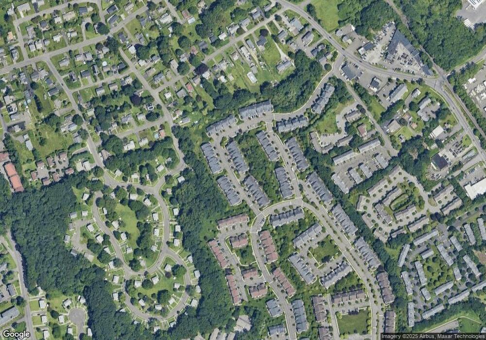
Map
Nearby Homes
- 80 Tucker St Unit 80
- 10 South St Unit 66
- 6 Paulding Terrace
- 104 Coalpit Hill Rd Unit B8
- 81 Coalpit Hill Rd Unit B
- 92 Woodcrest Ln
- 1 Skyline Dr
- 30 Mountain Rd
- 15A Mountainville Rd
- 35 Briarwood Dr
- 12 Mountainville Rd
- 23 Westview Dr
- 32 Crows Nest Ln Unit 23
- 9 Mountainville Rd
- 8 Briarwood Dr
- 127 Triangle St
- 51 Wildman St Unit 407
- 25 Topstone Dr
- 156 Triangle St
- 17 Briar Ridge Dr Unit 17
- 64 Lawrence Ave
- 62 Lawrence Ave
- 60 Lawrence Ave
- 58 Lawrence Ave
- 50 Lawrence Ave
- 52 Lawrence Ave
- 54 Lawrence Ave
- 56 Lawrence Ave
- 46 Lawrence Ave
- 44 Lawrence Ave
- 42 Lawrence Ave
- 74 Lawrence Ave
- 72 Lawrence Ave
- 70 Lawrence Ave
- 64 Lawrence Ave Unit 2408
- 74 Lawrence Ave Unit 1507
- 48 Lawrence Ave Unit 2208
- 70 Lawrence Ave Unit 70
- 72 Lawrence Ave Unit 72
- 54 Lawrence Ave Unit 54