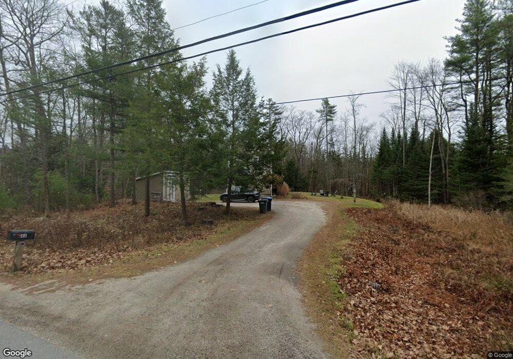
48 Litchfield Rd Freeport, ME 04032
Estimated Value: $710,000 - $868,000
3
Beds
2
Baths
1,844
Sq Ft
$426/Sq Ft
Est. Value
About This Home
This home is located at 48 Litchfield Rd, Freeport, ME 04032 and is currently estimated at $786,422, approximately $426 per square foot. 48 Litchfield Rd is a home located in Cumberland County with nearby schools including Morse Street School, Mast Landing School, and Freeport Middle School.
Ownership History
Date
Name
Owned For
Owner Type
Purchase Details
Closed on
Oct 24, 2011
Sold by
Carter David J and Carter Emily G
Bought by
Simmons Kent A and Johnston Tanji L
Current Estimated Value
Home Financials for this Owner
Home Financials are based on the most recent Mortgage that was taken out on this home.
Original Mortgage
$270,000
Outstanding Balance
$181,884
Interest Rate
4.15%
Mortgage Type
Purchase Money Mortgage
Estimated Equity
$604,538
Purchase Details
Closed on
Mar 16, 2007
Sold by
Kbmt Enterprise Inc
Bought by
Carter David J and Carter Emily G
Home Financials for this Owner
Home Financials are based on the most recent Mortgage that was taken out on this home.
Original Mortgage
$223,800
Interest Rate
6.4%
Mortgage Type
Unknown
Create a Home Valuation Report for This Property
The Home Valuation Report is an in-depth analysis detailing your home's value as well as a comparison with similar homes in the area
Home Values in the Area
Average Home Value in this Area
Purchase History
| Date | Buyer | Sale Price | Title Company |
|---|---|---|---|
| Simmons Kent A | $300,000 | -- | |
| Carter David J | -- | -- |
Source: Public Records
Mortgage History
| Date | Status | Borrower | Loan Amount |
|---|---|---|---|
| Open | Simmons Kent A | $270,000 | |
| Previous Owner | Carter David J | $238,000 | |
| Previous Owner | Carter David J | $223,800 | |
| Previous Owner | Carter David J | $10,600 |
Source: Public Records
Tax History
| Year | Tax Paid | Tax Assessment Tax Assessment Total Assessment is a certain percentage of the fair market value that is determined by local assessors to be the total taxable value of land and additions on the property. | Land | Improvement |
|---|---|---|---|---|
| 2025 | $5,832 | $421,100 | $148,900 | $272,200 |
| 2024 | $5,526 | $413,900 | $141,700 | $272,200 |
| 2023 | $5,026 | $365,500 | $128,800 | $236,700 |
| 2022 | $4,888 | $358,100 | $121,400 | $236,700 |
| 2021 | $4,781 | $358,100 | $121,400 | $236,700 |
| 2020 | $4,623 | $330,200 | $112,400 | $217,800 |
| 2019 | $4,449 | $311,100 | $106,100 | $205,000 |
| 2018 | $4,372 | $290,500 | $98,800 | $191,700 |
| 2017 | $4,180 | $279,600 | $96,500 | $183,100 |
| 2016 | $4,089 | $258,800 | $89,300 | $169,500 |
| 2015 | $4,126 | $245,600 | $84,700 | $160,900 |
| 2014 | $3,880 | $245,600 | $84,700 | $160,900 |
| 2013 | $3,869 | $244,100 | $83,800 | $160,300 |
Source: Public Records
Map
Nearby Homes
- 44 Litchfield Rd
- 2 Newfield Rd Unit Lot31
- 2 Newfield Rd
- Lot B Litchfield Rd
- Lot A Litchfield Rd
- Lot 4 Newfield Rd
- 4 Newfield Rd
- 6 Newfield Rd Unit Lot29
- 6 Newfield Rd
- 6 Newfield Road (Lot 29)
- Lot 6 Newfield Rd
- 47 Litchfield Rd
- 47 Litchfield Rd
- 5 Newfield Rd
- Lot 3 Newfield Rd
- 3 Newfield Rd
- Lot #1 Newfield Rd
- Lot 1 Newfield Rd
- 8 Newfield Rd
- 7 Newfield Rd
Your Personal Tour Guide
Ask me questions while you tour the home.