48 Locke Rd Bristol, NH 03222
Estimated Value: $429,000 - $510,000
5
Beds
1
Bath
1,825
Sq Ft
$261/Sq Ft
Est. Value
About This Home
This home is located at 48 Locke Rd, Bristol, NH 03222 and is currently estimated at $475,496, approximately $260 per square foot. 48 Locke Rd is a home with nearby schools including New Hampton School.
Ownership History
Date
Name
Owned For
Owner Type
Purchase Details
Closed on
Dec 23, 2010
Sold by
Worthen Samuel H
Bought by
Worthen Rachel A
Current Estimated Value
Home Financials for this Owner
Home Financials are based on the most recent Mortgage that was taken out on this home.
Original Mortgage
$144,000
Outstanding Balance
$94,896
Interest Rate
4.17%
Mortgage Type
Purchase Money Mortgage
Estimated Equity
$380,600
Create a Home Valuation Report for This Property
The Home Valuation Report is an in-depth analysis detailing your home's value as well as a comparison with similar homes in the area
Home Values in the Area
Average Home Value in this Area
Purchase History
| Date | Buyer | Sale Price | Title Company |
|---|---|---|---|
| Worthen Rachel A | $180,000 | -- |
Source: Public Records
Mortgage History
| Date | Status | Borrower | Loan Amount |
|---|---|---|---|
| Open | Worthen Rachel A | $144,000 | |
| Previous Owner | Worthen Rachel A | $175,000 |
Source: Public Records
Tax History Compared to Growth
Tax History
| Year | Tax Paid | Tax Assessment Tax Assessment Total Assessment is a certain percentage of the fair market value that is determined by local assessors to be the total taxable value of land and additions on the property. | Land | Improvement |
|---|---|---|---|---|
| 2024 | $4,461 | $188,869 | $63,469 | $125,400 |
| 2023 | $4,292 | $188,677 | $62,777 | $125,900 |
| 2022 | $3,961 | $188,714 | $63,614 | $125,100 |
| 2021 | $3,839 | $189,958 | $64,858 | $125,100 |
| 2020 | $3,931 | $189,983 | $64,883 | $125,100 |
| 2019 | $3,734 | $163,754 | $49,354 | $114,400 |
| 2018 | $3,572 | $163,835 | $49,435 | $114,400 |
| 2017 | $3,621 | $163,638 | $49,238 | $114,400 |
| 2016 | $3,369 | $163,402 | $49,002 | $114,400 |
| 2015 | $3,306 | $164,242 | $47,442 | $116,800 |
| 2014 | $3,309 | $164,395 | $47,595 | $116,800 |
| 2013 | $3,317 | $164,395 | $77,795 | $86,600 |
Source: Public Records
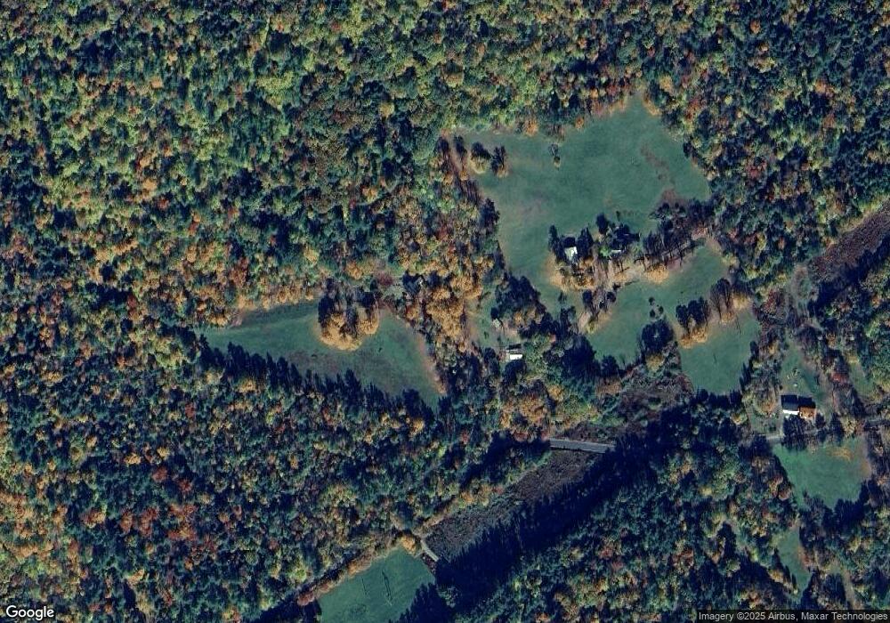
Map
Nearby Homes
- 00 Peaked Hill Rd Unit 7.1, 7.2, 7.3, 7.4,
- 150 Peaked Hill Rd
- Lot 7 Hall Rd
- 94 Mandi Ln
- 216 Jenness Hill Rd
- 571 New Hampshire 104
- 26 Don Gerry Rd
- 54 Mansfield Woods Way
- 63 Mansfield Woods Way
- 14 Mansfield Woods Way
- 12 Wolfe Den Dr
- 6 Mansfield Woods Way
- R3 Lot 30 Gordon Hill Rd
- 30 Beech St Unit 4B
- 30 Beech St Unit 4C
- 35 Manor Estates Dr Unit 14
- 333 Lake St
- 135 Pleasant St
- 114 Ledgewood Terrace
- 199 Cottage City Rd
- 75 Old Stage Rd
- 0 Peaked Hill Rd Unit 15
- 0 Peaked Hill Rd Unit 5019415
- 0 Peaked Hill Rd Unit 11 5015723
- 0 Peaked Hill Rd Unit Map 218 Lot 11
- Lot 1 Peaked Hill Rd
- Lot 17 Peaked Hill Rd
- 00 Peaked Hill Rd
- 815 Peaked Hill Rd
- Lot 93A Peaked Hill Rd
- 00 and Lot 11 Peaked Hill Rd Unit 7.1, 7.2, 7.3, 7.4 A
- 770 Peaked Hill Rd
- 880 Peaked Hill Rd
- 684 Peaked Hill Rd
- 939 Peaked Hill Rd
- 31 Ten Mile Brook Rd
- 55 Ten Mile Brook Rd
- 950 Peaked Hill Rd
- 95 Ten Mile Brook Rd
- 148 Ten Mile Brook Rd