48 Maquoit Dr Freeport, ME 04032
Estimated Value: $720,000
1
Bed
1
Bath
750
Sq Ft
$960/Sq Ft
Est. Value
About This Home
This home is located at 48 Maquoit Dr, Freeport, ME 04032 and is currently priced at $720,000, approximately $960 per square foot. 48 Maquoit Dr is a home located in Cumberland County with nearby schools including Morse Street School, Mast Landing School, and Freeport Middle School.
Create a Home Valuation Report for This Property
The Home Valuation Report is an in-depth analysis detailing your home's value as well as a comparison with similar homes in the area
Home Values in the Area
Average Home Value in this Area
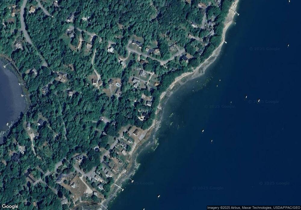
Map
Nearby Homes
- 70 Maquoit Dr
- 71 Merganser Way
- 83 Central Ave
- 52 Birch Point Rd
- 29 S Freeport Rd
- 26 Harvest Ridge Rd Unit 24
- 853 Mere Point Rd
- Map 80 Lot 18-0 White Island
- 15 Linwood Rd Unit 15
- 15 Tinkers Way
- 39 Hunter Rd
- 1 Mallard Pond Rd
- Lot 2B Allen Point Rd
- 10 Durham Rd
- 31 Goose Ledge Rd
- 10 Prout Rd
- 42 Durham Rd
- 1260 Us Route 1
- 0 Gundalo Gap Rd Unit 1638108
- 0 Prout Rd
- 46 Maquoit Dr
- 52 Maquoit Dr
- 54 Maquoit Dr
- 42 Maquoit Dr
- 41 Maquoit Dr
- 49 Maquoit Dr
- 51 Maquoit Dr
- 39 Maquoit Dr
- 60 Maquoit Dr
- 55 Maquoit Dr
- 34 Island View Ln
- 16 Retriever Ln
- 8 Retriever Ln
- 62 Maquoit Dr
- 52 Byram Ave
- 307 Lower Flying Point Rd
- 32 Island View Ln
- 44 Byram Ave Unit 44B
- 44 Byram Ave
- 30 Island View Ln
Your Personal Tour Guide
Ask me questions while you tour the home.