48 Mccurdy Rd New Boston, NH 03070
New Boston NeighborhoodEstimated Value: $590,144 - $724,000
3
Beds
2
Baths
1,944
Sq Ft
$331/Sq Ft
Est. Value
About This Home
This home is located at 48 Mccurdy Rd, New Boston, NH 03070 and is currently estimated at $642,536, approximately $330 per square foot. 48 Mccurdy Rd is a home with nearby schools including New Boston Central School and Goffstown High School.
Create a Home Valuation Report for This Property
The Home Valuation Report is an in-depth analysis detailing your home's value as well as a comparison with similar homes in the area
Home Values in the Area
Average Home Value in this Area
Tax History Compared to Growth
Tax History
| Year | Tax Paid | Tax Assessment Tax Assessment Total Assessment is a certain percentage of the fair market value that is determined by local assessors to be the total taxable value of land and additions on the property. | Land | Improvement |
|---|---|---|---|---|
| 2024 | $10,141 | $426,291 | $195,791 | $230,500 |
| 2023 | $8,675 | $426,309 | $195,809 | $230,500 |
| 2022 | $8,179 | $426,428 | $195,928 | $230,500 |
| 2021 | $7,888 | $426,365 | $195,865 | $230,500 |
| 2020 | $7,354 | $305,277 | $127,877 | $177,400 |
| 2019 | $7,395 | $295,194 | $127,894 | $167,300 |
| 2018 | $7,046 | $295,184 | $127,884 | $167,300 |
| 2017 | $7,186 | $295,107 | $127,807 | $167,300 |
| 2016 | $6,889 | $295,035 | $127,735 | $167,300 |
| 2015 | $7,228 | $270,620 | $119,520 | $151,100 |
| 2014 | $6,887 | $270,602 | $148,700 | $121,902 |
| 2013 | $6,561 | $270,651 | $148,700 | $121,951 |
Source: Public Records
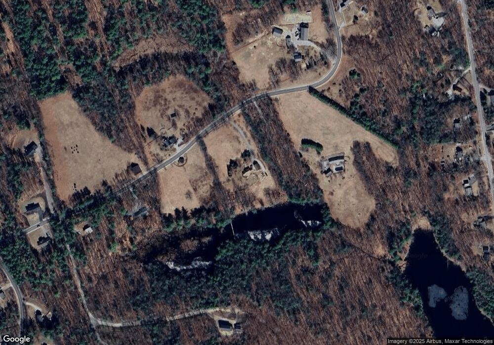
Map
Nearby Homes
- 79 Summit Dr
- 9 Burnham Dr
- 119 Laurel Ln
- 110 Foxberry Dr
- 42 Mason Dr
- 150 Foxberry Dr
- Lot 33 Sawmill Ln
- Lot 26 Sawmill Ln
- 19 Carriage Rd
- 16 Meetinghouse Hill Rd
- 1 Old Coach Rd
- 135 Mccollum Rd
- 393 Chestnut Hill Rd
- 54 Briar Hill Rd
- 117 Byam Rd
- 171 S Hill Rd
- 11 Cedar Dr
- 230 Old Coach Rd Unit 56-2
- 236 Old Coach Rd Unit 56-3
- 157 Brook Rd