48 Mountain Laurel Dr Wethersfield, CT 06109
Estimated Value: $166,000 - $189,000
2
Beds
1
Bath
845
Sq Ft
$211/Sq Ft
Est. Value
About This Home
This home is located at 48 Mountain Laurel Dr, Wethersfield, CT 06109 and is currently estimated at $178,555, approximately $211 per square foot. 48 Mountain Laurel Dr is a home located in Hartford County with nearby schools including Alfred W. Hanmer School, Silas Deane Middle School, and Wethersfield High School.
Ownership History
Date
Name
Owned For
Owner Type
Purchase Details
Closed on
May 16, 2007
Sold by
Gacek Daniel
Bought by
Rodriguez Carlos
Current Estimated Value
Home Financials for this Owner
Home Financials are based on the most recent Mortgage that was taken out on this home.
Original Mortgage
$96,900
Outstanding Balance
$58,973
Interest Rate
6.18%
Estimated Equity
$119,582
Purchase Details
Closed on
Jun 7, 2004
Sold by
Nowak-Moran Noreen
Bought by
Gacek Daniel E
Home Financials for this Owner
Home Financials are based on the most recent Mortgage that was taken out on this home.
Original Mortgage
$92,150
Interest Rate
5.94%
Purchase Details
Closed on
Sep 1, 1989
Sold by
Ashwood Ct Ltd Prtn
Bought by
Hockman Roderick W
Home Financials for this Owner
Home Financials are based on the most recent Mortgage that was taken out on this home.
Original Mortgage
$84,900
Interest Rate
9.7%
Create a Home Valuation Report for This Property
The Home Valuation Report is an in-depth analysis detailing your home's value as well as a comparison with similar homes in the area
Home Values in the Area
Average Home Value in this Area
Purchase History
| Date | Buyer | Sale Price | Title Company |
|---|---|---|---|
| Rodriguez Carlos | $114,000 | -- | |
| Gacek Daniel E | $97,000 | -- | |
| Hockman Roderick W | $88,815 | -- |
Source: Public Records
Mortgage History
| Date | Status | Borrower | Loan Amount |
|---|---|---|---|
| Open | Hockman Roderick W | $96,900 | |
| Previous Owner | Hockman Roderick W | $92,150 | |
| Previous Owner | Hockman Roderick W | $84,900 |
Source: Public Records
Tax History Compared to Growth
Tax History
| Year | Tax Paid | Tax Assessment Tax Assessment Total Assessment is a certain percentage of the fair market value that is determined by local assessors to be the total taxable value of land and additions on the property. | Land | Improvement |
|---|---|---|---|---|
| 2025 | $3,392 | $82,280 | $0 | $82,280 |
| 2024 | $2,413 | $55,820 | $0 | $55,820 |
| 2023 | $2,332 | $55,820 | $0 | $55,820 |
| 2022 | $2,293 | $55,820 | $0 | $55,820 |
| 2021 | $2,270 | $55,820 | $0 | $55,820 |
| 2020 | $2,271 | $55,820 | $0 | $55,820 |
| 2019 | $2,274 | $55,820 | $0 | $55,820 |
| 2018 | $2,524 | $61,900 | $0 | $61,900 |
| 2017 | $2,462 | $61,900 | $0 | $61,900 |
| 2016 | $2,386 | $61,900 | $0 | $61,900 |
| 2015 | $2,364 | $61,900 | $0 | $61,900 |
| 2014 | $2,274 | $61,900 | $0 | $61,900 |
Source: Public Records
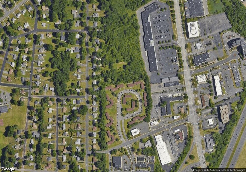
Map
Nearby Homes
- 231 Charter Rd
- 37 Two Stone Dr
- 34 Clayton Dr
- 4 Lexington Ct
- 1610 Silas Deane Hwy
- 211 Fairlane Dr
- 155 Prospect St
- 206 Middletown Ave
- 12 Colonial Dr Unit C
- 18 Colonial Dr Unit A
- 28 Colonial Dr Unit D
- 88 Highland St
- 59 Chapin Ave
- 887 Cloverdale Cir
- 177 Spring St Unit 177
- 373 Prospect St
- 159 Spring St Unit 159
- 268 Fox Hill Rd
- 87 Dale Rd
- 71 Joiners Rd
- 95 Mountain Laurel Dr
- 93 Mountain Laurel Dr
- 91 Mountain Laurel Dr
- 85 Mountain Laurel Dr
- 84 Mountain Laurel Dr
- 82 Mountain Laurel Dr
- 73 Mountain Laurel Dr
- 70 Mountain Laurel Dr
- 68 Mountain Laurel Dr
- 65 Mountain Laurel Dr
- 63 Mountain Laurel Dr
- 59 Mountain Laurel Dr
- 58 Mountain Laurel Dr
- 57 Mountain Laurel Dr
- 55 Mountain Laurel Dr
- 53 Mountain Laurel Dr
- 49 Mountain Laurel Dr
- 44 Mountain Laurel Dr
- 43 Mountain Laurel Dr
- 39 Mountain Laurel Dr